
Urban / City
Circular
Easy
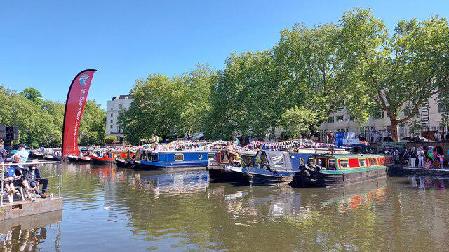
Paddington Little Venice Canalside Walk
A
AJWalkmates
Walk organiser
No comments yet. Be the first.