

Hawkshead Moor
Good walks are even better shared.
SD3496 : Track up to the mast
Hugh Venables Photo source
Overview
Hawkshead Moor: A Jewel of the Lake District
Nestled within the picturesque Lake District, Hawkshead Moor is a charming Marilyn that offers a delightful escape into nature.
Geology
The terrain is primarily formed of sedimentary rocks, showcasing a mix of limestone and shale. These geological features are not just aesthetically pleasing but also a geological storybook, with the chance to stumble upon fossilised remnants if you keep your eyes peeled.
Routes
The highlight for many hikers is the Hawkshead Moor Circular Walk. This moderate route stretches approximately 8 km, winding through lush landscapes and rolling hills, taking around three hours to complete. On this jaunt, you will witness the serene beauty of the Lake District at its best.
Summit Features
At the summit of Hawkshead Moor, you’ll find a charming stone cairn, ideal for catching your breath and enjoying a cheeky snack. Just beware of persistent seagulls—it seems they think those crisps are fair game!
Terrain Type
The terrain varies from grassy slopes to rugged rocky outcrops, occasionally laced with patches of boggy ground that can yield a slightly squelchy experience. A good pair of waterproof boots can be a hiker's best friend!
Views
The views from the summit are absolutely spectacular. You can spot the glittering Windermere and the formidable Coniston Old Man on a clear day. If you’re keen on photography, aim for spring or autumn when the landscape is vibrant and the light is just right for that Instagram shot.
Hazards
As with all moorland walks, it’s important to be mindful of boggy areas, especially after a wet spell. Also, rocky outcrops can become slippery, so a careful foot is advised.
Nearby Summits
Hawkshead Moor is surrounded by some lovely peaks, including Latterbarrow and Blea Tarn, both of which offer unique experiences and vistas of their own.
Access
Finding your way to Hawkshead is simple. There’s parking available in the village centre, and for those on public transport, buses from Ambleside and Bowness-on-Windermere are frequent, making this a perfect spot to embark on your adventure. The nearest town is the quaint village of Hawkshead, filled with character.
Facilities
After your hike, you can pop into one of the local cafes for a much-deserved slice of cake or a cup of tea. Public toilets are also available in the village, ensuring you have everything you need for a comfortable outing.
History
The name ‘Hawkshead’ sheds light on its Norse heritage, historically meaning 'the head or fore-part of a hawk'. Additionally, the area has cultural significance, especially with connections to literary figures like Beatrix Potter, making it a spot steeped in both natural and human history.
In conclusion, Hawkshead Moor is not only a feast for the eyes but also a slice of adventure waiting to be explored. So lace up those boots, pack a picnic, and make your way to this enchanting moor.
Happy Hiking!
Explore routes near Hawkshead Moor
Walks starting near this hill. Open a route to check its map, distance and full itinerary.
Coniston to Tarn Hows: Monk Coniston Gardens and Woodland Circuit
View route
Tarn Hows Fast Route
View route
Great Carrs Halifax Wreckage from Wrynose Pass
View route
Bow Fell from Langdale
View route
Route planning notes
These notes describe possible approaches. Check a route's map and access information when planning your walk.
Hawkshead Moor Circular Walk
A delightful circular route starting from Hawkshead that captures the enchanting landscapes and tranquil lakes of the area.
Make a day of it, together
Find someone to share the walk with, or organise a day out along a route you like.
Photo Gallery
View all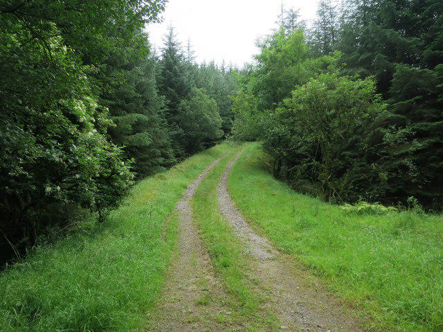 Photo could not load
SD3496 : Track up to the mast
Hugh Venables
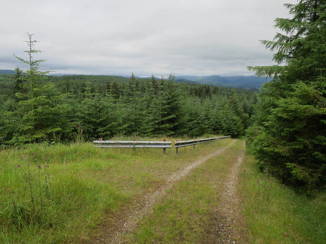 Photo could not load
SD3495 : Track down from the mast
Hugh Venables
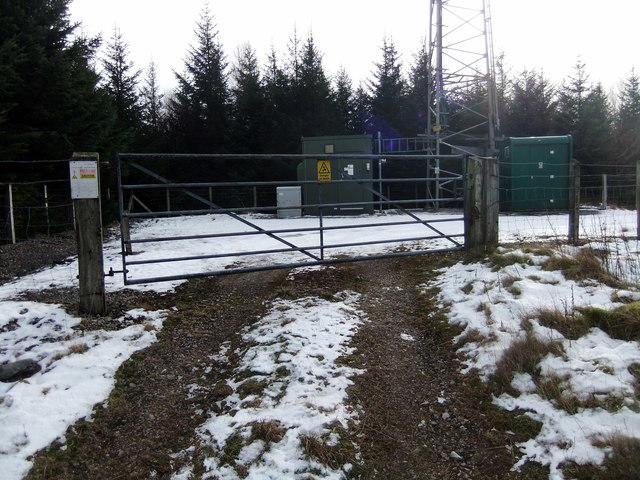 Photo could not load
SD3495 : Hawkshead Hill
David Brown
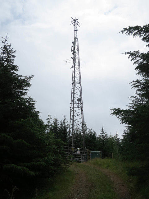 Photo could not load
SD3495 : Mast on Hawkshead Moor
Hugh Venables
Hill facts and local notes
Classifications
Elevation
253m
830 ft
Prominence
47m
Coordinates
54.3548, -3.0133
SD342959
OS Map
96 97
Explorer: OL7N
At the Summit
The summit features a distinctive stone cairn, which is a lovely spot for a picnic—just mind the seagulls; they can be cheeky!
Terrain & Geology
Primarily composed of sedimentary rocks, the moor features layers of limestone and shale, giving the landscape a rugged charm and a chance to find fossils if you know where to look!
Views & Scenery
Stunning views of Windermere and the surrounding fells, with a clear day offering a glimpse of the distant Coniston Old Man.
History & Heritage
Name Origin
The name 'Hawkshead' derives from the Old Norse, likely meaning 'the head or fore-part of a hawk'.
Historical Significance
Hawkshead has been a centre for commerce and culture since medieval times, famous for its connection to Beatrix Potter.
Getting There & Facilities
Parking
There is a small parking area at the Hawkshead village centre, a short walk from the trailhead.
Public Transport
Buses run from Ambleside and Bowness-on-Windermere to Hawkshead, making it easy for public transport users.
Nearby Facilities
Hawkshead offers several cafes, shops, and public toilets, ideal for a pre-hike pick-me-up.
Safety Information
Known Hazards
- Beware of boggy areas, particularly after rain; also, some rocky outcrops can be slippery.
General Safety Tips
- Check weather conditions before setting out
- Carry appropriate clothing and equipment
- Let someone know your planned route
- Take a map, compass, and GPS device
- Carry emergency supplies: food, water, first aid kit, torch
Hills
Some common questions about the hills answered
Are there group walks up Hawkshead Moor?
Many walkers use Walkmates to join or organise walks with others. You can check for group walks around Hawkshead Moor through the maps
Are there other walkers around Hawkshead Moor?
Activity varies by location and time, but Walkmates lets you see whether others have shared walks or shown interest in this area. Find other people through the walking friends search walking friends for Hawkshead Moor search or of course create your own walk for Hawkshead Moor
Can I organise a walk to Hawkshead Moor?
Yes. If there aren’t any walks listed already, you can create a walk and make it available for others to join.
If you're signed up to Walkmates, you can create a walk to Hawkshead Moor.
How do I find a walk up this hill?
There are often multiple ways to walk this hill, depending on experience and route preference. Walkmates helps you explore walks and routes that others have shared.
Can I suggest a new route up Hawkshead Moor?
Yes. You can suggest or create routes to share with others. Walkmates focuses on the social side of walking, so routes are used to help people organise walks and explore areas together, rather than as detailed navigation tools or route libraries.
Other uses really appreciate knowledgeable walkers sharing their routes. Share your favourite route to Hawkshead Moor here
The is an error or something incorrect about this hill. How do I let you know?
We always strive to keep the information on Walkmates as accurate as possible. If you find an error, please let us know through the contact form and we'll aim to correct it as quickly as possible
Community Discussion
Comments
Location
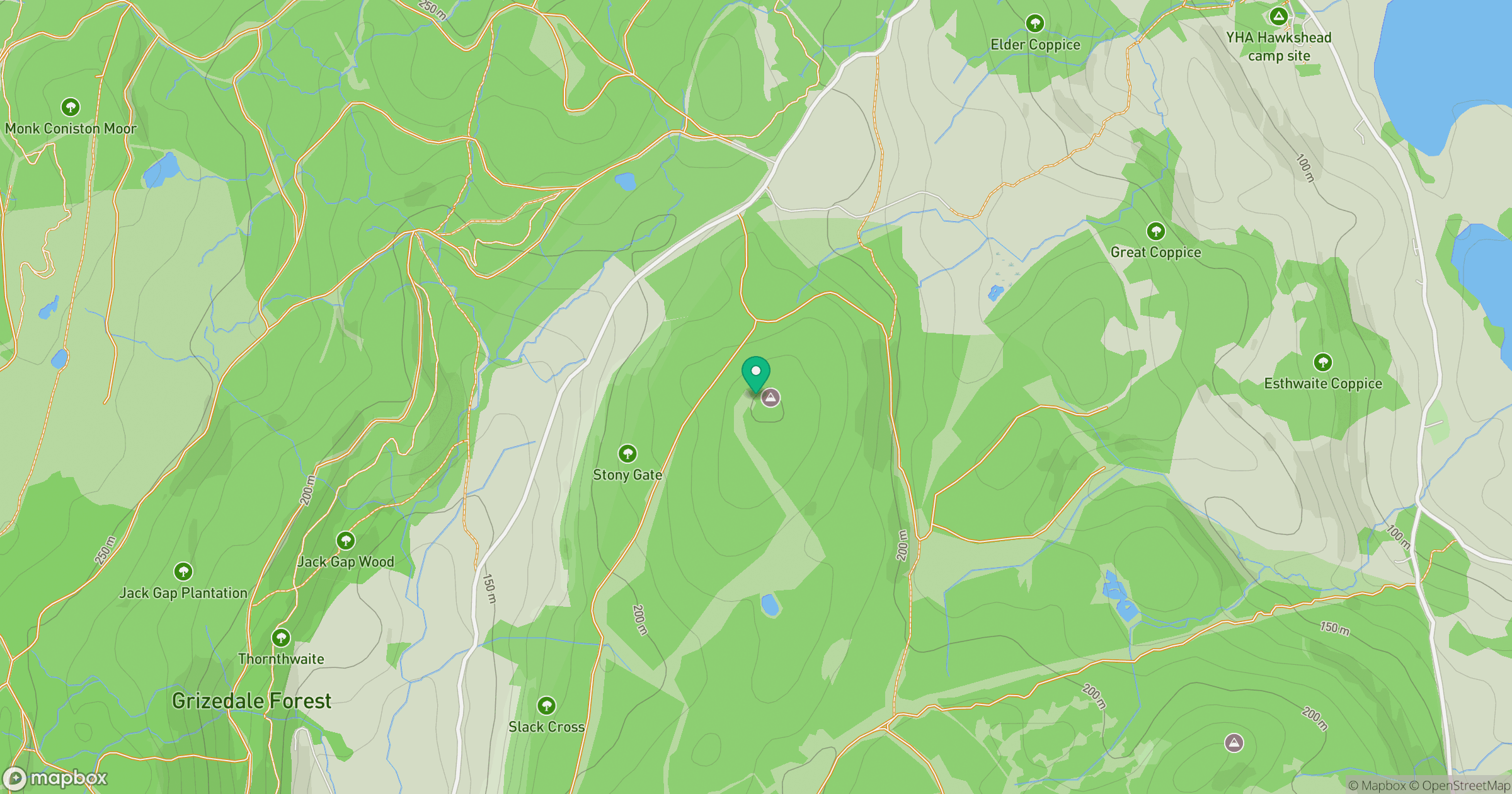
Grid reference: SD342959
View on OpenStreetMapOpens a map in a new tab, centred on the hill.
![The Old Man of Coniston [Coniston Old Man]](https://cdn.walkmates.com/gallery-images/0c140e91269b49abbee339fc41828d25.jpg)
No comments yet. Be the first.