

Great Round How
Good walks are even better shared.
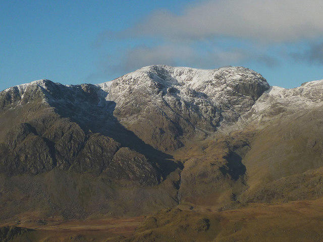
NY2012 : Ruin under Great Round How
Michael Graham Photo source
Overview
Great Round How
Overview
Great Round How stands at a modest 473 metres, yet it offers incredible views over the enchanting landscape of the Lake District. Its circular shape is iconic, making it an easily identifiable landmark for lovers of the outdoors.
Geology
The mountain's unique volcanic rock structure is complemented by surrounding slate and sandstone features. This geological diversity not only makes for a visually appealing trek but also for interesting discussions around geology on the ascent – should you choose to take a geology-loving friend! Just make sure they don't bore you to tears.
Routes
Martindale Route
Starting from the quaint village of Howtown, this route is a delightful 8 km trek taking approximately 3.5 hours. Expect a moderate challenge, but prepare to be rewarded with gorgeous scenery of the rolling hills and nearby fells.
Pooley Bridge Approach
This 10 km path from Pooley Bridge offers a slightly longer adventure, promising stunning lakeside views of Ullswater along the way. Allocate around 4.5 hours for completion.
Summit Features
Upon reaching the top, a stone cairn awaits you, acting as the perfect backdrop for a victory photo. Just be mindful not to trip over it while you pose!
Terrain Type
Be prepared for a lovely mix of grassy hills with rocky outcrops that could challenge your footing. Each step is like a new surprise, so keep your eyes peeled for any sneaky stones that dare to trip you.
Views
From the summit, the panorama includes the splendid Ullswater Lake, the majestic Helvellyn ridge, and a host of other fells that stretch as far as the eye can see. The best times to soak it all in are during spring and autumn, when the skies are typically clear and the colours vibrant. If you fancy dramatic lighting, sunrise or sunset could be just the ticket!
Hazards
As enchanting as the views are, do watch your step on the uneven terrain. The Lake District is notorious for unpredictable weather, so food for thought - always pack a raincoat, unless you’re keen on that soggy biscuit look!
Nearby Summits
Not far off, you’ll also find Place Fell and Hallin Fell, that are perfect for those who wish to extend their hiking experience.
Access
Parking is available at Howtown, but spaces are limited – so, like a good cup of tea, arrive early to get the best spot! If you're relying on public transport, buses run frequently to Pooley Bridge from nearby Penrith, from where a short taxi ride or a happy hike will get you to the trails. The nearest notable town is Penrith, about 11 miles away.
Facilities
After a good day’s hike, you might want to indulge in a slice of cake or a cuppa at local cafes in Pooley Bridge or Howtown. It’s the perfect way to reward your legwork!
History
Great Round How has its roots in Old Norse, with 'How' meaning 'hill'. Its allure has captivated walkers and artists alike, serving as a testament to the natural beauty found within the Lake District. So, as you embark on your trip, remember you’re walking in the footsteps of many a poet and painter!
Enjoy your hike to Great Round How – may your legs be sprightly and your spirit even sprightlier!
Explore routes near Great Round How
Walks starting near this hill. Open a route to check its map, distance and full itinerary.
Scafell Pike from Seathwaite via the Corridor Route
View route
Scafell Pike via Brown Tongue and Hollow Stones
View route
Steeple, Scoat Fell and Haycock from Ennerdale
View route
Bow Fell from Langdale
View route
Route planning notes
These notes describe possible approaches. Check a route's map and access information when planning your walk.
Martindale Route
A picturesque route starting from the village of Howtown, this path meanders up through lush valleys and past quaint farmsteads.
Pooley Bridge Approach
Starting from the charming village of Pooley Bridge, this route is slightly longer but offers stunning views of Ullswater Lake along the way.
Make a day of it, together
Find someone to share the walk with, or organise a day out along a route you like.
Photo Gallery
View all Photo could not load
NY2012 : Ruin under Great Round How
Michael Graham
 Photo could not load
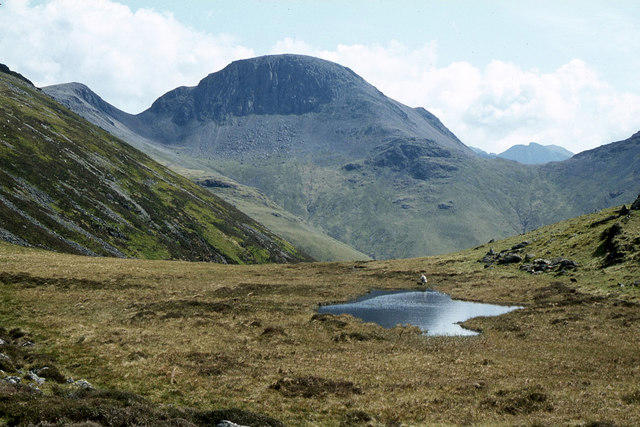
NY2013 : Looking across to Great Round How
David Medcalf
 Photo could not load
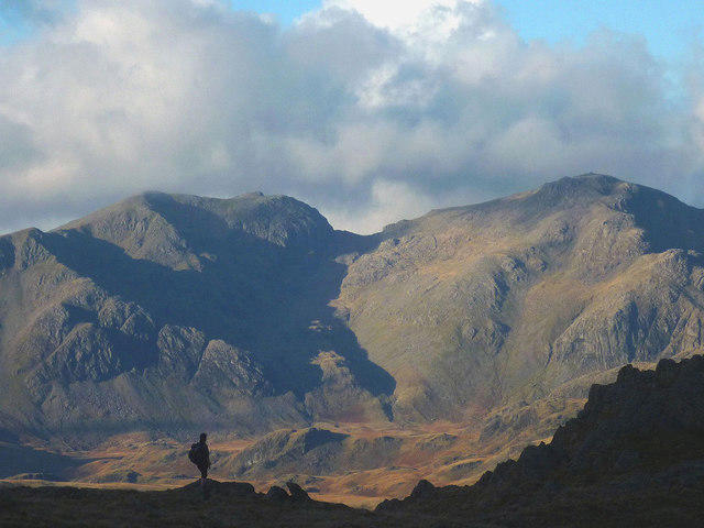
NY2012 : Great Round How
Anthony Parkes
 Photo could not load
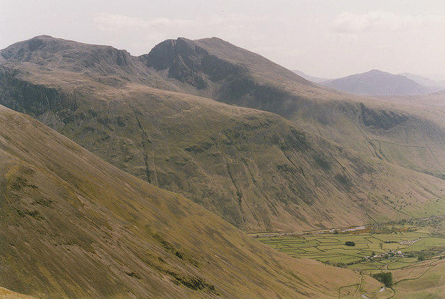
NY2012 : Great Round How
Michael Graham
 Photo could not load
NY2012 : On Great Round How
Michael Graham
Hill facts and local notes
Classifications
Elevation
554m
1,818 ft
Prominence
5m
Coordinates
54.5047, -3.2264
NY206128
OS Map
89 90
Explorer: OL4S
At the Summit
The summit features a large stone cairn and offers space for weary travellers to rest, contemplate, or perhaps have a bit of a sit-down when the legs start to wobble.
Terrain & Geology
The mountain is primarily composed of volcanic rock, giving it a unique ruggedness. The surrounding area features a mix of slate and sandstone, providing an interesting contrast in textures and colours.
Views & Scenery
From the summit, hikers can enjoy breathtaking views of Ullswater Lake, the Helvellyn ridge, and the surrounding fells.
History & Heritage
Name Origin
The name 'How' in Old Norse means 'hill' or 'mound', very fitting for our round friend here.
Historical Significance
Situated in the heart of the Lake District, Great Round How has been a popular destination for both walkers and landscape artists, regularly featured in works highlighting the beauty of the area.
Getting There & Facilities
Parking
Parking is available at Howtown, which is a short walk to the start of the Martindale Route. Limited spaces, so arrive early to avoid disappointment.
Public Transport
The nearest bus stop is in Pooley Bridge, with services running to and from Penrith. A short taxi or a good pair of walking shoes will get you closer.
Nearby Facilities
There are cafes in Pooley Bridge and Howtown, perfect for a refreshing cup of tea or a slice of cake post-hike.
Safety Information
Known Hazards
- Uneven terrain can be challenging, particularly in wet conditions. There’s also a risk of sudden weather changes in the Lake District, so it’s wise to pack a raincoat.
General Safety Tips
- Check weather conditions before setting out
- Carry appropriate clothing and equipment
- Let someone know your planned route
- Take a map, compass, and GPS device
- Carry emergency supplies: food, water, first aid kit, torch
Hills
Some common questions about the hills answered
Are there group walks up Great Round How?
Many walkers use Walkmates to join or organise walks with others. You can check for group walks around Great Round How through the maps
Are there other walkers around Great Round How?
Activity varies by location and time, but Walkmates lets you see whether others have shared walks or shown interest in this area. Find other people through the walking friends search walking friends for Great Round How search or of course create your own walk for Great Round How
Can I organise a walk to Great Round How?
Yes. If there aren’t any walks listed already, you can create a walk and make it available for others to join.
If you're signed up to Walkmates, you can create a walk to Great Round How.
How do I find a walk up this hill?
There are often multiple ways to walk this hill, depending on experience and route preference. Walkmates helps you explore walks and routes that others have shared.
Can I suggest a new route up Great Round How?
Yes. You can suggest or create routes to share with others. Walkmates focuses on the social side of walking, so routes are used to help people organise walks and explore areas together, rather than as detailed navigation tools or route libraries.
Other uses really appreciate knowledgeable walkers sharing their routes. Share your favourite route to Great Round How here
The is an error or something incorrect about this hill. How do I let you know?
We always strive to keep the information on Walkmates as accurate as possible. If you find an error, please let us know through the contact form and we'll aim to correct it as quickly as possible
Community Discussion
Comments
Location
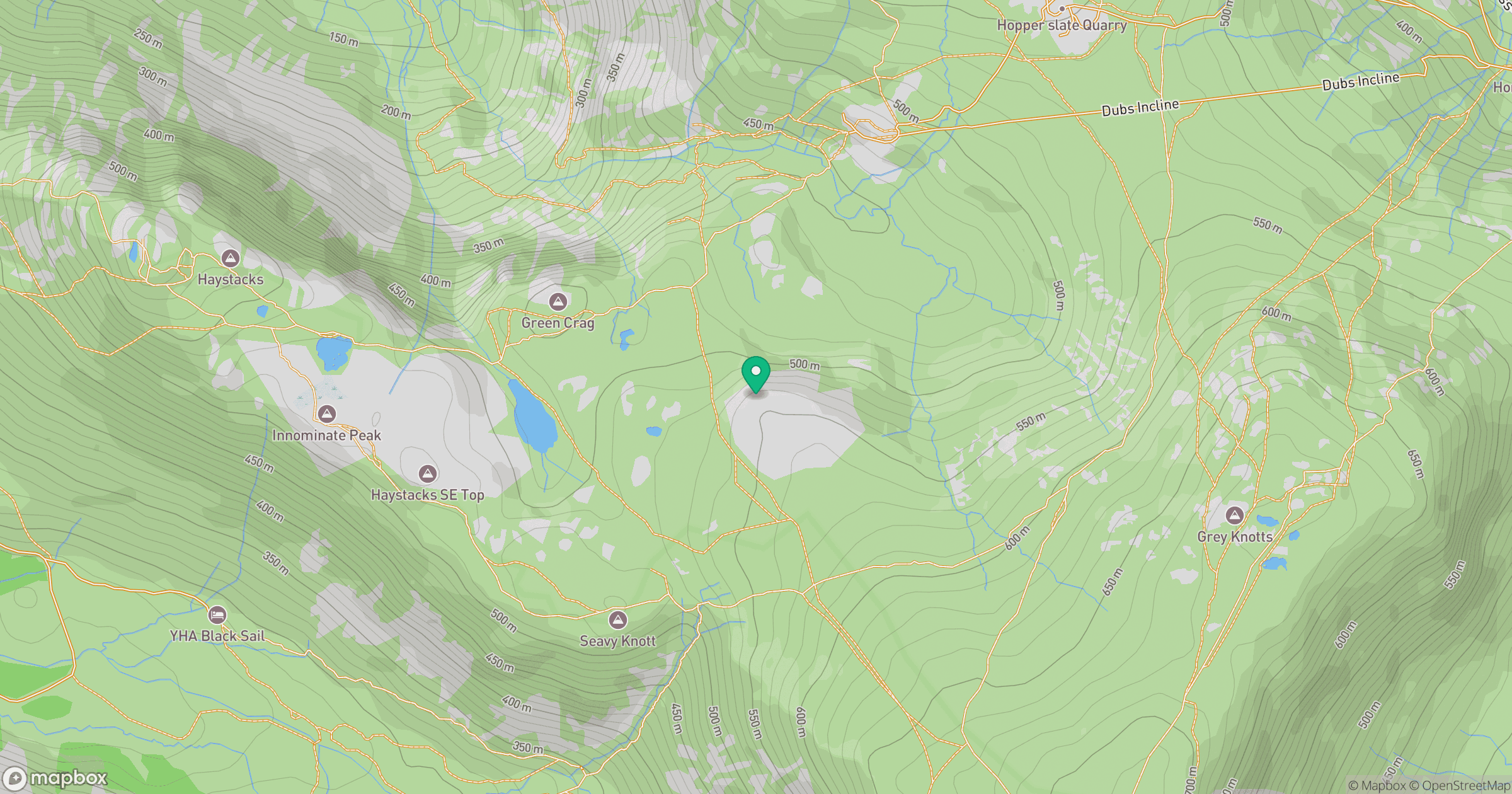
Grid reference: NY206128
View on OpenStreetMapOpens a map in a new tab, centred on the hill.
No comments yet. Be the first.