

Great Calva
Good walks are even better shared.
NY2931 : Cairn, Great Calva
Michael Graham Photo source
Overview
Great Calva
Great Calva is a delightful adventure for those willing to traverse its rugged trails. At an elevation of 590 meters, it may not be the highest in the area, but it packs a punch when it comes to stunning vistas and rich geological history.
Geology
The mountain is primarily composed of volcanic rock, remnants of ancient lava flows that shaped the landscape you see today. Hiking whether on grass or scrambling over rocks brings you face to face with millions of years of geological history.
Routes
- Route from Carrock Fell: A moderate 8km round trip that takes approximately 3.5 hours, winding through vibrant heather and granite outcrops. Prepare for some steep sections!
- Route from The Old Coach Road: An easier path that meanders past gorgeous scenery, covering 6.5km in about 2.5 hours – perfect for beginners or families!
Summit Features
The summit is marked by a lovely cairn. It’s not the biggest or fanciest but offers the perfect excuse to catch your breath and enjoy a snack, perhaps with a cheeky cup of tea from your rucksack!
Terrain
Expect a mixed bag of rugged and grassy terrains, sprinkled with the occasional bog – so wear your best hiking boots.
Views
From the top, you’re treated to breathtaking views of the Southern and Northern Fells, where you’ll get a real sense of your place in this remarkable landscape. Spring and summer are particularly lovely times to visit, when everything is alive and buzzing with colour.
Hazards
As always, stay vigilant for changing weather patterns and slippery conditions, especially when navigating rocky areas. And if you find yourself sinking into a bog, just remember: you can always tell people you were testing your hiking gear!
Access
- Nearest Parking: The Carrock Fell car park is the go-to spot but gets busy on weekends. Plan ahead!
- Public Transport: Services from Keswick are available, making this trail accessible for those without a car.
- Nearest Town: Keswick is just a stone's throw away, where you can stock up on supplies.
Facilities
While there are no facilities on the mountain itself, the bustling town of Keswick has plenty to offer – whether it’s a hearty meal or a full-blown coffee binge.
History
Great Calva’s name echoes tales of the past, derived from ancient tongues meaning 'bald' or 'bare', hinting at its less vegetated peak. And let’s face it, the sight from the top speaks volumes about the culture and allure of the Lake District.
In conclusion, Great Calva may be more tourist-friendly than its more distant relatives, but it’s full of adventure and beauty. Get your walking boots on and discover its charms!
Explore routes near Great Calva
Walks starting near this hill. Open a route to check its map, distance and full itinerary.
Mungrisdale Common and Bowscale Fell from Mosedale Valley Wainwright
View route
Brae Fell from Longlands Wainwright
View route
Binsey from Binsey Lodge Direct Out and Back Wainwright
View route
Bannerdale Crags from Mungrisdale Wainwright
View route
Route planning notes
These notes describe possible approaches. Check a route's map and access information when planning your walk.
Route from Carrock Fell
A scenic hike that offers both a challenge and spectacular views, starting from the Carrock Fell car park. The route winds through heather moorland and includes some striking rocky outcrops.
Route from The Old Coach Road
An easier approach suitable for families, taking you past beautiful landscapes and offering ample picnic spots along the way.
Make a day of it, together
Find someone to share the walk with, or organise a day out along a route you like.
Photo Gallery
View all Photo could not load
NY2931 : Cairn, Great Calva
Michael Graham
 Photo could not load
NY2931 : Descanding Great calva
Michael Graham
 Photo could not load
NY2931 : Great Calva
Shaun Ferguson
 Photo could not load
NY2931 : Great Calva from Blencathra
Jim Barton
 Photo could not load
NY2931 : View North West ...
Mick Garratt
 Photo could not load
NY2931 : Rocks and cairn on Great Calva
Trevor Littlewood
 Photo could not load
NY2931 : Wood and wire fence
Stephen Middlemiss
 Photo could not load
NY2931 : On Great Calva
Michael Graham
 Photo could not load
NY2931 : The summit of Great Calva
Bill Boaden

NY2931 : Summit Cairn, Great Calva
Michael Graham
Hill facts and local notes
Classifications
Elevation
691m
2,267 ft
Prominence
142m
Coordinates
54.6708, -3.1011
NY290311
OS Map
89 90
Explorer: OL4N
At the Summit
At the summit, you'll find a modest cairn constructed from local stones, which serves as a perfect spot for a well-deserved snack while soaking in the views. No trig point here, but it’s a stunning vista that more than makes up for it!
Terrain & Geology
Great Calva primarily features volcanic rock formations from a bygone era, making it a geologist's playground for studying ancient lava flows and sedimentary layers. The landscape here tells the tale of geological activity from millions of years ago.
Views & Scenery
From the summit, enjoy sweeping views of the Northern Fells, including the impressive Skiddaw and Blencathra. On a clear day, the Solway Firth and even the hills of Scotland can also be spotted.
History & Heritage
Name Origin
The name 'Calva' is believed to derive from the Old Norse word meaning 'bald' or 'bare', which quite accurately describes parts of its summit on a clear day.
Historical Significance
Great Calva is a prominent feature in the Lake District landscape and offers an insight into the area's volcanic past, plus it draws those seeking both solace and adventure away from the crowds.
Getting There & Facilities
Parking
There is a small car park at Carrock Fell, which can accommodate a fair number of vehicles but tends to fill quickly on weekends. Alternatively, park at Threlkeld and walk along the old coach road to access hikers' routes.
Public Transport
The nearest bus service is from Keswick, allowing for a reasonable starting point. Check local listings for current schedules.
Nearby Facilities
While there are no facilities directly on the mountain, Keswick offers a range of cafes and restaurants. Public toilets can be found in the town centre.
Safety Information
Known Hazards
- Beware of sudden weather changes that can make the terrain slippery. As with any mountain hike, rocky sections can be tricky, especially when wet. Also, watch out for the occasional bog – your boots will thank you!
General Safety Tips
- Check weather conditions before setting out
- Carry appropriate clothing and equipment
- Let someone know your planned route
- Take a map, compass, and GPS device
- Carry emergency supplies: food, water, first aid kit, torch
Hills
Some common questions about the hills answered
Are there group walks up Great Calva?
Many walkers use Walkmates to join or organise walks with others. You can check for group walks around Great Calva through the maps
Are there other walkers around Great Calva?
Activity varies by location and time, but Walkmates lets you see whether others have shared walks or shown interest in this area. Find other people through the walking friends search walking friends for Great Calva search or of course create your own walk for Great Calva
Can I organise a walk to Great Calva?
Yes. If there aren’t any walks listed already, you can create a walk and make it available for others to join.
If you're signed up to Walkmates, you can create a walk to Great Calva.
How do I find a walk up this hill?
There are often multiple ways to walk this hill, depending on experience and route preference. Walkmates helps you explore walks and routes that others have shared.
Can I suggest a new route up Great Calva?
Yes. You can suggest or create routes to share with others. Walkmates focuses on the social side of walking, so routes are used to help people organise walks and explore areas together, rather than as detailed navigation tools or route libraries.
Other uses really appreciate knowledgeable walkers sharing their routes. Share your favourite route to Great Calva here
The is an error or something incorrect about this hill. How do I let you know?
We always strive to keep the information on Walkmates as accurate as possible. If you find an error, please let us know through the contact form and we'll aim to correct it as quickly as possible
Community Discussion
Comments
Location
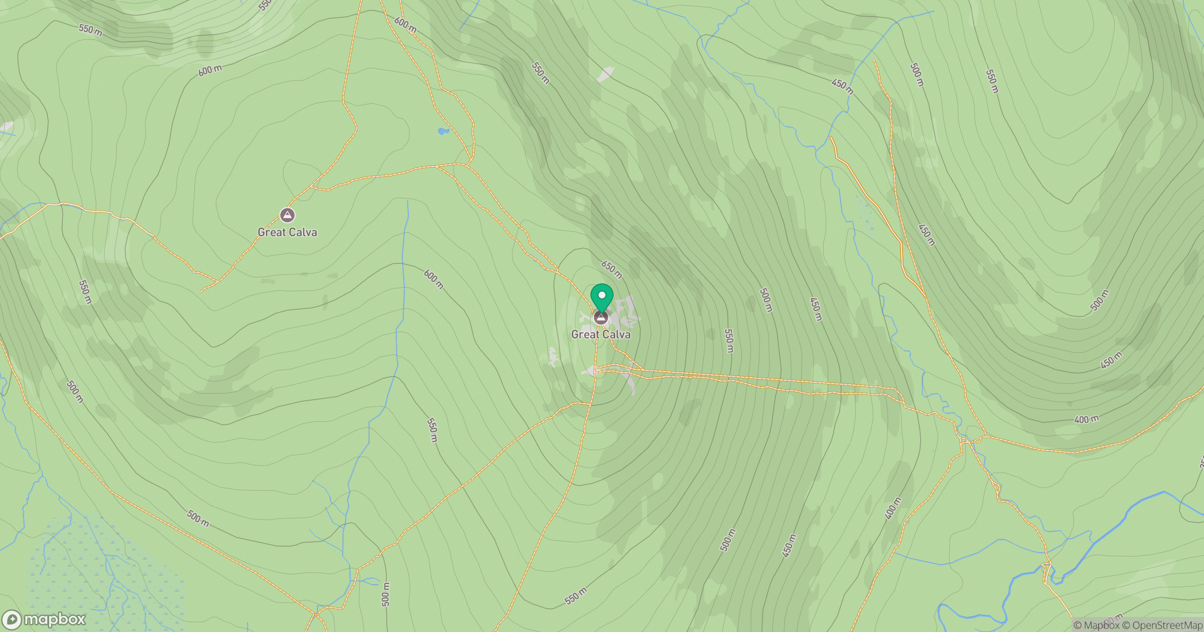
Grid reference: NY290311
View on OpenStreetMapOpens a map in a new tab, centred on the hill.
Nearby Hills
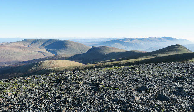
Skiddaw
930m
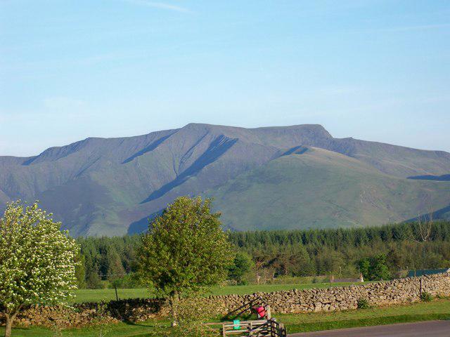
Blencathra - Hallsfell Top
868m
Grisedale Pike
790m
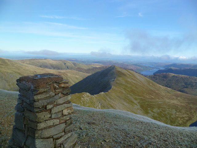
Helvellyn
950m
Crag Hill [Eel Crag]
839m
No comments yet. Be the first.