

Glenearn Hill
Good walks are even better shared.
NO1015 : Glenearn Hill
Richard Webb Photo source
Overview
Glenearn Hill: A Hiker's Delight
Nestled in the stunning Central Scotland region, Glenearn Hill stands at an elevation of 204 meters, making it a Marilyn known for more than just its height. While it may not compete with the towering Munros, it offers hikers a delightful array of experiences.
Geology
Glenearn Hill is primarily composed of ancient volcanic rock, bearing witness to geological activity that took place eons ago. The layers of rock create striking features that are both beautiful and educational. As you step lightly across the terrain, don't be surprised if you find an interesting rock specimen or two!
Routes
There are two main routes leading up to the summit, each catering to different abilities:
- Glenearn Glen Route: Perfect for families and leisurely walkers, this easy route provides scenic views along a gentle ascent.
- Balquhidder Route: More direct and slightly challenging, ideal for those who enjoy a brisk hike.
Summit Features
At the summit, you'll find a charming stone cairn marking the highest point. Take a moment here to bask in the 360-degree panoramas—perfect for a picnic, even if your sandwich falls apart in the wind.
Terrain
Expect a mixed terrain of grassy slopes, rocky outcrops, and occasional boggy patches. Waterproof footwear is a good call, especially after the good old Scottish rain.
Views
The views from Glenearn Hill are nothing short of breathtaking. Look out over Loch Earn, the Trossachs, and on a clear day, you'll even spot the Highlands in the distance.
Hazards
Keep an eye out for slick, boggy areas and rocky outcrops. Remember, an unexpected slip can lead to an unexpected visit to the doctor!
Nearby Summits
If you’re looking to extend your adventure, consider adding a trek to nearby summits such as Ben Vorlich and Stuc a' Chroin.
Access
Parking is available at the base of Glenearn Glen, but it's limited—arrive early for a spot! For public transport users, local buses can take you part-way, but be prepared for a bit of a walk.
Facilities
Cafés and toilets are just a short drive away in Crieff—a perfect pit stop after your hike!
History
The name Glenearn means 'glen of the fresh water' in Gaelic, and this area has been significant for the local clans throughout history.
Conclusion
Glenearn Hill is the quintessential Scottish hill walk—accessible, picturesque, and filled with history. Whether you're a seasoned hiker or a family looking to escape the everyday, this little gem is sure to delight. Remember, it's all about enjoying the journey, so take your time and soak it all in!
Explore routes near Glenearn Hill
Walks starting near this hill. Open a route to check its map, distance and full itinerary.
Club outing: Crianlarich and West Highland Way (coach departure)
View route
Club outing: Glen Ogle and Killin (coach departure)
View route
Loch Leven: Kinross Pier to RSPB Loch Leven Heritage Trail
View route
Crieff: Lady Mary's Walk and the River Earn
View route
Route planning notes
These notes describe possible approaches. Check a route's map and access information when planning your walk.
Glenearn Glen Route
This route offers a gentle ascent through a scenic glen, providing a mix of woodland and open space. It's perfect for families and those looking to take in the sights at a leisurely pace.
Balquhidder Route
A more direct route that leads from Balquhidder, featuring well-marked paths and some steep sections for a bit of a workout. Ideal for those seeking a little more of a challenge.
Make a day of it, together
Find someone to share the walk with, or organise a day out along a route you like.
Photo Gallery
View all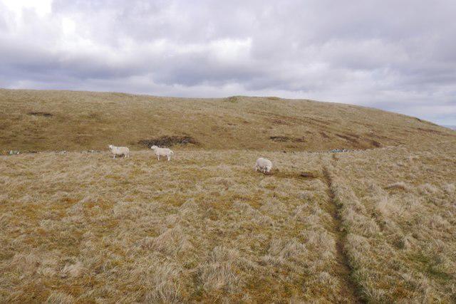 Photo could not load
NO1015 : Glenearn Hill
Richard Webb
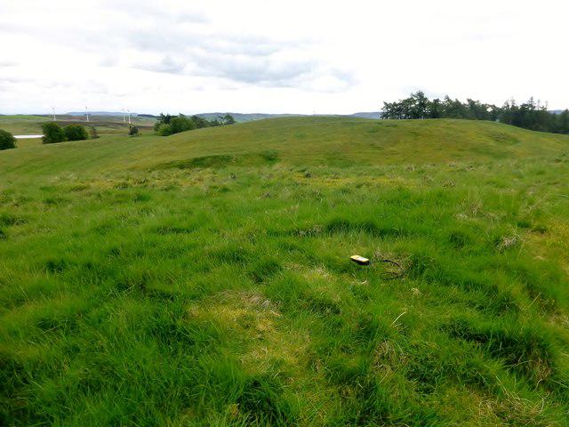 Photo could not load
NO1015 : Glenearn Hill
Rude Health
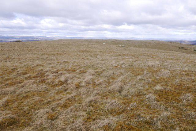 Photo could not load
NO1015 : Glenearn Hill
Richard Webb
Hill facts and local notes
Classifications
Elevation
297m
975 ft
Prominence
40m
Coordinates
56.3211, -3.4471
NO105152
OS Map
58
Explorer: 369
At the Summit
The summit features a small stone cairn and stunning panoramic views, ideal for a well-deserved rest and to snap a few photos. Don't forget to wave to the locals in the valley below!
Terrain & Geology
The hill is primarily composed of volcanic rock, with stunning layered formations that tell tales of ancient geological activity. The exposed cliffs provide a unique environment for various plant species, making it a fantastic site for biodiversity.
Views & Scenery
From the summit, you can see the rolling hills of the Trossachs, Loch Earn, and on a clear day, even the peaks of the Scottish Highlands. A true feast for the eyes!
History & Heritage
Name Origin
The name 'Glenearn' is derived from Gaelic, meaning 'glen of the fresh water'—a nod to the numerous streams that wind through the area.
Historical Significance
Glenearn Hill holds local cultural significance, having been a gathering spot for the ancient clans of the region.
Getting There & Facilities
Parking
There's a small parking area at the foot of Glenearn Glen, accommodating a handful of cars. Arrive early to secure a spot!
Public Transport
Buses from nearby towns such as Comrie and Dunblane can get you close, but a bit of a hike will be necessary from the bus stop.
Nearby Facilities
While there are no facilities on the hill itself, the nearest cafés and toilets can be found in Crieff. A nice cuppa post-hike is always worthwhile.
Safety Information
Known Hazards
- Boggy sections can be slippery, especially after rain. Be cautious on the rocky outcrops as they may be loose.
General Safety Tips
- Check weather conditions before setting out
- Carry appropriate clothing and equipment
- Let someone know your planned route
- Take a map, compass, and GPS device
- Carry emergency supplies: food, water, first aid kit, torch
Hills
Some common questions about the hills answered
Are there group walks up Glenearn Hill?
Many walkers use Walkmates to join or organise walks with others. You can check for group walks around Glenearn Hill through the maps
Are there other walkers around Glenearn Hill?
Activity varies by location and time, but Walkmates lets you see whether others have shared walks or shown interest in this area. Find other people through the walking friends search walking friends for Glenearn Hill search or of course create your own walk for Glenearn Hill
Can I organise a walk to Glenearn Hill?
Yes. If there aren’t any walks listed already, you can create a walk and make it available for others to join.
If you're signed up to Walkmates, you can create a walk to Glenearn Hill.
How do I find a walk up this hill?
There are often multiple ways to walk this hill, depending on experience and route preference. Walkmates helps you explore walks and routes that others have shared.
Can I suggest a new route up Glenearn Hill?
Yes. You can suggest or create routes to share with others. Walkmates focuses on the social side of walking, so routes are used to help people organise walks and explore areas together, rather than as detailed navigation tools or route libraries.
Other uses really appreciate knowledgeable walkers sharing their routes. Share your favourite route to Glenearn Hill here
The is an error or something incorrect about this hill. How do I let you know?
We always strive to keep the information on Walkmates as accurate as possible. If you find an error, please let us know through the contact form and we'll aim to correct it as quickly as possible
Community Discussion
Comments
Location
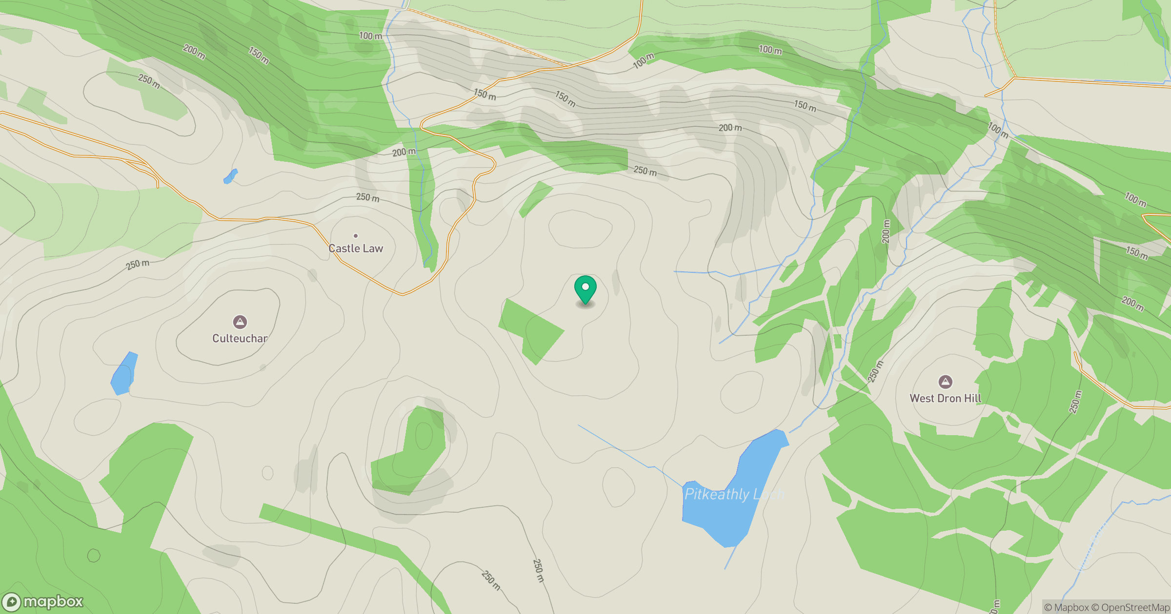
Grid reference: NO105152
View on OpenStreetMapOpens a map in a new tab, centred on the hill.

No comments yet. Be the first.