

Dodd (Skiddaw)
Good walks are even better shared.
NY2427 : Descending Dodd
Michael Graham Photo source
Overview
Dodd (Skiddaw) is a 502 m Wainwright above Bassenthwaite Lake in the Northern Fells. Forest tracks and paths climb from Dodd Wood to an open summit near a slate memorial. The green-waymarked summit circuit is steep; Forestry England grades it Hard. Views take in Bassenthwaite Lake, Derwentwater and, in clear weather, the Solway coast.
Dodd (Skiddaw)
Dodd is the 502 m Wainwright above Bassenthwaite Lake in the Skiddaw group of the Northern Fells. Its wooded slopes rise to an open viewpoint. The highest ground is 2 m northeast of the slate memorial; the monument is not a trig pillar.
Walking from Dodd Wood
Start at Dodd Wood car park beside the A591, opposite Mirehouse. Follow the green-waymarked Dodd Summit trail through the forest, taking the summit spur and retracing it to rejoin the circular trail. Forestry England grades the walk Hard. Expect sustained climbing on tracks and paths that can be steep, narrow and uneven.
Forestry England's trail webpage lists 4.5 km, while its linked August 2023 map labels the green circuit 6.5 km. Check the current on-site map and allow for the longer circuit when planning your day.
Summit and surroundings
Views extend over Bassenthwaite Lake and Derwentwater, with the Solway coast and southwest Scotland visible in clear weather. Nearby summits include Carl Side (746.8 m), Long Side (734 m), Ullock Pike (690.4 m) and Skiddaw (930.4 m). Continuing onto those fells is a separate mountain outing.
The bedrock is mainly Ordovician Kirk Stile Formation siltstone and mudstone, part of the Skiddaw Group. Dodd Wood's plantation history dates to the late 1920s, after land was leased from the Mirehouse Estate in 1924.
Access and care
Dodd Wood has paid parking, toilets and the Old Sawmill Tearoom. Check the cafe's hours before relying on it. Stagecoach's summer 2026 guide lists X4, 553 and 554 for Dodd Wood; check current times and the return journey, particularly after the guide's 1 November end date. Take care crossing the A591.
Forestry England does not recommend the trails for wheelchairs or all-terrain mobility scooters. Wet or icy paths and wind on the open summit need care. Follow forestry closures and diversions, keep dogs under control, and do not light fires, barbecues or stoves in the forest.
Explore routes near Dodd (Skiddaw)
Walks starting near this hill. Open a route to check its map, distance and full itinerary.
Whinlatter dark skies walk
View route
Whinlatter dark skies walk
View route
Binsey from Binsey Lodge Direct Out and Back Wainwright
View route
Brae Fell from Longlands Wainwright
View route
Route planning notes
These notes describe possible approaches. Check a route's map and access information when planning your walk.
Dodd Summit trail from Dodd Wood
From Dodd Wood car park, follow the green-waymarked circular trail through the forest, with an out-and-back spur to the open summit. Forestry England's trail webpage lists 4.5 km, but its linked August 2023 map gives 6.5 km. Check the on-site map and plan for the longer circuit. The tracks and paths are steep, narrow and uneven in places.
A591 access to the Dodd Summit trail
Use the Dodd Wood car park entrance off the A591 opposite Mirehouse, then join the green-waymarked Dodd Summit trail. This is access to the same summit circuit, rather than a separate short ascent. Take care at road crossings and follow the signed forest route.
Make a day of it, together
Find someone to share the walk with, or organise a day out along a route you like.
Photo Gallery
View all Photo could not load
NY2427 : Descending Dodd
Michael Graham
 Photo could not load
NY2427 : On Dodd
Michael Graham
 Photo could not load
NY2427 : From Dodd
Michael Graham
 Photo could not load
NY2427 : From Dodd
Michael Graham
 Photo could not load
NY2427 : Descending Dodd
Michael Graham
 Photo could not load
NY2427 : On Dodd
Michael Graham
 Photo could not load
NY2427 : View from Dodd towards Derwent Foot
Anthony Foster
 Photo could not load
NY2427 : Descending Dodd
Michael Graham
 Photo could not load
NY2427 : Slug on a Thistle
Michael Graham

NY2427 : Dodd Summit
Shaun Ferguson
Hill facts and local notes
Classifications
Elevation
502m
1,647 ft
Prominence
110m
Coordinates
54.6356, -3.1721
NY244273
OS Map
89 90
Explorer: OL4S
At the Summit
Highest ground 2 m northeast of a slate memorial monument. The monument is not a trig pillar.
Terrain & Geology
Dodd is mainly underlain by laminated siltstone with subordinate mudstone of the Ordovician Kirk Stile Formation, part of the Skiddaw Group. These rocks are folded into a syncline near the summit.
Views & Scenery
Views over Bassenthwaite Lake and Derwentwater, with the Solway coast and the hills of Dumfries and Galloway visible in clear weather.
History & Heritage
Name Origin
Dodd is a dialect term for a rounded hilltop, often a subsidiary summit or shoulder of a higher fell.
Historical Significance
Most of Dodd Wood was leased from the Mirehouse Estate in 1924. Planting began in the late 1920s and the present afforested area was established by the early 1960s.
Getting There & Facilities
Parking
Dodd Wood car park, off the A591 opposite Mirehouse, CA12 4QE. Paid ANPR parking operates on a pay-on-exit basis. No camping or overnight stays are allowed.
Public Transport
Stagecoach's summer 2026 guide lists X4, 553 and 554 for Dodd Wood. Buses stop on the A591 near the forest entrance. Check the current timetable and return journey, especially after the guide ends on 1 November 2026. Take care crossing the road.
Nearby Facilities
Toilets, including an accessible toilet, and the Old Sawmill Tearoom are beside Dodd Wood car park. Check the cafe's opening hours. There is no visitor centre.
Safety Information
Known Hazards
- Steep, narrow and uneven paths can be slippery when wet or icy; the open summit is exposed to wind and mist.
- Follow forestry closure and diversion signs, keep dogs under control, and never light fires, barbecues or stoves in the forest.
- Take care crossing the A591 between bus stops, Dodd Wood and Mirehouse.
General Safety Tips
- Check weather conditions before setting out
- Carry appropriate clothing and equipment
- Let someone know your planned route
- Take a map, compass, and GPS device
- Carry emergency supplies: food, water, first aid kit, torch
Hills
Some common questions about the hills answered
Are there group walks up Dodd (Skiddaw)?
Many walkers use Walkmates to join or organise walks with others. You can check for group walks around Dodd (Skiddaw) through the maps
Are there other walkers around Dodd (Skiddaw)?
Activity varies by location and time, but Walkmates lets you see whether others have shared walks or shown interest in this area. Find other people through the walking friends search walking friends for Dodd (Skiddaw) search or of course create your own walk for Dodd (Skiddaw)
Can I organise a walk to Dodd (Skiddaw)?
Yes. If there aren’t any walks listed already, you can create a walk and make it available for others to join.
If you're signed up to Walkmates, you can create a walk to Dodd (Skiddaw).
How do I find a walk up this hill?
There are often multiple ways to walk this hill, depending on experience and route preference. Walkmates helps you explore walks and routes that others have shared.
Can I suggest a new route up Dodd (Skiddaw)?
Yes. You can suggest or create routes to share with others. Walkmates focuses on the social side of walking, so routes are used to help people organise walks and explore areas together, rather than as detailed navigation tools or route libraries.
Other uses really appreciate knowledgeable walkers sharing their routes. Share your favourite route to Dodd (Skiddaw) here
The is an error or something incorrect about this hill. How do I let you know?
We always strive to keep the information on Walkmates as accurate as possible. If you find an error, please let us know through the contact form and we'll aim to correct it as quickly as possible
Community Discussion
Comments
Location
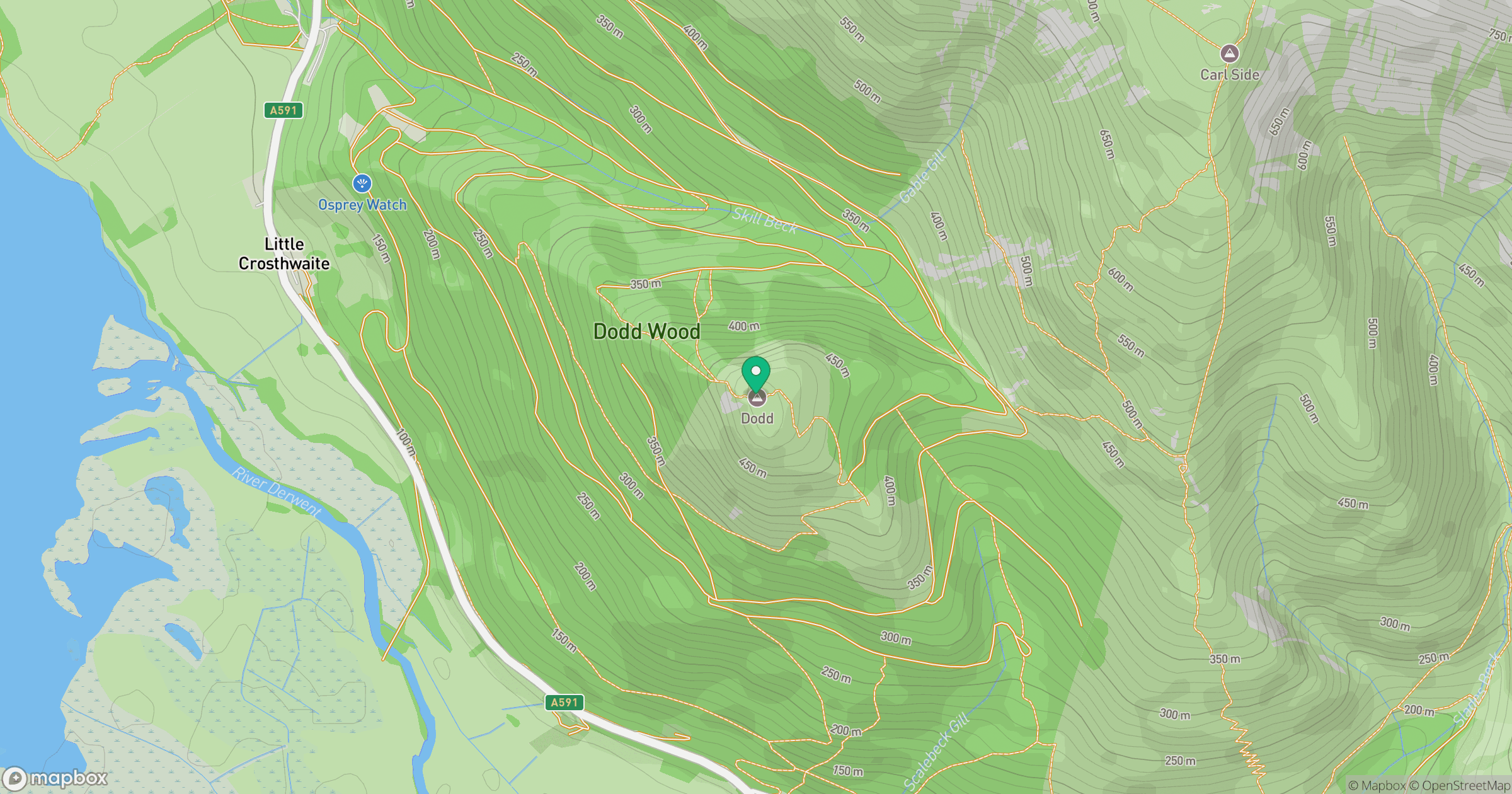
Grid reference: NY244273
View on OpenStreetMapOpens a map in a new tab, centred on the hill.
Nearby Hills
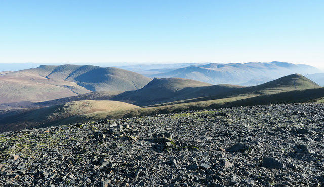
Skiddaw
930m
Grisedale Pike
790m
Crag Hill [Eel Crag]
839m
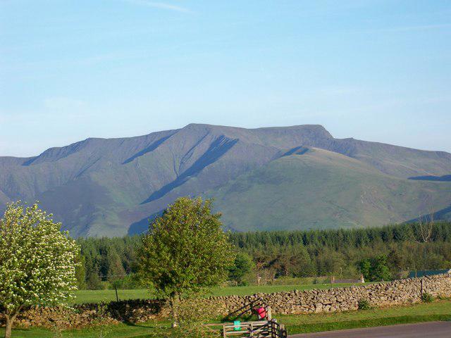
Blencathra - Hallsfell Top
868m
Grasmoor
852m
No comments yet. Be the first.