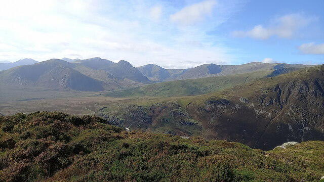
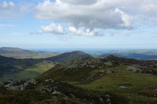
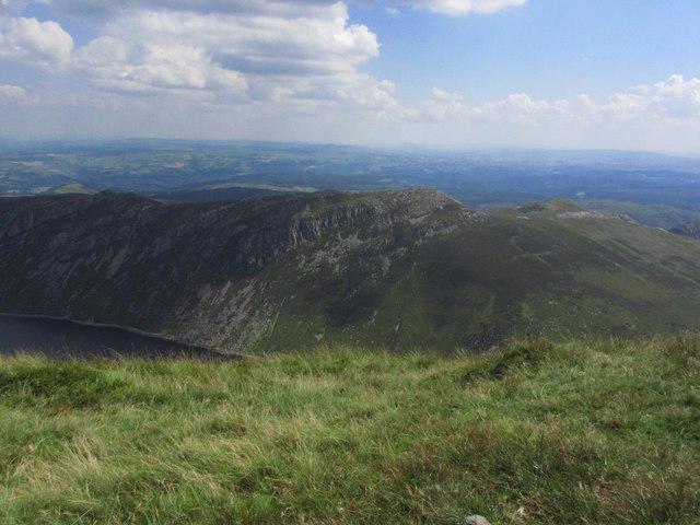
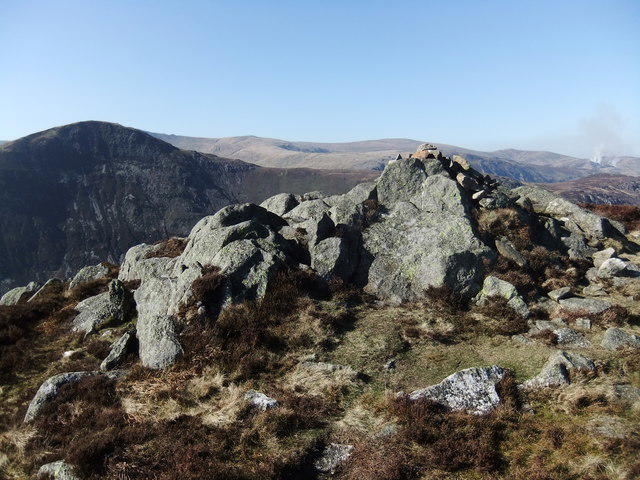
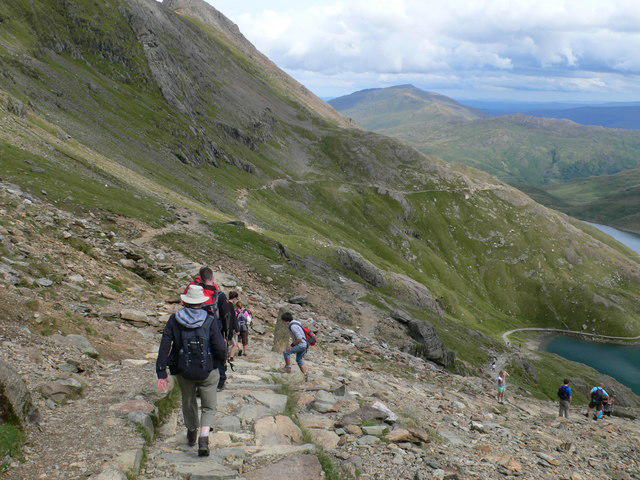
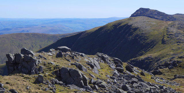
Creigiau Gleision

Creigiau Gleision

Creigiau Gleision Group Walks | Join a Walk

676m Elevation
261m Prominence
Wales Country

Join group walks, find walking companions and friends, or organise your own!

Classifications

Marilyn Sim Hewitt Nuttall

Looking for walking companions?

Don't walk alone! Find friendly walkers to explore Creigiau Gleision together. Join scheduled group walks or start your own.

Elevation

676m

2,218 ft

Prominence

261m

Coordinates

53.1358, -3.9014

SH729615

OS Map

115

Explorer: OL17E

At the Summit

The summit features a stone cairn and a small trig point that adds to the charm of the peak, perfect for that all-important selfie.

Terrain & Geology

Rocky and uneven with some grassy patches; be sure to watch your step!

Creigiau Gleision is primarily composed of volcanic rock, which contributes to its rugged terrain and dramatic cliffs. The geology reveals the ancient volcanic activity that shaped this stunning landscape.

Views & Scenery

From the summit, you can see Pen y Fan, the highest peak in South Wales, and the expansive valleys that make up the breathtaking Brecon Beacons.

History & Heritage

Name Origin

The name 'Creigiau Gleision' translates to 'the black crags', which aptly describes the dramatic rocky features of the mountain.

Historical Significance

This mountain has historically been a local landmark, steeped in folklore and legends, making it a significant site for both hikers and historians alike.

Popular Routes

Griffin's Trail

Moderate

A scenic path that winds through lush valleys and climbs steadily to the summit, offering panoramic views of the surrounding hills.

8.5 km 4 hours

Waterfall Path

Moderate

This route meanders past delightful waterfalls before ascending to the summit, providing a treat for the senses.

7 km 3.5 hours

Getting There & Facilities

Parking

There is a small car park at the start of the Griffin's Trail near the village of Talybont-on-Usk, providing easy access to the trails.

Public Transport

Frequent bus services run from Brecon to Talybont-on-Usk. For those coming from further afield, the nearest train station is in Merthyr Tydfil, about 14 miles away.

Nearby Facilities

Basic facilities are available in Talybont-on-Usk, including a café and public toilets; ideal for a pre-hike cuppa!

Safety Information

Known Hazards

  • Watch out for loose stones and sudden weather changes; one moment you could be admiring the view, and the next, you're in a fog!

General Safety Tips

  • Check weather conditions before setting out
  • Carry appropriate clothing and equipment
  • Let someone know your planned route
  • Take a map, compass, and GPS device
  • Carry emergency supplies: food, water, first aid kit, torch

Find Walking Companions

Join friendly walkers exploring Creigiau Gleision and surrounding area

Can't find a walk? Organise your own!

Create a walk and let others join you. It's free and easy!

Hills

Some common questions about the hills answered

Are there group walks up Creigiau Gleision?

Many walkers use Walkmates to join or organise walks with others. You can check for group walks around Creigiau Gleision through the maps

Are there other walkers around Creigiau Gleision?

Activity varies by location and time, but Walkmates lets you see whether others have shared walks or shown interest in this area. Find other people through the walking friends search walking friends for Creigiau Gleision search or of course create your own walk for Creigiau Gleision

Can I organise a walk to Creigiau Gleision?

Yes. If there aren’t any walks listed already, you can create a walk and make it available for others to join.

If you're signed up to Walkmates, you can create a walk to Creigiau Gleision.

How do I find a walk up this hill?

There are often multiple ways to walk this hill, depending on experience and route preference. Walkmates helps you explore walks and routes that others have shared.

Can I suggest a new route up Creigiau Gleision?

Yes. You can suggest or create routes to share with others. Walkmates focuses on the social side of walking, so routes are used to help people organise walks and explore areas together, rather than as detailed navigation tools or route libraries.

Other uses really appreciate knowledgeable walkers sharing their routes. Share your favourite route to Creigiau Gleision here

The is an error or something incorrect about this hill. How do I let you know?

We always strive to keep the information on Walkmates as accurate as possible. If you find an error, please let us know through the contact form and we'll aim to correct it as quickly as possible