
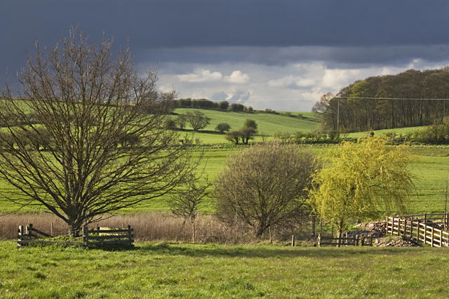
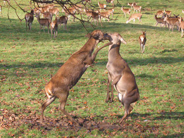
Countryside
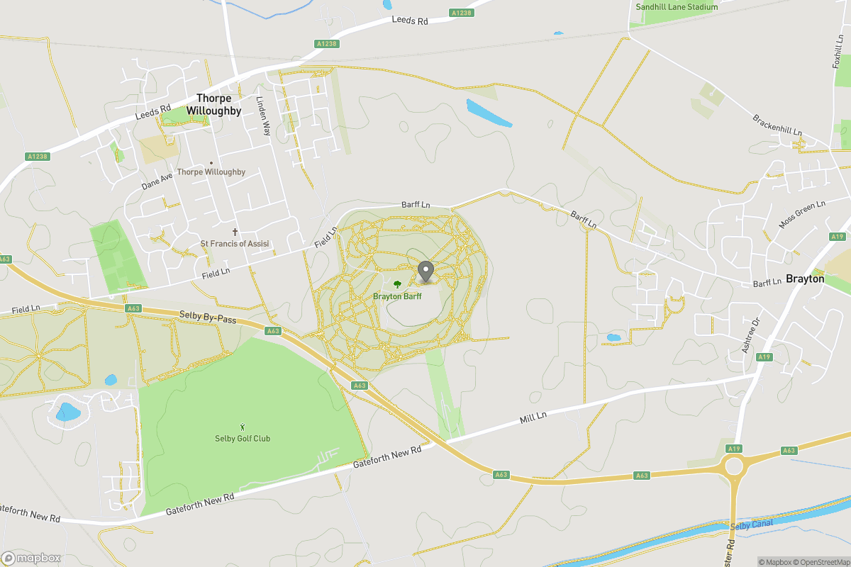
PointToPoint
Easy
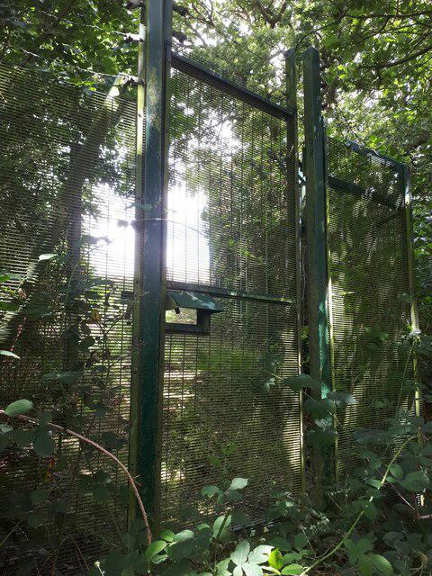
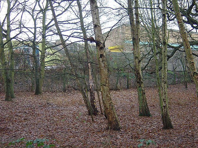
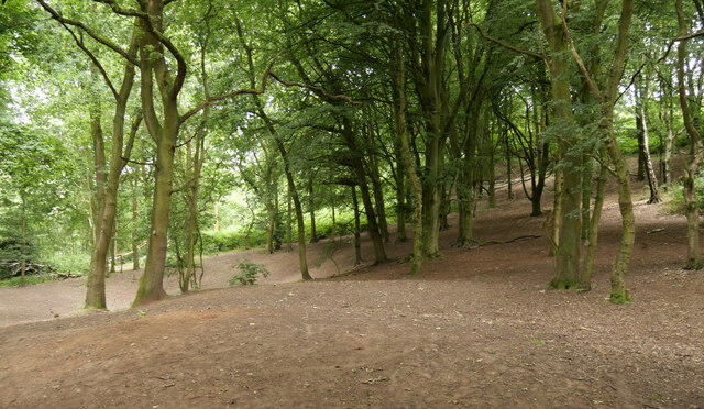
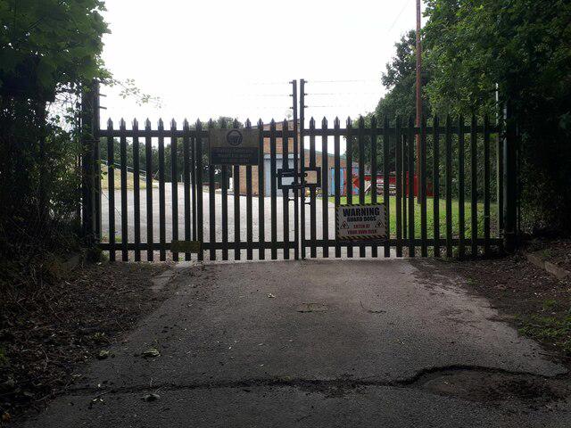
my woods
bbeellee44
Walk organiser

No comments yet. Be the first.