

Brae Fell
Good walks are even better shared.
NY2835 : On Brae Fell
David Brown Photo source
Overview
Brae Fell Overview
Brae Fell, standing proudly at 649 meters, is a delightful mountain tucked away in the heart of the Lake District, offering hikers not just a challenge, but also breathtaking views and a spot of peace away from the hustle and bustle.
Geology
Composed primarily of volcanic ash and tuff, Brae Fell's rugged terrain is a result of ancient geological activity. Don’t panic if you feel slight tremors underfoot; it’s just the mountain having a good stretch!
Getting There
The nearest town, Keswick, serves as an excellent base for exploring. Head to Castlerigg Farm for parking, and from there, you can kick off your adventure with ease. Public transport is reliant on local services but is generally frequent during peak tourist seasons.
Routes
Brae Fell offers a couple of routes for walkers:
- Castlerigg Farm Route: A popular ascent that showcases the valley's beauty and provides a moderate hike suitable for seasoned walkers as well as eager beginners.
- Hollows Route: A gentler trail that meanders through meadows, perfect for a relaxed stroll with a friend or family.
Summit Features
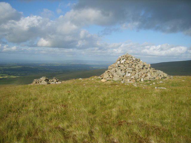
The summit boasts a quaint stone cairn and a trig point, which serve as photographic opportunities. Ensure you capture that 'I've made it!' moment for the family album.
Terrain and Views
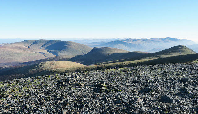
The terrain combines grassy stretches with rocky outcrops, offering variety beneath your feet. The views from the summit are nothing short of spectacular, encompassing the renowned Skiddaw and Blencathra. Don’t forget to appreciate the serene Bassenthwaite Lake; it’s a sight to behold!
Hazards
Be mindful of the Lake District’s capricious weather, which can change in an instant. Loose stones can also catch you off-guard, so keep your head in the clouds and your feet where they should be.
Nearby Attractions
For fellow mountain enthusiasts, nearby summits include Skiddaw and Blencathra, both of which are worth the effort to summit if you’re up for the challenge!
Facilities
Keswick is chock-full of amenities, from delightful cafés to essential public toilets. Grab a bite after your climb and recount your mountain tales.
History
Did you know? The name 'Brae' is derived from Old Norse, meaning 'hill'? It’s as straightforward as it gets; you could say it's a 'hill hill'. The historical context of this region is rich, inspiring artists and writers through the ages.
In conclusion, Brae Fell is a gem within the Lake District that promises adventure, stunning views, and just the right touch of humour in a world that sometimes takes itself a bit too seriously. So lace up those hiking boots, and get ready to make some unforgettable memories!
Explore routes near Brae Fell
Walks starting near this hill. Open a route to check its map, distance and full itinerary.
Brae Fell from Longlands Wainwright
View route
Mungrisdale Common and Bowscale Fell from Mosedale Valley Wainwright
View route
Binsey from Binsey Lodge Direct Out and Back Wainwright
View route
Bannerdale Crags from Mungrisdale Wainwright
View route
Route planning notes
These notes describe possible approaches. Check a route's map and access information when planning your walk.
Castlerigg Farm Route
A popular route starting from Castlerigg Farm, allowing hikers to ascend Brae Fell with stunning views of the surrounding valleys.
Hollows Route
This route takes you through picturesque meadows and offers lovely views of nearby fells.
Make a day of it, together
Find someone to share the walk with, or organise a day out along a route you like.
Photo Gallery
View all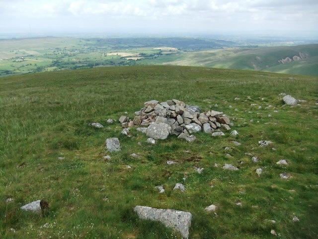 Photo could not load
NY2835 : On Brae Fell
David Brown
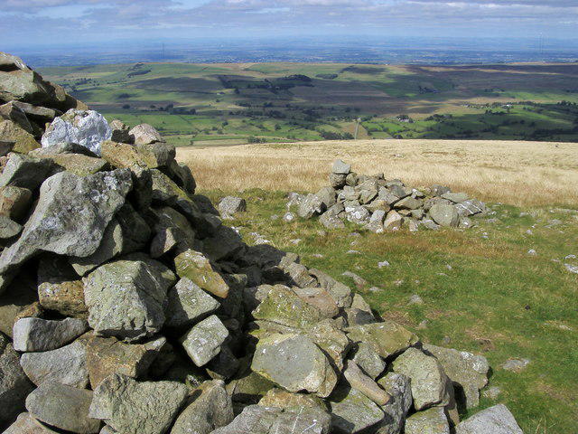 Photo could not load
NY2835 : Brae Fell
Shaun Ferguson
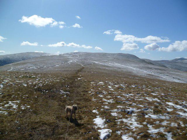 Photo could not load
NY2835 : Leaving Brae Fell
Michael Graham
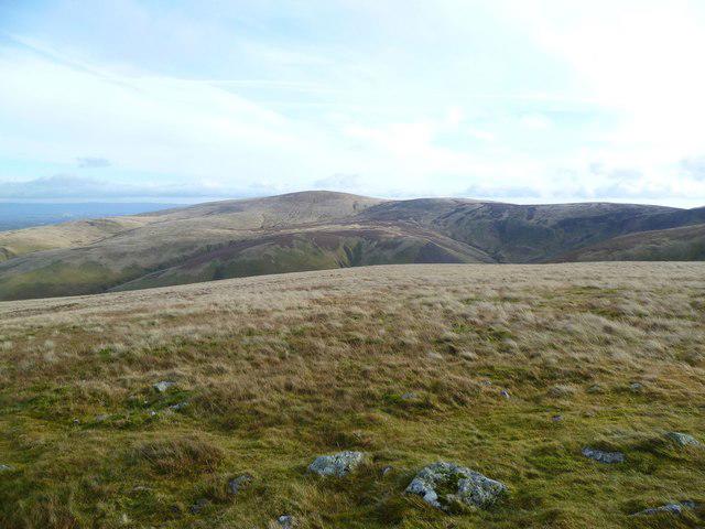 Photo could not load
NY2835 : On Brae Fell
Michael Graham
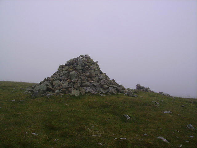 Photo could not load
NY2835 : Summit Cairn, Brae Fell
Michael Graham
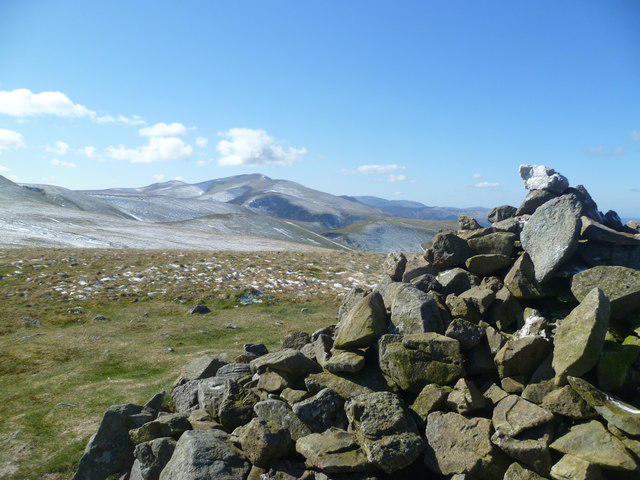 Photo could not load
NY2835 : On Brae Fell
Michael Graham
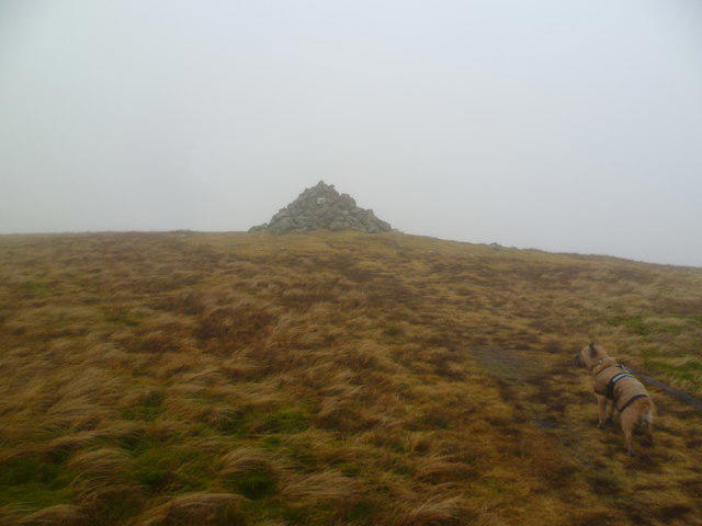 Photo could not load
NY2835 : Approaching Brae Fell
Michael Graham
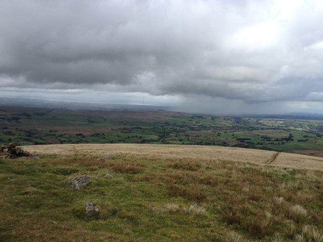 Photo could not load
NY2835 : View from Brae Fell
Dave Thompson
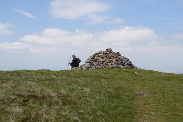 Photo could not load
NY2835 : Brae Fell summit cairn
Trevor Harris
NY2835 : Brae Fell Summit
Michael Graham
Hill facts and local notes
Classifications
Elevation
586m
1,923 ft
Prominence
14m
Coordinates
54.7064, -3.1054
NY288351
OS Map
89 90
Explorer: OL4N
At the Summit
The summit features a simple stone cairn along with a small, weathered trig point, perfect for that 'I was here!' selfie.
Terrain & Geology
Brae Fell is primarily composed of volcanic ash and tuff, which gives its slopes a rugged, enchanting look. Its geological history hints at an explosive past, so don't be alarmed when the ground feels a bit bumpy – it's just showing off!
Views & Scenery
From the summit, you'll have stunning views of Skiddaw, Blencathra, and the breathtaking Bassenthwaite Lake. If you squint hard enough, you might even see your own house (but don't blame me if you can't!).
History & Heritage
Name Origin
The name 'Brae' is derived from the Old Norse word for 'hill' or 'slope', making this mountain literally a 'hill hill'.
Historical Significance
Brae Fell is part of the beautiful landscape that inspired many Lake District artists and writers, including the Romantic poets.
Getting There & Facilities
Parking
There is a small parking area available at Castlerigg Farm, roughly 1.5 km from the trailhead.
Public Transport
The nearest bus service operates from Keswick, with stops at various locations around the Lake District.
Nearby Facilities
Keswick has plenty of facilities, including cafés, shops, and public toilets – just what you need after a long hike!
Safety Information
Known Hazards
- Beware of sudden weather changes; the Lake District is notorious for its unpredictability. Also, watch your step around loose stones and uneven terrain.
General Safety Tips
- Check weather conditions before setting out
- Carry appropriate clothing and equipment
- Let someone know your planned route
- Take a map, compass, and GPS device
- Carry emergency supplies: food, water, first aid kit, torch
Hills
Some common questions about the hills answered
Are there group walks up Brae Fell?
Many walkers use Walkmates to join or organise walks with others. You can check for group walks around Brae Fell through the maps
Are there other walkers around Brae Fell?
Activity varies by location and time, but Walkmates lets you see whether others have shared walks or shown interest in this area. Find other people through the walking friends search walking friends for Brae Fell search or of course create your own walk for Brae Fell
Can I organise a walk to Brae Fell?
Yes. If there aren’t any walks listed already, you can create a walk and make it available for others to join.
If you're signed up to Walkmates, you can create a walk to Brae Fell.
How do I find a walk up this hill?
There are often multiple ways to walk this hill, depending on experience and route preference. Walkmates helps you explore walks and routes that others have shared.
Can I suggest a new route up Brae Fell?
Yes. You can suggest or create routes to share with others. Walkmates focuses on the social side of walking, so routes are used to help people organise walks and explore areas together, rather than as detailed navigation tools or route libraries.
Other uses really appreciate knowledgeable walkers sharing their routes. Share your favourite route to Brae Fell here
The is an error or something incorrect about this hill. How do I let you know?
We always strive to keep the information on Walkmates as accurate as possible. If you find an error, please let us know through the contact form and we'll aim to correct it as quickly as possible
Community Discussion
Comments
Location
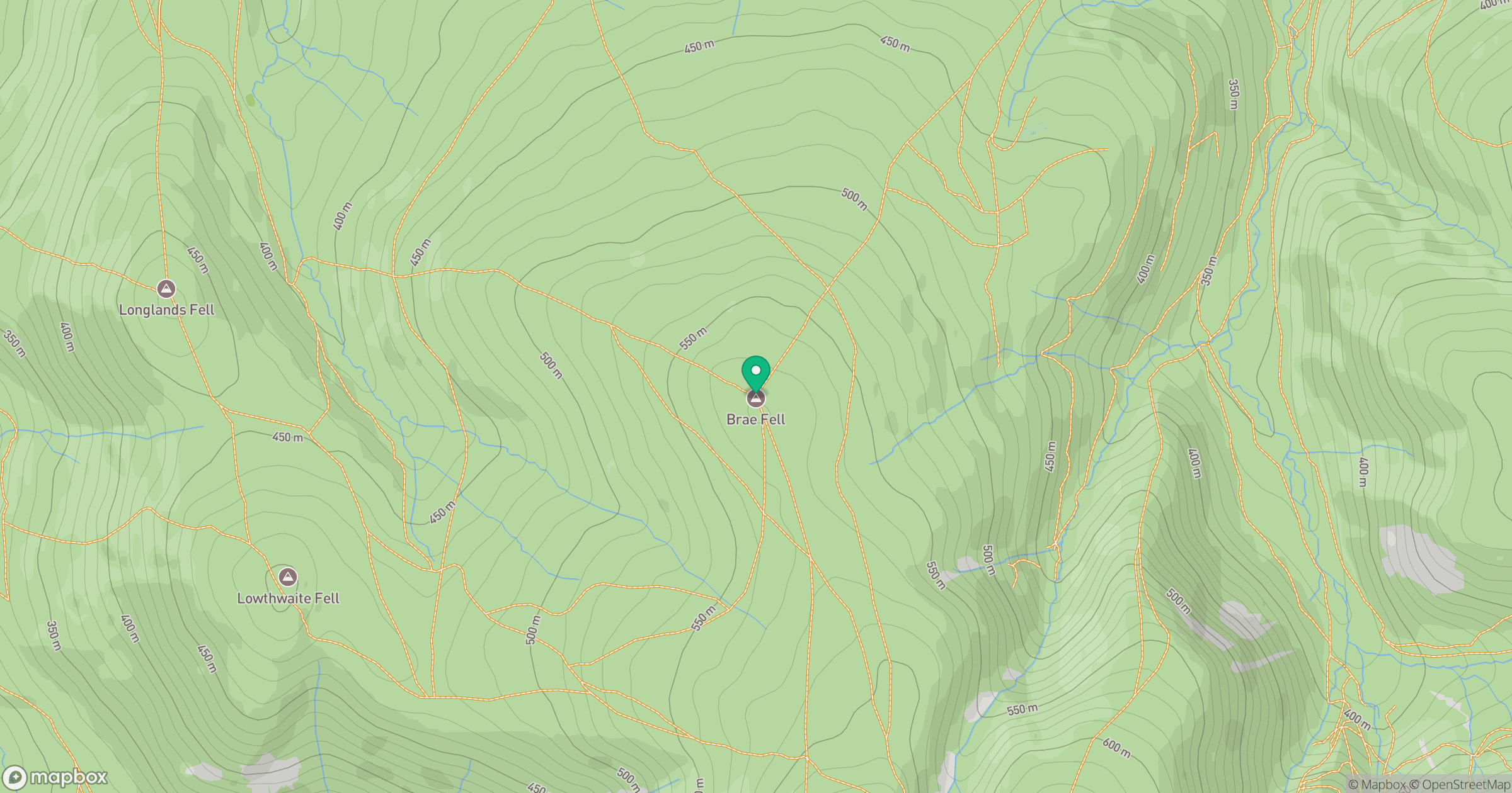
Grid reference: NY288351
View on OpenStreetMapOpens a map in a new tab, centred on the hill.
Nearby Hills
Skiddaw
930m

Blencathra - Hallsfell Top
868m
Grisedale Pike
790m
Crag Hill [Eel Crag]
839m

Helvellyn
950m
No comments yet. Be the first.