

Binsey
Good walks are even better shared.
Overview
Binsey is a 446.7-metre Wainwright in the Northern Fells, with a trig-point summit.
Binsey
Binsey reaches 446.7 metres in the Northern Fells of the Lake District. Its recorded summit is the trig point at NY 22513 35528. Summit record.
Finding the summit
The ground beside the shelter seven metres west of the trig is 10 centimetres lower, despite its piled stones. The cairn 14 metres east is 30 centimetres lower. Head for the trig rather than simply the largest heap of stones.
Binsey stands apart from the main fell groups, so it suits a separate outing rather than a ridge walk linking several Wainwrights. It appears in Book Five, The Northern Fells, of Wainwright’s pictorial guides. Summit photographs and guidebook.
Binsey Lodge out and back
Use the gate at the western end of the roadside lay-by near Binsey Lodge. The path curves above an old quarry hollow, then climbs the grassy slope. Near the top, branch right below the eastern cairn: the broader path bypasses the summit. Visit the trig, then retrace your ascent to the gate and lay-by. Photographic route guide.
View the Binsey Lodge out-and-back route. The plotted route is approximately 2.4 km; allow around 1 hour 30 minutes, adjusting for pace, stops and conditions.
Volcanic landscape
Binsey’s rocks belong to the Eycott Volcanic Group, an Ordovician volcanic succession that includes andesite and other lavas. The British Geological Survey identifies the fellside as the group’s type area. The group includes lava flows and sills, with volcanic deposits between them. BGS geological record.
Views
In clear weather, look towards Skiddaw, Blencathra, Over Water and Bassenthwaite Lake. The western cairn offers a view towards the Solway Firth.
Access and preparation
The lay-by near Binsey Lodge holds only a few cars. Follow current signs, keep gates and property access clear, and have another plan if it is full. Parking and walk account.
Arrange supplies and toilet stops before arriving. For a car-free visit, check travel options to the start and plan the return before setting out.
Grass can become wet or muddy, and cloud can hide the way down. Check the mountain forecast, carry a map and compass you can use, and take suitable footwear, layers, food and drinking water. Leave your plans with someone and finish before dark. Strong wind, storms, snow or ice may make this short walk unsuitable; winter conditions require appropriate skills and equipment. Walking safety.
Explore routes near Binsey
Public walks starting within 80 km of this hill. Nearby does not mean a route reaches the summit; check its map and access before setting out.
Binsey from Binsey Lodge Direct Out and Back Wainwright
View route
Brae Fell from Longlands Wainwright
View route
Mungrisdale Common and Bowscale Fell from Mosedale Valley Wainwright
View route
Derwentwater Walk: full lakeside circuit from Keswick
View route
Route planning notes
These notes describe possible approaches, not verified navigable routes or permission to cross land. Check current paths, local access rules and conditions before setting out.
Binsey Lodge out and back
Follow the uphill path, visit the trig, then retrace the ascent. Distance and time are estimates for the linked Walkmates plot.
Make a day of it, together
Find someone to share the walk with, or organise a day out along a route you like.
Photo Gallery
View all Photo could not load
NY2235 : Sunset on the Solway Firth viewed from on top of Binsey
Robert Matin
 Photo could not load
NY2235 : Binsey Summit
Shaun Ferguson
 Photo could not load
NY2235 : Cairn on Binsey
Trevor Harris
 Photo could not load
NY2235 : Binsey summit
T Eyre
 Photo could not load
NY2235 : On Binsey
Michael Graham
 Photo could not load
NY2235 : On Binsey
Michael Graham
 Photo could not load
NY2235 : Binsey summit
David Brown
 Photo could not load
NY2235 : View from Binsey towards Skiddaw
Iain Macaulay
 Photo could not load
NY2235 : Binsey Fell Cairn
Mike Harris

NY2235 : Binsey Fell Trig Point and Shelters
Mike Harris
Hill facts and local notes
Classifications
Elevation
447m
1,466 ft
Prominence
242m
Coordinates
54.7088, -3.2042
NY225355
OS Map
89 90
Explorer: OL4N
At the Summit
Trig point at NY 22513 35528. The nearby eastern cairn and ground beside the western shelter are lower.
Terrain & Geology
Eycott Volcanic Group: Ordovician volcanic rocks including andesite. Binsey’s fellside is the group’s type area.
Views & Scenery
Skiddaw, Blencathra, Over Water, Bassenthwaite Lake and the Solway Firth.
History & Heritage
Historical Significance
Included in Book Five, The Northern Fells, of Alfred Wainwright’s pictorial guides.
Getting There & Facilities
Check current local access restrictions, parking rules and transport timetables before travelling. These notes do not confirm public access to the summit.
Parking
Limited lay-by parking near Binsey Lodge. Follow signs and keep gates and access clear; a space is not guaranteed.
Public Transport
Check current travel options to Binsey Lodge and arrange your return before setting out.
Nearby Facilities
Plan supplies and toilet stops before arrival.
Safety Information
Known Hazards
- Wet grass and mud can be slippery.
- Cloud can obscure the return route.
- The open fell is exposed to wind.
Seasonal Hazards
Snow, ice, storms and short daylight can make the walk more demanding or unsuitable.
General Safety Tips
- Check weather conditions before setting out
- Carry appropriate clothing and equipment
- Let someone know your planned route
- Take a map, compass, and GPS device
- Carry emergency supplies: food, water, first aid kit, torch
Hills
Some common questions about the hills answered
Are there group walks up Binsey?
Many walkers use Walkmates to join or organise walks with others. You can check for group walks around Binsey through the maps
Are there other walkers around Binsey?
Activity varies by location and time, but Walkmates lets you see whether others have shared walks or shown interest in this area. Find other people through the walking friends search walking friends for Binsey search or of course create your own walk for Binsey
Can I organise a walk to Binsey?
Yes. If there aren’t any walks listed already, you can create a walk and make it available for others to join.
If you're signed up to Walkmates, you can create a walk to Binsey.
How do I find a walk up this hill?
There are often multiple ways to walk this hill, depending on experience and route preference. Walkmates helps you explore walks and routes that others have shared.
Can I suggest a new route up Binsey?
Yes. You can suggest or create routes to share with others. Walkmates focuses on the social side of walking, so routes are used to help people organise walks and explore areas together, rather than as detailed navigation tools or route libraries.
Other uses really appreciate knowledgeable walkers sharing their routes. Share your favourite route to Binsey here
The is an error or something incorrect about this hill. How do I let you know?
We always strive to keep the information on Walkmates as accurate as possible. If you find an error, please let us know through the contact form and we'll aim to correct it as quickly as possible
Community Discussion
Comments
Location
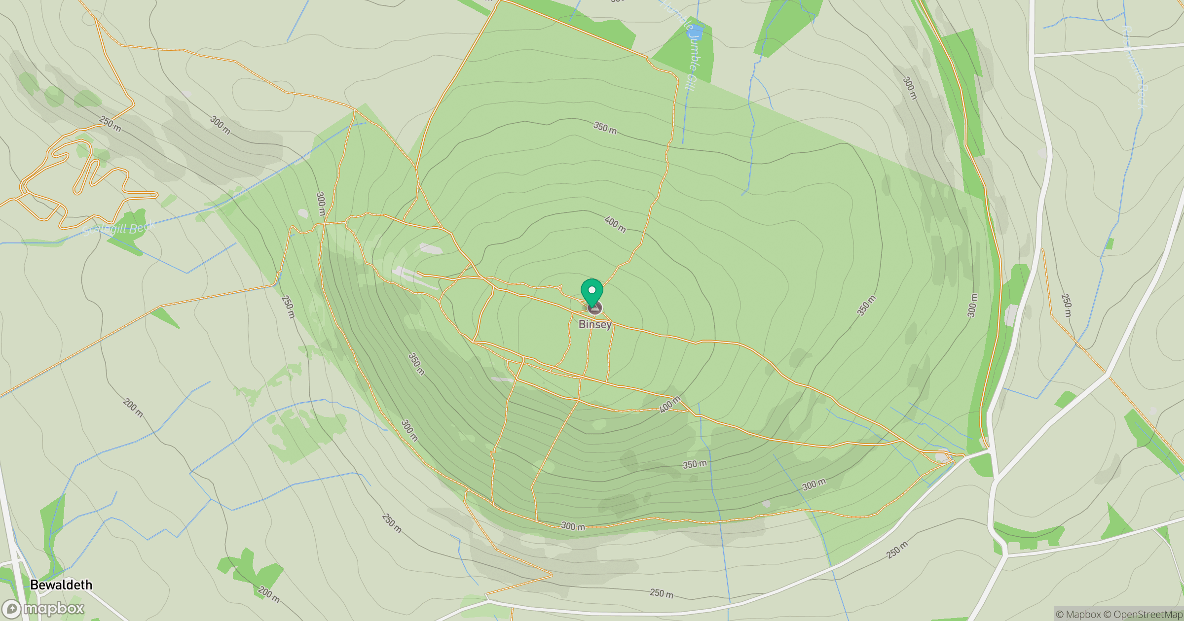
Grid reference: NY225355
View on OpenStreetMapOpens a map in a new tab, centred on the hill.
Hills within 30 km
Straight-line distance, not a walking route or confirmation of access.
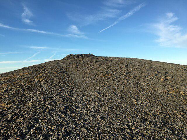
Skiddaw
930m

Grisedale Pike
790m

Crag Hill [Eel Crag]
839m
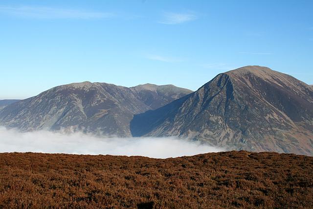
Grasmoor
852m
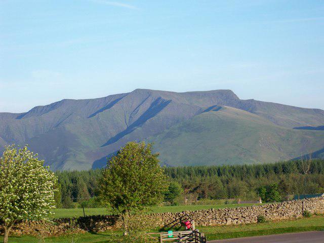
Blencathra - Hallsfell Top
868m
No comments yet. Be the first.