

Whin Rigg (Wasdale)
Good walks are even better shared.
NY1503 : Walkers enjoying the view from Whin Rigg
Ian Greig Photo source
Overview
Whin Rigg (Wasdale)
Whin Rigg is a delightful fell located in the heart of the Lake District, specifically near the picturesque Wasdale valley. Rising to an elevation of 651 meters, it provides not only a rewarding challenge for hikers but also some of the most incredible views this enchanting area has to offer.
Geology
Whin Rigg's geological makeup consists mainly of trachyte, a type of volcanic rock, which echoes the turbulent geological events that shaped this region over millions of years. As you tread along the paths, take a moment to appreciate the ancient history beneath your feet!
Hiking Routes
The primary route is the Wasdale Head Walk, which begins at the foot of the mountains and meanders its way up to the summit. With a distance of 7.5 km and an estimated hiking time of about 3.5 hours, it’s a moderate trek that's perfect for intermediates and keen beginners. Make sure to pack your sense of adventure!
Terrain
The terrain varies from rocky paths to grassy slopes, with some boggy areas that add a bit of fun (or mud) to your trek. Good walking boots are essential, especially if you don't fancy taking an unexpected dip in a bog!
Summit Experience
Upon reaching the summit, you'll find a small stone cairn sitting proudly, serving as a testament to all those who have endeavoured to conquer this fell. The panoramic views are simply magnificent; from here, you can spot not only Wast Water but also the towering Scafell Pike on the horizon.
Hazards
As with all mountain hikes, keep an eye out for loose stones and slippery paths, particularly after a rain shower. The bogs are sneaky, so tread carefully to avoid the infamous ‘sucking bog’ experience!
Nearby Attractions
After your hike, consider exploring nearby summits like Illgill Head and Scafell Pike. They offer more stunning vistas and additional hiking opportunities that can easily fill your day.
Access and Facilities
For access, the nearest parking is at Wasdale Head, but be sure to arrive early during the busy months. There’s a bus route from Ravenglass that can drop you off close to the trailhead, though the frequency might leave you in a bit of a waiting game!
Facilities are sparse in the hills, but the nearby Wasdale Head Inn is perfect for refuelling after your adventure.
Conclusion
So, pack your rucksack, lace up those boots, and embark on the adventure at Whin Rigg. With its charming scenery and moderate trek, you’re set for a day out that’s sure to be memorable. Remember: the only thing better than a good hike is the post-hike cake!
Last Updated: 2023-10-01
Explore routes near Whin Rigg (Wasdale)
Walks starting near this hill. Open a route to check its map, distance and full itinerary.
Scafell Pike via Brown Tongue and Hollow Stones
View route
Scafell Pike from Seathwaite via the Corridor Route
View route
Great Carrs Halifax Wreckage from Wrynose Pass
View route
Steeple, Scoat Fell and Haycock from Ennerdale
View route
Route planning notes
These notes describe possible approaches. Check a route's map and access information when planning your walk.
Wasdale Head Walk
A popular route starting from Wasdale Head leading directly towards the summit, offering scenic views and moderate inclines.
Make a day of it, together
Find someone to share the walk with, or organise a day out along a route you like.
Photo Gallery
View all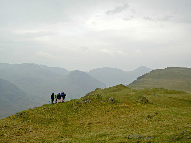 Photo could not load
NY1503 : Walkers enjoying the view from Whin Rigg
Ian Greig
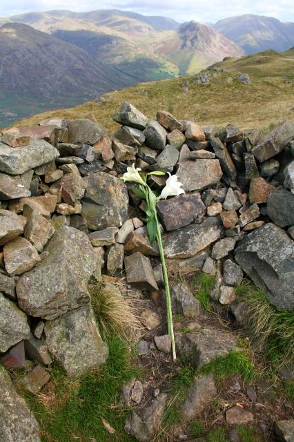 Photo could not load
NY1503 : Lilies on Whin Rigg
Steve Partridge
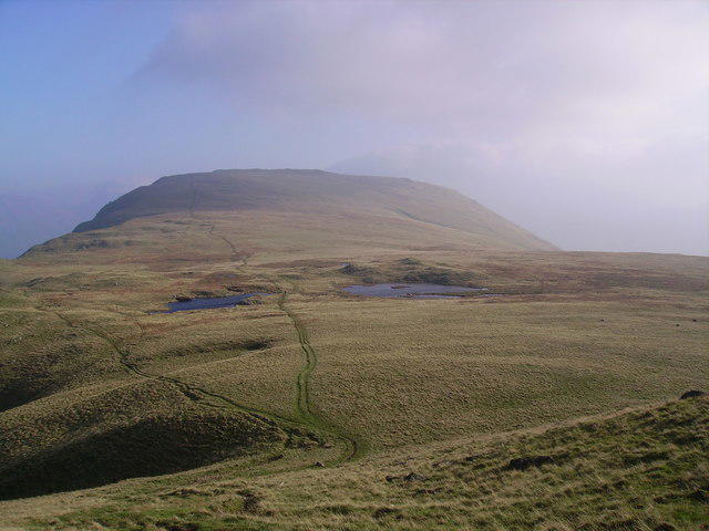 Photo could not load
NY1503 : Whin Rigg Tarns
Michael Graham
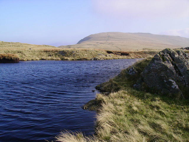 Photo could not load
NY1503 : Whin Rigg Tarn
Michael Graham
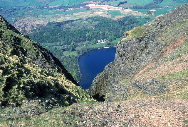 Photo could not load
NY1503 : Head of Great Gully, Wasdale Screes
Tom Richardson
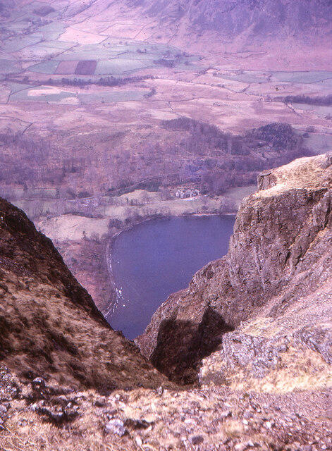 Photo could not load
NY1503 : Gully on Whin Rigg
Jim Barton
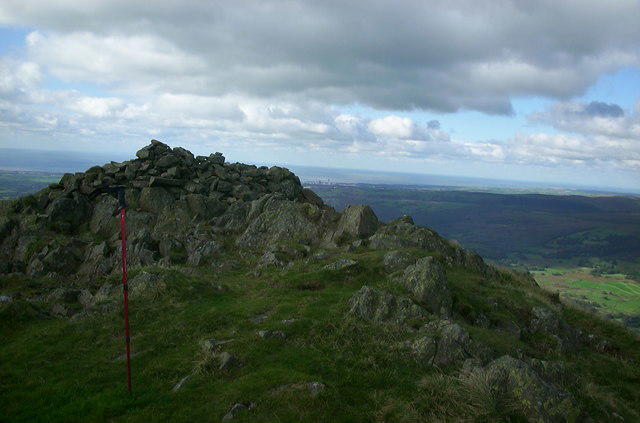 Photo could not load
NY1503 : Whin Rigg Summit
David Robinson
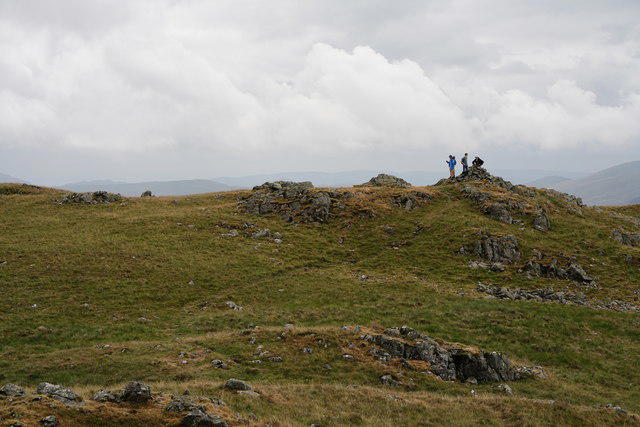 Photo could not load
NY1503 : Whin Rigg
Peter Trimming
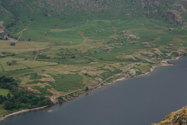 Photo could not load
NY1503 : View From Whin Rigg
Peter Trimming
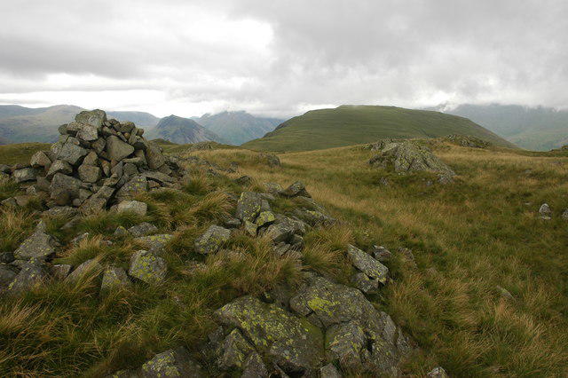
NY1503 : Cairn on Whin Rigg
Philip Halling
Hill facts and local notes
Classifications
Elevation
537m
1,762 ft
Prominence
59m
Coordinates
54.4202, -3.3099
NY151035
OS Map
89
Explorer: OL6N
At the Summit
The summit is marked by a small stone cairn, providing a fine spot for a well-deserved rest and a photo opportunity against a stunning backdrop.
Terrain & Geology
Whin Rigg is primarily composed of volcanic rock with trachyte characteristics, formed during the 450 million-year-old Ordovician period. The rocky structure provides an intriguing insight into the geological history of the Lake District.
Views & Scenery
From the summit, expect breathtaking views of Wast Water, Scafell Pike, and the surrounding peaks of the Lake District. On a clear day, you may even spot the Irish Sea!
History & Heritage
Name Origin
The name 'Whin' is derived from the Old English for gorse or furze, indicating the vegetation likely found in the area.
Historical Significance
Whin Rigg has been a popular hiking destination for generations, offering a quieter alternative to the more frequented peaks like Scafell Pike.
Getting There & Facilities
Parking
Parking is available at Wasdale Head. The car park can fill up quickly during peak season, so arrive early to secure a spot.
Public Transport
The nearest bus service is the 5B from Ravenglass to Wasdale Head, which runs a few times a day, but check the schedule as options are limited.
Nearby Facilities
There are no facilities on the mountain itself, but the Wasdale Head Inn offers food and drink, making it a great place for a post-hike pint.
Safety Information
Known Hazards
- Beware of loose stones on paths, especially in wet conditions, and the boggy sections can easily claim a boot or two if you're not careful.
General Safety Tips
- Check weather conditions before setting out
- Carry appropriate clothing and equipment
- Let someone know your planned route
- Take a map, compass, and GPS device
- Carry emergency supplies: food, water, first aid kit, torch
Hills
Some common questions about the hills answered
Are there group walks up Whin Rigg (Wasdale)?
Many walkers use Walkmates to join or organise walks with others. You can check for group walks around Whin Rigg (Wasdale) through the maps
Are there other walkers around Whin Rigg (Wasdale)?
Activity varies by location and time, but Walkmates lets you see whether others have shared walks or shown interest in this area. Find other people through the walking friends search walking friends for Whin Rigg (Wasdale) search or of course create your own walk for Whin Rigg (Wasdale)
Can I organise a walk to Whin Rigg (Wasdale)?
Yes. If there aren’t any walks listed already, you can create a walk and make it available for others to join.
If you're signed up to Walkmates, you can create a walk to Whin Rigg (Wasdale).
How do I find a walk up this hill?
There are often multiple ways to walk this hill, depending on experience and route preference. Walkmates helps you explore walks and routes that others have shared.
Can I suggest a new route up Whin Rigg (Wasdale)?
Yes. You can suggest or create routes to share with others. Walkmates focuses on the social side of walking, so routes are used to help people organise walks and explore areas together, rather than as detailed navigation tools or route libraries.
Other uses really appreciate knowledgeable walkers sharing their routes. Share your favourite route to Whin Rigg (Wasdale) here
The is an error or something incorrect about this hill. How do I let you know?
We always strive to keep the information on Walkmates as accurate as possible. If you find an error, please let us know through the contact form and we'll aim to correct it as quickly as possible
Community Discussion
Comments
Location
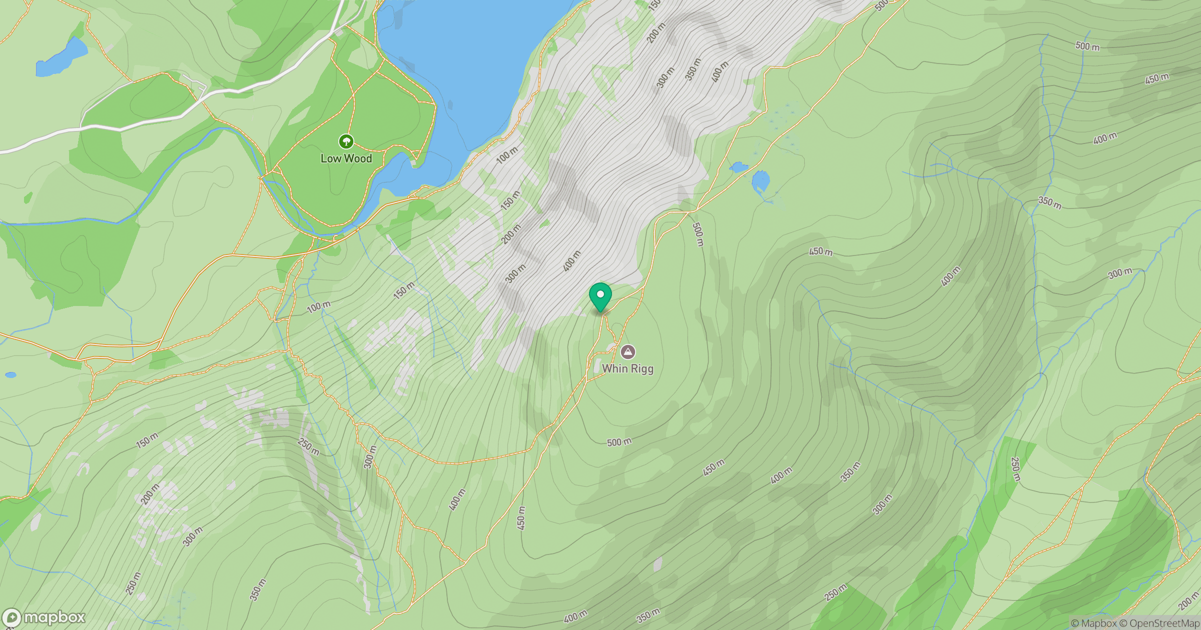
Grid reference: NY151035
View on OpenStreetMapOpens a map in a new tab, centred on the hill.
Nearby Hills
Pillar
892m
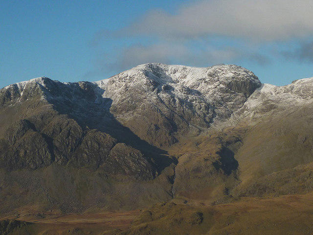
Scafell
964m
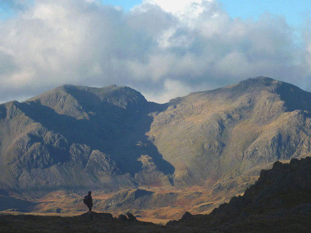
Scafell Pike
978m
High Stile [Grey Crag - High Stile]
806m

Great Gable
899m
No comments yet. Be the first.