PointToPoint
Easy
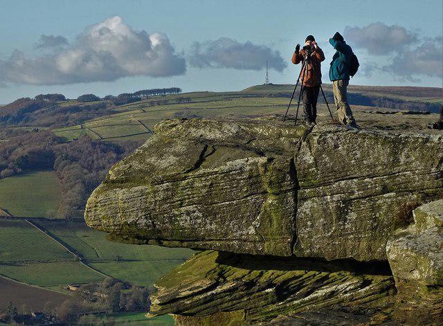
White Edge, Curbar Edge, Froggatt Edge loop.
Cerbykev
Walk organiser

Wardlow Hay Cop Group Walks | Join a Walk
Join group walks, find walking companions and friends, or organise your own!
Don't walk alone! Find friendly walkers to explore Wardlow Hay Cop together. Join scheduled group walks or start your own.
Elevation
370m
1,214 ft
Prominence
53m
Coordinates
53.2625, -1.7338
SK178739
OS Map
119
Explorer: OL24E
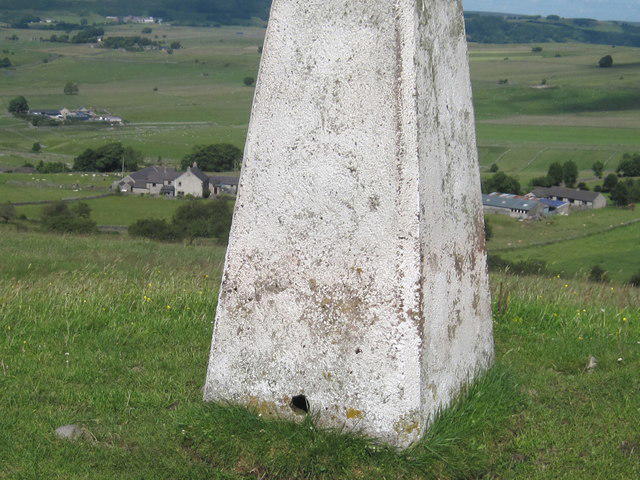
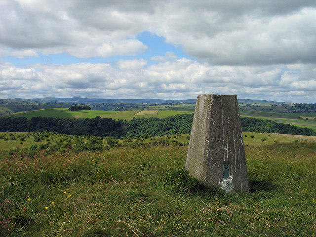
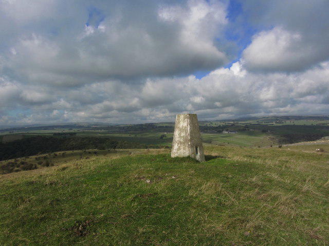
At the summit, you will find a stone cairn and a small wooden post which adds a rustic charm. The panoramic views from the top are quite rewarding, provided the weather is on your side!
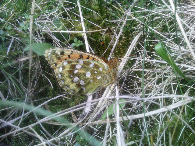
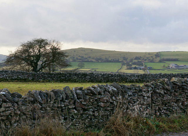
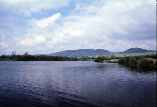
Wardlow Hay Cop is primarily composed of limestone, which gives it the rugged features characteristic of the Peak District. The rock formations provide a mix of interesting karst features and a rich habitat for various flora and fauna.
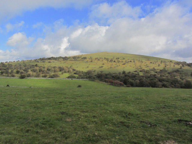
On a clear day, you can see the rolling hills of the Peak District and the distant outline of the White Peak area, including the iconic limestone dales.
Wardlow Hay Cop derives its name from the Old English 'ward' meaning 'watch' and 'low' meaning 'hill', suggesting it was a lookout point.
The hill has been a beloved hiking spot for locals and visitors alike, and boasts a rich blend of nature and history, being part of the traditional Peak District landscape.
A pleasant and straightforward ascent from the quaint village of Wardlow, weaving through lush pastures and scenic paths.
A more challenging route with some elevation gain, this trail provides stunning views of the Monsal Dale and surrounding valleys.
Wardlow has limited parking available near the village hall. Alternatively, consider parking at the Monsal Head car park (pay and display) which provides access to several routes.
There are occasional bus services from Bakewell to Wardlow. The nearest railway station is in Bakewell, about 5 miles away.
The village of Wardlow has a small tearoom and public toilets in nearby Bakewell.
Join friendly walkers exploring Wardlow Hay Cop and surrounding area
More walks starting close to this area

Create a walk and let others join you. It's free and easy!
Some common questions about the hills answered
Many walkers use Walkmates to join or organise walks with others. You can check for group walks around Wardlow Hay Cop through the maps
Activity varies by location and time, but Walkmates lets you see whether others have shared walks or shown interest in this area. Find other people through the walking friends search walking friends for Wardlow Hay Cop search or of course create your own walk for Wardlow Hay Cop
Yes. If there aren’t any walks listed already, you can create a walk and make it available for others to join.
If you're signed up to Walkmates, you can create a walk to Wardlow Hay Cop.
There are often multiple ways to walk this hill, depending on experience and route preference. Walkmates helps you explore walks and routes that others have shared.
Yes. You can suggest or create routes to share with others. Walkmates focuses on the social side of walking, so routes are used to help people organise walks and explore areas together, rather than as detailed navigation tools or route libraries.
Other uses really appreciate knowledgeable walkers sharing their routes. Share your favourite route to Wardlow Hay Cop here
We always strive to keep the information on Walkmates as accurate as possible. If you find an error, please let us know through the contact form and we'll aim to correct it as quickly as possible
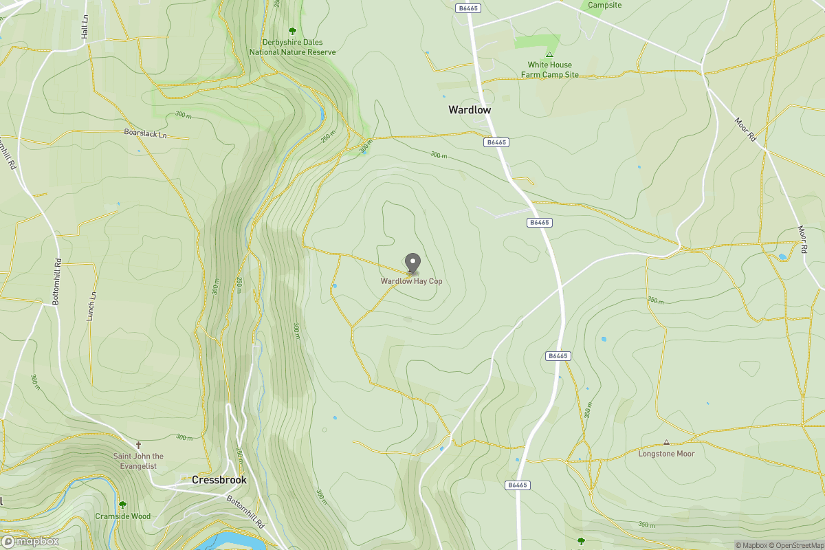
Grid Ref: SK178739
Kinder Scout
636m
The Roaches
505m
Rombalds Moor [Ilkley Moor]
402m
Pendle Hill
557m
Winter Hill
456m
+ 5 more nearby hills
Find more walking companions in the area
No comments yet. Be the first.