
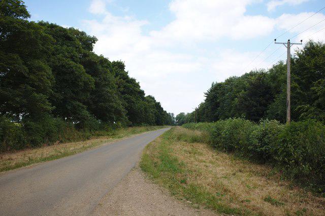
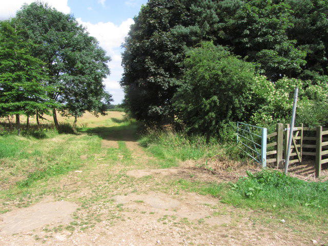
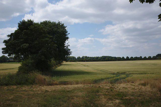
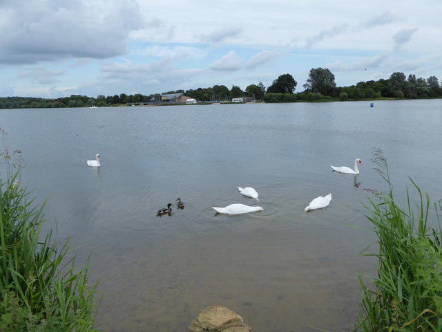
Countryside
Circular
Easy
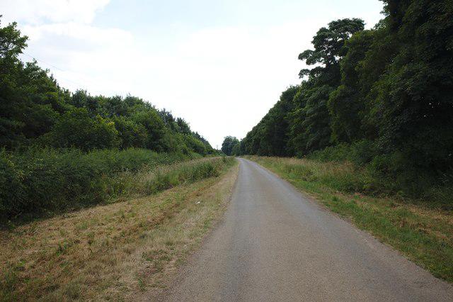
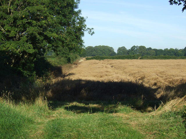
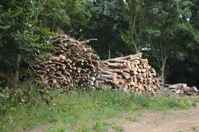
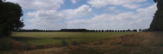
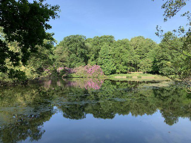
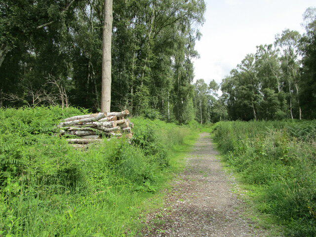
Ferry Meadows from Lynch Wood Peterborough
PaulWalkmates
Walk organiser
No comments yet. Be the first.