
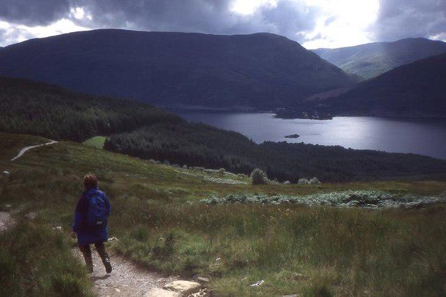
Canal / Riverside
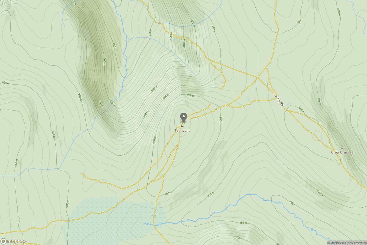
PointToPoint
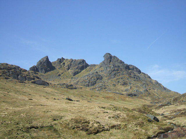
Easy
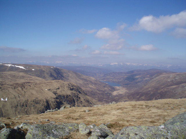
Deeside Way
ElFlipster
Walk organiser
No comments yet. Be the first.