
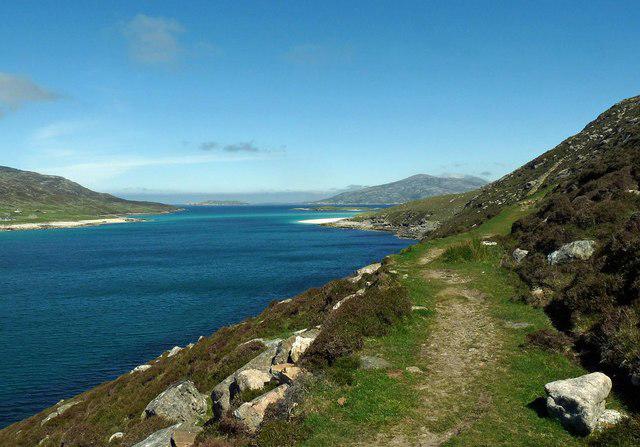
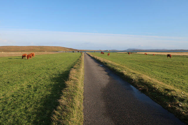
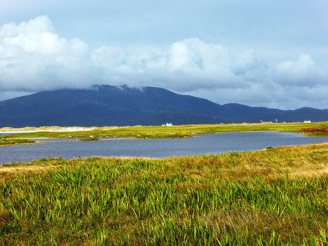
Coastal
PointToPoint
Easy
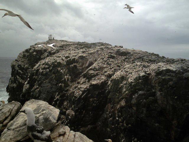
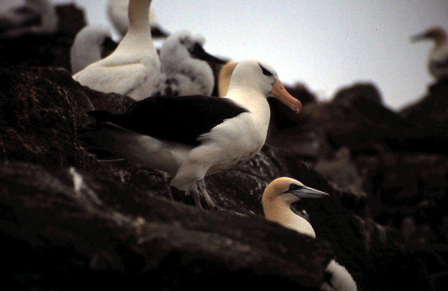
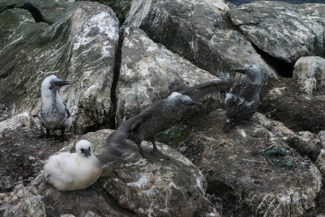
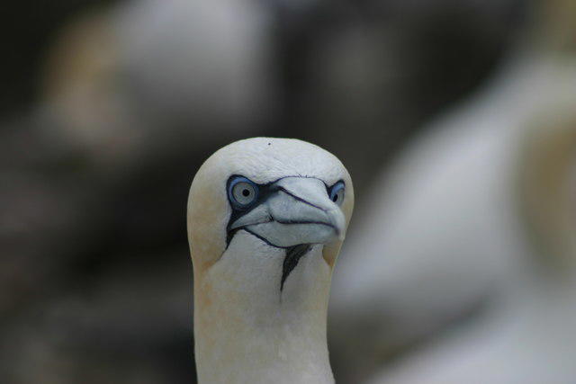
Beautiful private beach walk Isle of Harris
PaulWalkmates
Walk organiser
No comments yet. Be the first.