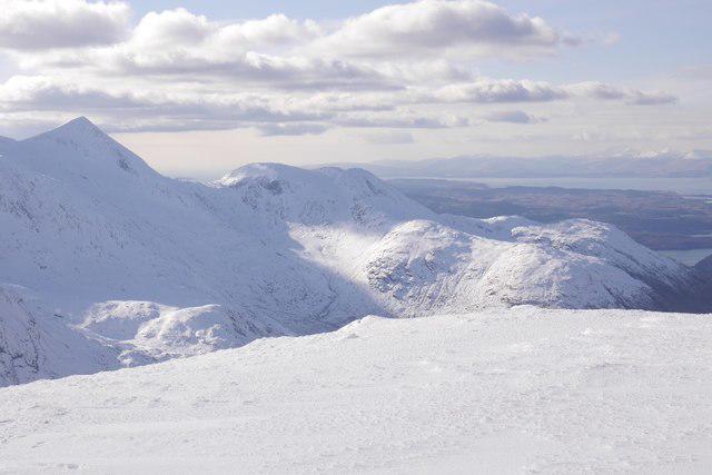
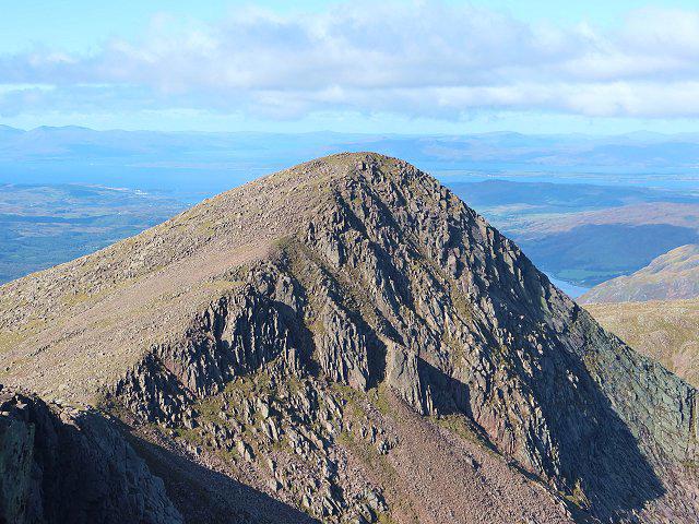
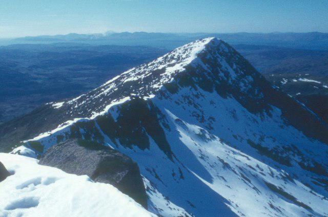
![Stob Dearg [Taynuilt Peak]](https://cdn.walkmates.com/hill-photos/hill-placeholder.jpg)

Upland / Hill
Circular
Hard
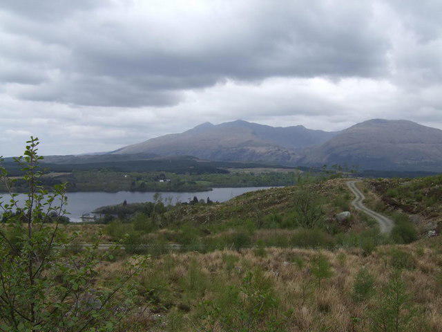
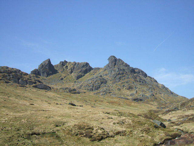
Beinn Ime from Succoth

PaulWalkmates
Walk organiser
![Stob Dearg [Taynuilt Peak] location map](https://cdn.walkmates.com/hill-maps/stob-dearg-[taynuilt-peak].png)
No comments yet. Be the first to share your thoughts!