PointToPoint
Easy
White Edge, Curbar Edge, Froggatt Edge loop.
Cerbykev
Walk organiser

Stanedge Pole Group Walks | Join a Walk
Join group walks, find walking companions and friends, or organise your own!
Don't walk alone! Find friendly walkers to explore Stanedge Pole together. Join scheduled group walks or start your own.
Elevation
444m
1,457 ft
Prominence
17m
Coordinates
53.3562, -1.6306
SK246844
OS Map
110
Explorer: OL1E
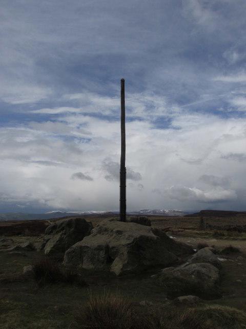
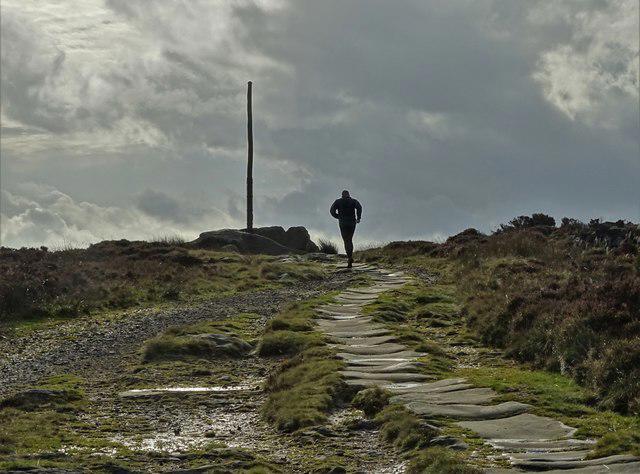
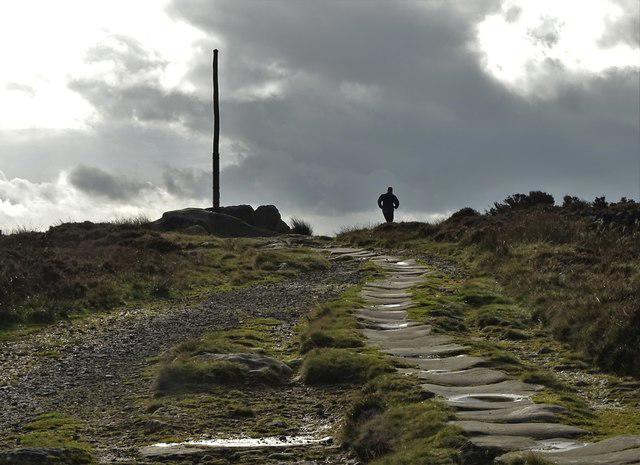
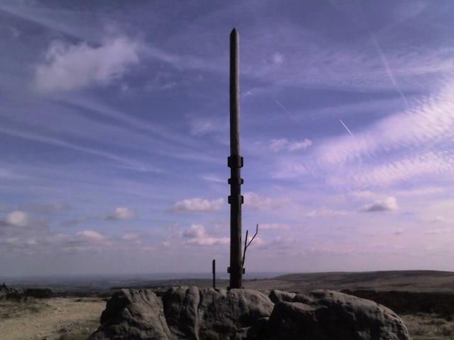
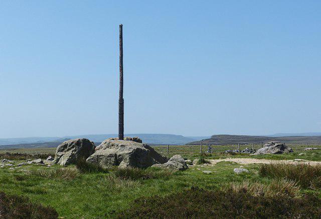
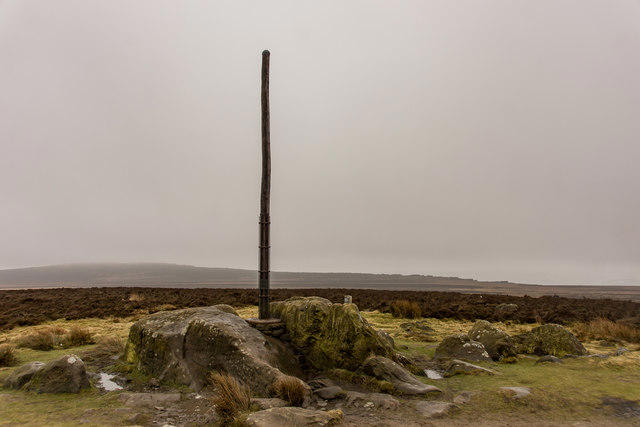
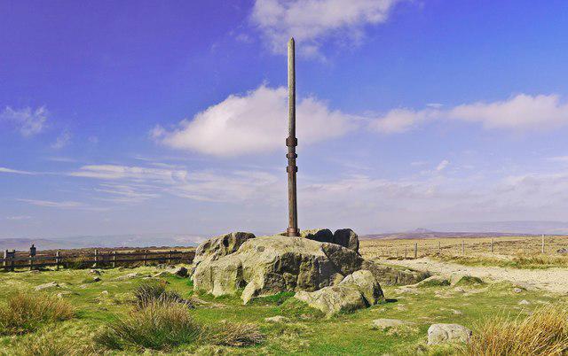
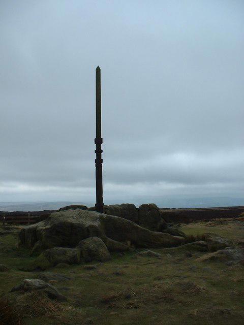
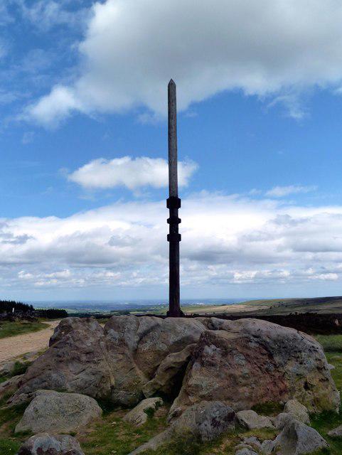
The summit features a prominent trig point, which is a classic spot for summit selfies, and a nearby stone-built pole marking the historic boundary between Derbyshire and Yorkshire.
Stanedge Pole is primarily composed of gritstone, a durable rock formed from sandstone that has undergone significant pressure and heat. Its rugged formation offers a stark contrast to the softer limestone of parts of the surrounding Peak District.
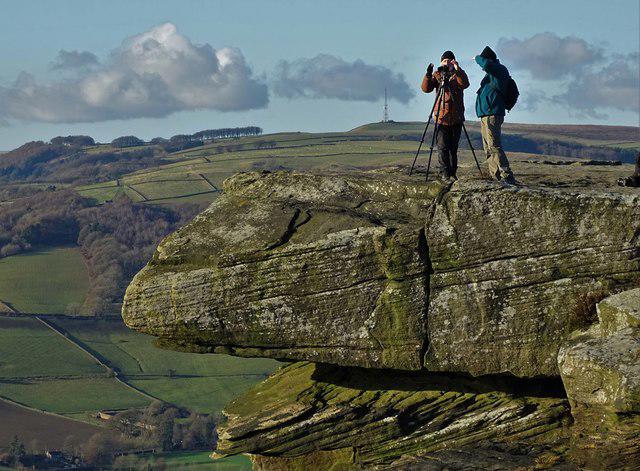
From the summit, one can see the surrounding rolling hills of the Peak District, the Ladybower Reservoir, and on clear days, even as far as the Pennines.
The name 'Stanedge' is believed to derive from 'stone edge', referencing the prominent gritstone edges in the area.
Stanedge Pole has been used as a navigation point for centuries and holds historical significance due to its border marking function between counties.
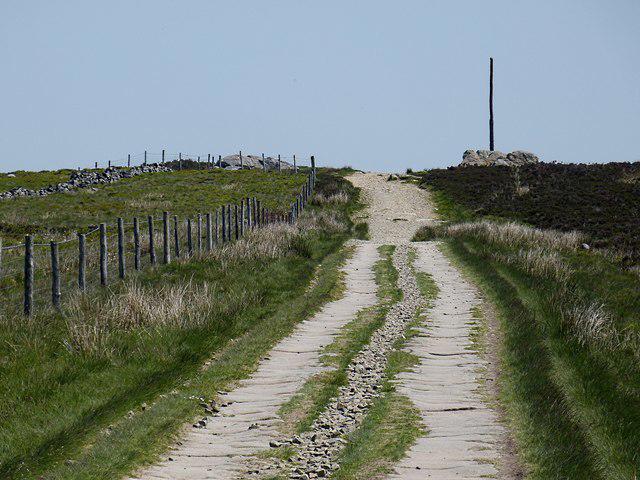
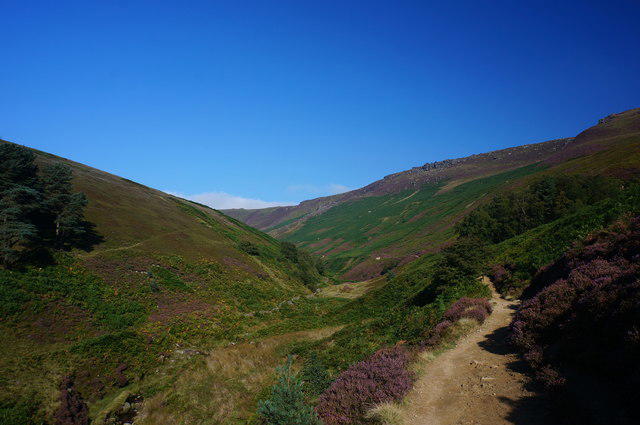
A well-marked route that winds through stunning moorland and leads directly to the summit, offering occasional views of the surrounding valleys.
A scenic walk that begins at the Ladybower Reservoir and approaches the summit from the south, including a few steep sections but rewarded with breathtaking vistas.
The nearest parking area is at the A57 car park, which is about a 15-minute walk from the start of the Stanedge Trail.
Buses from Sheffield to Manchester frequently pass by the A57; check local schedules for current routes and times.
While there are no facilities directly at the summit, the nearby village of Glossop offers several cafes, pubs, and public toilets for a refreshing stop after your hike.
Join friendly walkers exploring Stanedge Pole and surrounding area
More walks starting close to this area

Create a walk and let others join you. It's free and easy!
Some common questions about the hills answered
Many walkers use Walkmates to join or organise walks with others. You can check for group walks around Stanedge Pole through the maps
Activity varies by location and time, but Walkmates lets you see whether others have shared walks or shown interest in this area. Find other people through the walking friends search walking friends for Stanedge Pole search or of course create your own walk for Stanedge Pole
Yes. If there aren’t any walks listed already, you can create a walk and make it available for others to join.
If you're signed up to Walkmates, you can create a walk to Stanedge Pole.
There are often multiple ways to walk this hill, depending on experience and route preference. Walkmates helps you explore walks and routes that others have shared.
Yes. You can suggest or create routes to share with others. Walkmates focuses on the social side of walking, so routes are used to help people organise walks and explore areas together, rather than as detailed navigation tools or route libraries.
Other uses really appreciate knowledgeable walkers sharing their routes. Share your favourite route to Stanedge Pole here
We always strive to keep the information on Walkmates as accurate as possible. If you find an error, please let us know through the contact form and we'll aim to correct it as quickly as possible
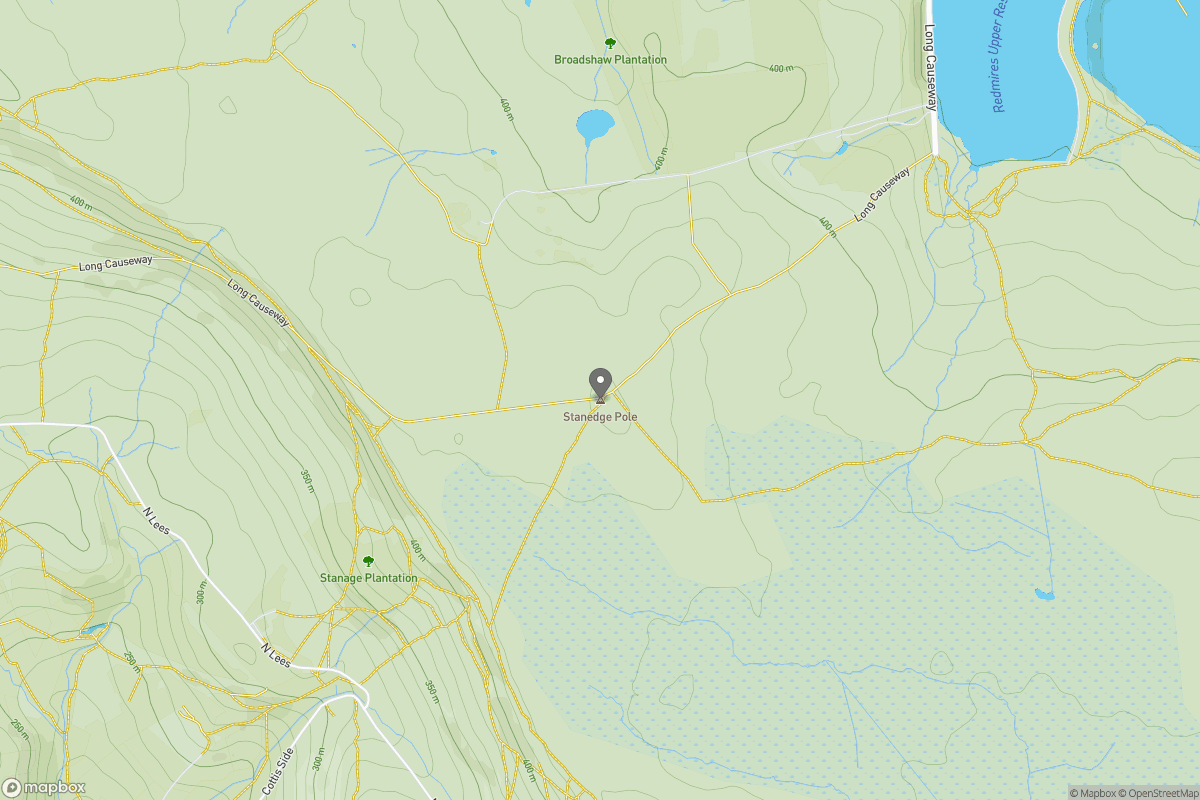
Grid Ref: SK246844
Kinder Scout
636m
The Roaches
505m
Rombalds Moor [Ilkley Moor]
402m
Pendle Hill
557m
Winter Hill
456m
+ 5 more nearby hills
Find more walking companions in the area
No comments yet. Be the first.