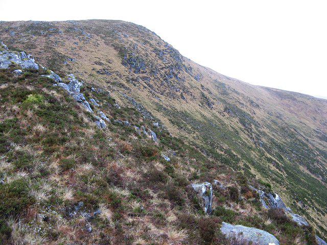
![Sgurr Choinnich [Sgurr Choinich]](https://cdn.walkmates.com/hill-photos/hill-placeholder.jpg)
Upland / Hill
Circular
Hard
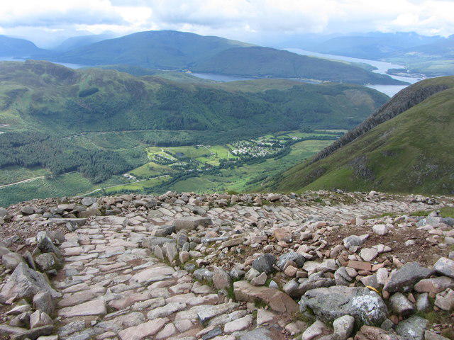
Ben Nevis via Mountain Path

PaulWalkmates
Walk organiser

![Sgurr Choinnich [Sgurr Choinich] location map](https://cdn.walkmates.com/hill-maps/sgurr-choinnich-[sgurr-choinich].png)
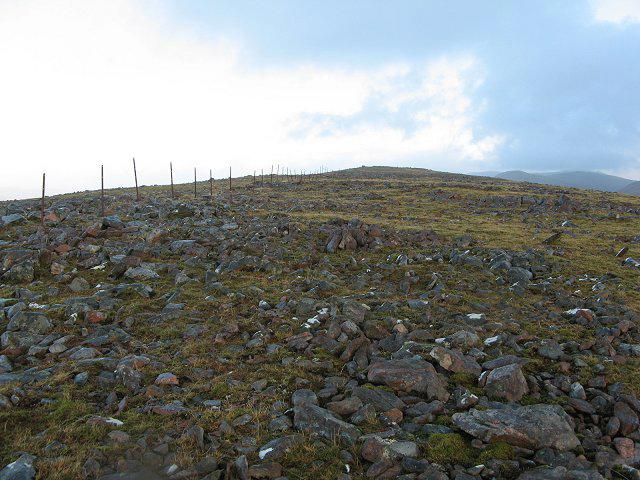
![Ben Nevis [Beinn Nibheis]](https://cdn.walkmates.com/gallery-images/44e34d25abc849e78f7b99a97863fffb.jpg)
No comments yet. Be the first to share your thoughts!