
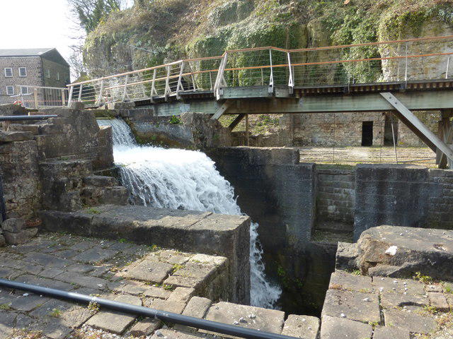
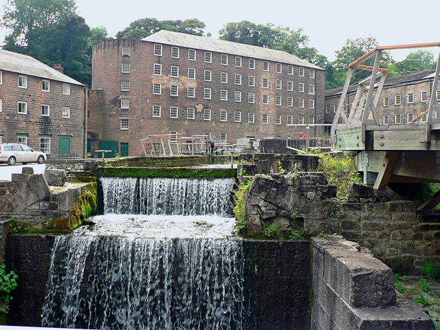
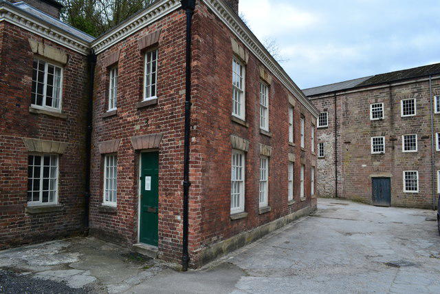
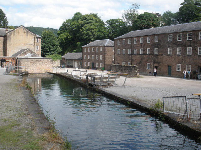
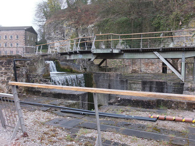
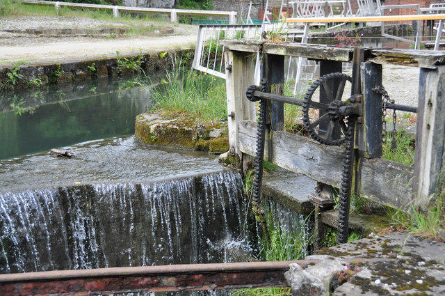
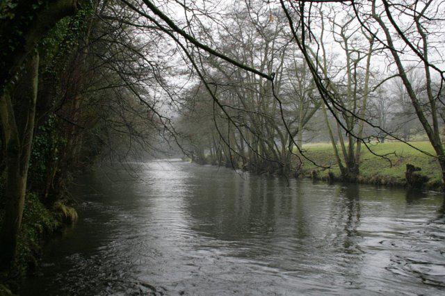
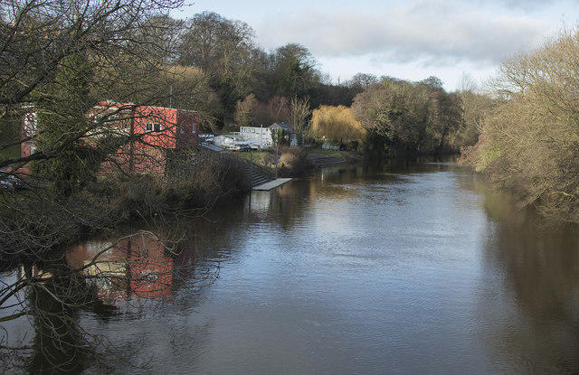
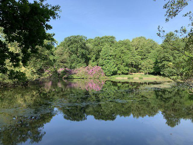
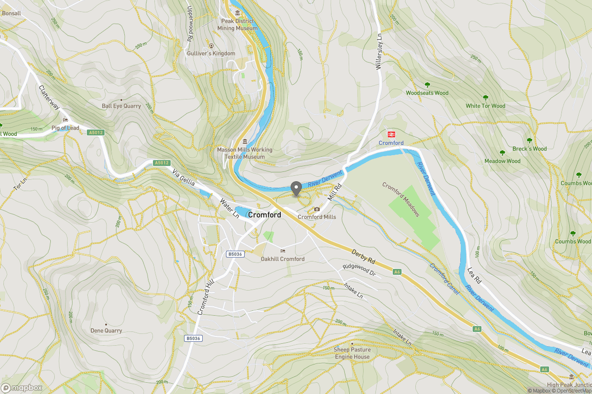
Canal / Riverside
Circular
Medium
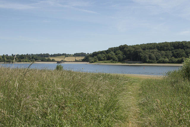
Friendly Ogston Reservoir walk
T
tiboricgmailcom
Walk organiser

No comments yet. Be the first.