

Mull of Galloway
Good walks are even better shared.
NX1530 : Old Ruin, Mull of Galloway
Billy McCrorie Photo source
Overview
Mull of Galloway: The Jewel of Dumfries and Galloway
The Mull of Galloway stands proudly at 205 meters, boasting not only a rich history but also breathtaking views that make the trek well worth your while. As Scotland's southernmost point, it offers an enchanting mix of coastal scenery and rugged landscapes. You might even feel like you are on the edge of the world!
Geology
The ground beneath your feet is a reminder of the past, where soft sedimentary rocks such as sandstone and shale tell tales of a time long gone. The dramatic cliffs are impressive to behold, providing habitats for local seabirds and a fantastic backdrop for photos (just don’t drop your camera over the edge!).
Access
Reaching Mull of Galloway is fairly straightforward. There is a modest parking area near the lighthouse, which tends to fill up quickly on sunny days. If you're relying on public transport, keep in mind that Stranraer is the closest town and offers taxi services to reach this marine marvel.
Routes
- Mull of Galloway Lighthouse Trail: A gentle route that is perfect for families, leading you directly to the iconic lighthouse with stunning coastal views along the way.
- Coastal Path Loop: For those looking for a bit more of a challenge, this circular route runs the length of the coastline, with beautiful panoramas to savour as you stroll.
Summit Features
At the summit, you'll discover a sturdy trig point which provides the ideal photo opportunity. On a clear day, you can gaze across the sea towards the Isle of Man, feeling as if you could almost touch it. Don't forget your binoculars to spot some rare seabirds!
Hazards
While the views are to die for, please tread carefully. The steep cliffs and slippery coastal paths mean caution is the name of the game—no need to go tumbling over the edge in pursuit of that perfect selfie!
Facilities
Don’t forget to reward yourself after the hike! The nearby Visitor Centre offers a lovely selection of snacks and hot drinks, plus toilets to freshen up.
History
The Mull has long been a significant lookout point, with the lighthouse serving as a beacon for sailors since 1830. The name itself frames a long heritage and evokes the spirit of Galloway’s rugged cliffs and expansive seas.
In summation, a visit to Mull of Galloway is bound to fill your heart with joy and your camera with spectacular shots—just try not to let your enthusiasm lead you too close to the edge!
Happy hiking!
Explore routes near Mull of Galloway
Walks starting near this hill. Open a route to check its map, distance and full itinerary.
Kilsture Forest Woodpecker Trail
View route
Knockman Wood Cairn and Woodland Trail
View route
Kirroughtree Little Bruntis Lochs and Woodland Trail
View route
Wood of Cree Waterfalls and Scrubland Circuit
View route
Route planning notes
These notes describe possible approaches. Check a route's map and access information when planning your walk.
Mull of Galloway Circular Coastal Walk
This well-loved route starts at the Mull of Galloway Lighthouse, the southernmost point of Scotland, and follows the dramatic coastal cliffs. You'll enjoy stunning views over the Irish Sea, the Isle of Man, and even Ireland on a clear day. The path loops back inland through farmland, providing a varied and scenic experience.
Mull of Galloway Lighthouse to Drummore Linear Walk
Begin at the iconic Mull of Galloway Lighthouse and head north along the rugged coastline towards the village of Drummore. This route offers breathtaking sea views, passing by secluded coves and rich wildlife habitats. Return via the same route or arrange transport back.
Mull of Galloway Wildlife Trail
A shorter, family-friendly option starting at the lighthouse, this trail focuses on the area's incredible flora and fauna. Look out for seabirds, seals, and wildflowers as you meander along the coastal path. Information boards along the route provide insights into the local wildlife.
Mull of Galloway to Maryport Coastal Explorer
A more challenging route for seasoned walkers, this trail follows the coastline from the Mull of Galloway to Maryport Bay. The path traverses rugged terrain and includes steep ascents and descents, rewarding hikers with panoramic views of the Solway Firth and beyond. Suitable only for experienced hikers with good navigation skills.
Mull of Galloway Sunset Stroll
Perfect for an evening walk, this short route stays close to the lighthouse area and offers spectacular sunset views over the Irish Sea. The path is easy to follow and provides excellent opportunities for photography and relaxation.
Make a day of it, together
Find someone to share the walk with, or organise a day out along a route you like.
Photo Gallery
View all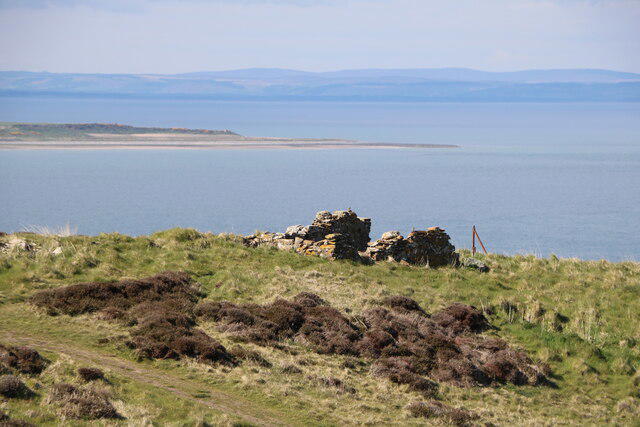 Photo could not load
NX1530 : Old Ruin, Mull of Galloway
Billy McCrorie
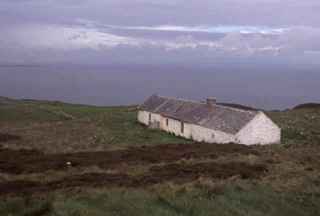 Photo could not load
NX1530 : Mull of Galloway
Stephen McKay
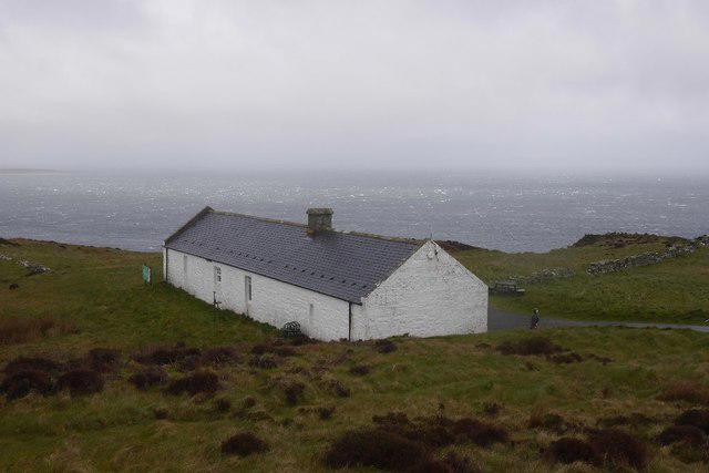 Photo could not load
NX1530 : RSPB visitor centre, Mull of Galloway
Richard Webb
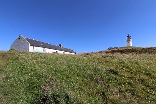 Photo could not load
NX1530 : RSPB Visitors Centre & Lighthouse
Billy McCrorie
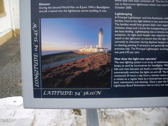 Photo could not load
NX1530 : A lighthouse information board
Stanley Howe
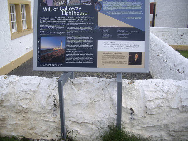 Photo could not load
NX1530 : Lighthouse information board
Stanley Howe
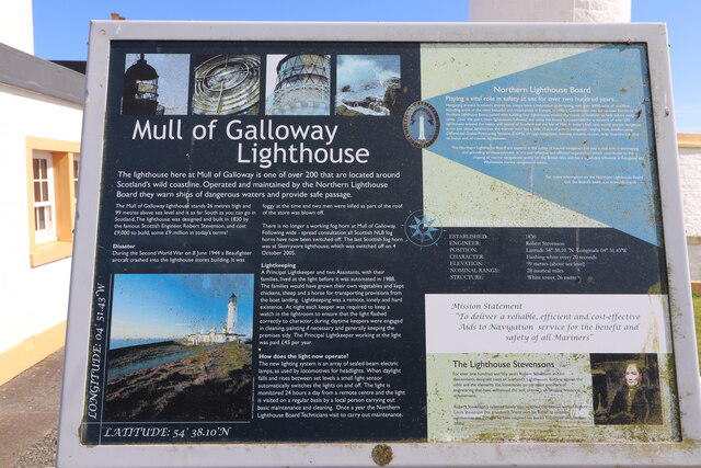 Photo could not load
NX1530 : History of Mull of Galloway Lighthouse
Billy McCrorie
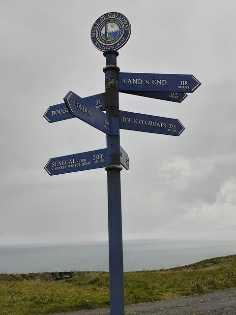 Photo could not load
NX1530 : Sign Mull of Galloway
Mrs W J Sutherland
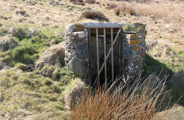 Photo could not load
NX1530 : Old Well, Mull of Galloway
Billy McCrorie
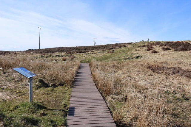
NX1530 : Circular Walk, Mull of Galloway
Billy McCrorie
Hill facts and local notes
Classifications
Elevation
85m
279 ft
Prominence
63m
Coordinates
54.6354, -4.8573
NX156304
OS Map
82
Explorer: 309S
At the Summit
The summit features a prominent trig point and offers a panoramic view over the surrounding area, including the Isle of Man on clear days. It’s also a great spot for spotting seabirds!
Terrain & Geology
The Mull of Galloway is primarily composed of relatively soft sedimentary rocks, including sandstone and shales, formed during the Carboniferous period. Enjoy the dramatic cliffs which are a stunning backdrop for your adventure!
Views & Scenery
From the summit, you can see the Isle of Man, Ireland, and the stunning Solway Firth. Keep an eye out for the rare birds that call this place home.
History & Heritage
Name Origin
The name 'Mull of Galloway' derives from Scots Gaelic, meaning 'the hill of Galloway'. It's the southernmost point of Scotland.
Historical Significance
Historically, this area was a crucial lookout point, and the lighthouse, built in 1830, has guided mariners safely through the treacherous waters.
Getting There & Facilities
Parking
There is a small car park near the Mull of Galloway Lighthouse, which offers access to trails. Space is limited, so arrive early to secure a spot.
Public Transport
The nearest regular public transport links are in Stranraer, approximately 30 minutes away by car. Local taxis offer a convenient way to reach the area.
Nearby Facilities
Nearby facilities include the Mull of Galloway Visitor Centre, which offers refreshments and toilets. A cafe is located near the lighthouse for a well-deserved cup of tea after your hike.
Safety Information
Known Hazards
- Be cautious of the steep cliffs, especially in windy conditions. Coastal paths can be slippery and hazardous after rain.
General Safety Tips
- Check weather conditions before setting out
- Carry appropriate clothing and equipment
- Let someone know your planned route
- Take a map, compass, and GPS device
- Carry emergency supplies: food, water, first aid kit, torch
Hills
Some common questions about the hills answered
Are there group walks up Mull of Galloway?
Many walkers use Walkmates to join or organise walks with others. You can check for group walks around Mull of Galloway through the maps
Are there other walkers around Mull of Galloway?
Activity varies by location and time, but Walkmates lets you see whether others have shared walks or shown interest in this area. Find other people through the walking friends search walking friends for Mull of Galloway search or of course create your own walk for Mull of Galloway
Can I organise a walk to Mull of Galloway?
Yes. If there aren’t any walks listed already, you can create a walk and make it available for others to join.
If you're signed up to Walkmates, you can create a walk to Mull of Galloway.
How do I find a walk up this hill?
There are often multiple ways to walk this hill, depending on experience and route preference. Walkmates helps you explore walks and routes that others have shared.
Can I suggest a new route up Mull of Galloway?
Yes. You can suggest or create routes to share with others. Walkmates focuses on the social side of walking, so routes are used to help people organise walks and explore areas together, rather than as detailed navigation tools or route libraries.
Other uses really appreciate knowledgeable walkers sharing their routes. Share your favourite route to Mull of Galloway here
The is an error or something incorrect about this hill. How do I let you know?
We always strive to keep the information on Walkmates as accurate as possible. If you find an error, please let us know through the contact form and we'll aim to correct it as quickly as possible
Community Discussion
Comments
Location
View the hill's mapped position and surrounding paths.
Grid reference: NX156304
View on OpenStreetMapOpens a map in a new tab, centred on the hill.
No comments yet. Be the first.