
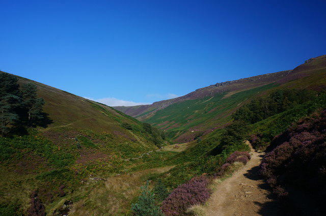
Upland / Hill
Circular
Hard
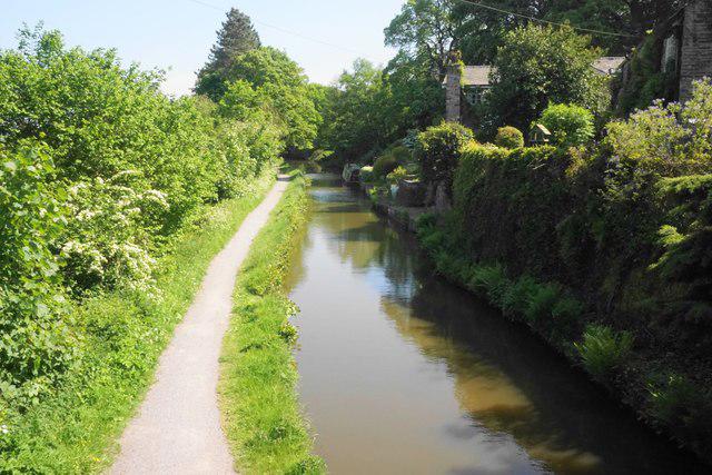
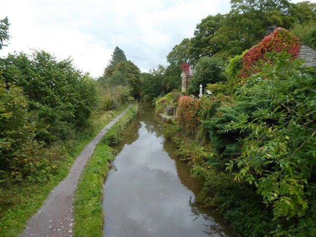
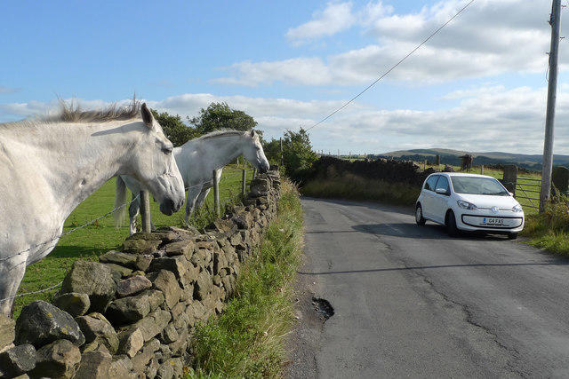
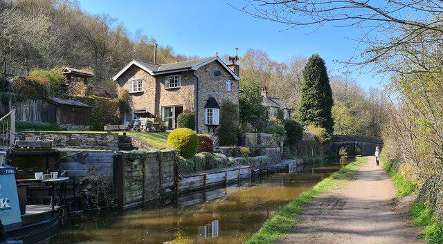
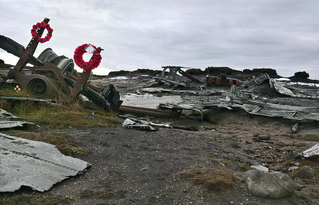
Old Glossop and Bleaklow Head Circular with B-29 Crash Site
PaulWalkmates
Walk organiser

No comments yet. Be the first.