

Upland / Hill
Circular
Easy
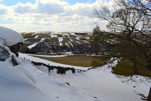
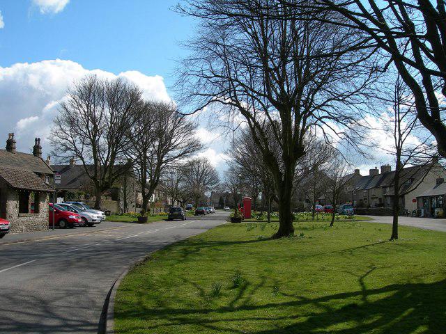
Mam Tor Circular via Blue John Cafe and Cavern
PaulWalkmates
Walk organiser
No comments yet. Be the first.