

Knockdolian
Good walks are even better shared.
NX1184 : Knockdolian View
Mary and Angus Hogg Photo source
Overview
Knockdolian: A Hidden Gem in the Southern Uplands
Nestled within the beautiful Southern Uplands, Knockdolian stands at an impressive 355 meters above sea level, offering both novice and seasoned hikers a delightful adventure. The mountain is classified as a Marilyn, thanks to its prominence which rewards the climber with breathtaking vistas.
Geology
The fascinating geological make-up of Knockdolian consists of sandstone and mudstone. The gentle slopes and rocky outcrops tell a tale of erosion and natural beauty, making for a picturesque landscape.
Routes
East Kilbride Path
This is a popular route among local hikers. It begins at a layby on the A713 and meanders through attractive meadows and woodland areas before making a steady ascent to the summit. The walk typically takes around 1.5 hours, ensuring you can still grab an afternoon tea.
Coastal Path
For those who fancy a little detour, the Coastal Path offers stunning panoramas of the Solway Firth and adds a bit of character to your hike. This route takes about 2.5 hours but is worth it for the views alone!
Summit Features
At the top, you will find a modest cairn and a trig point, perfect for a snapshot. It's a popular point for hikers to regale tales of their adventures (or misadventures!) while enjoying the sweeping views.
Terrain
Expect grassy slopes with some rocky outcrops. The ground is generally firm but beware of any hidden bogs lurking just out of sight, ready to test your sense of humour!
Views
On a clear day, the vista from the summit is nothing short of spectacular. You’ll be treated to sights of the majestic Lake District and sprawling greenery. Spring and autumn yield the best views, while winter brings an enchanting frost.
Hazards
While the hike is manageable, care should be taken on sections after wet weather, due to slippery pathways. Also, watch out for livestock that may insist on getting in your way!
Nearby Summits
For those keen to explore further, nearby summits like Borgue Hill and Trofie Hill provide additional walking options, each with its own unique charm.
Access and Facilities
Parking is available in a small layby on the A713, but amenities are limited. The nearest town, Dailly, is a short drive or reasonable walk away, where you can find small shops and a café to recharge.
History
Etymologically, 'Knockdolian' hails from Gaelic roots, and adds a layer of mystique to your hike. Historically, the area is rich in stories and folklore, creating an enchanting atmosphere.
Whether you're a seasoned hiker or just starting out, Knockdolian serves as a fantastic backdrop for a day spent in nature. Bring your sandwiches, a friend or two, and don't forget your camera!
Explore routes near Knockdolian
Walks starting near this hill. Open a route to check its map, distance and full itinerary.
Glentrool Water of Trool and Spout Head Trail
View route
Loch Trool: Full Loch and Oak Woodland Circuit
View route
Wood of Cree Waterfalls and Scrubland Circuit
View route
Carrick Forest Drive: Stinchar Bridge to Loch Doon
View route
Route planning notes
These notes describe possible approaches. Check a route's map and access information when planning your walk.
East Kilbride Path
A well marked path starting from the small layby off the A713, this route winds pleasantly around the lower slopes before a gentle ascent to the summit.
Coastal Path
This scenic alternative starts from the nearby coast and offers stunning views of the Solway Firth, with a slightly longer approach via field paths.
Make a day of it, together
Find someone to share the walk with, or organise a day out along a route you like.
Photo Gallery
View all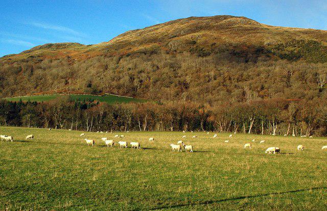 Photo could not load
NX1184 : Knockdolian View
Mary and Angus Hogg
 Photo could not load
NX1184 : Loch Melemon View
Mary and Angus Hogg
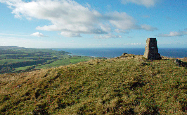 Photo could not load
NX1184 : Ballantrae View
Mary and Angus Hogg
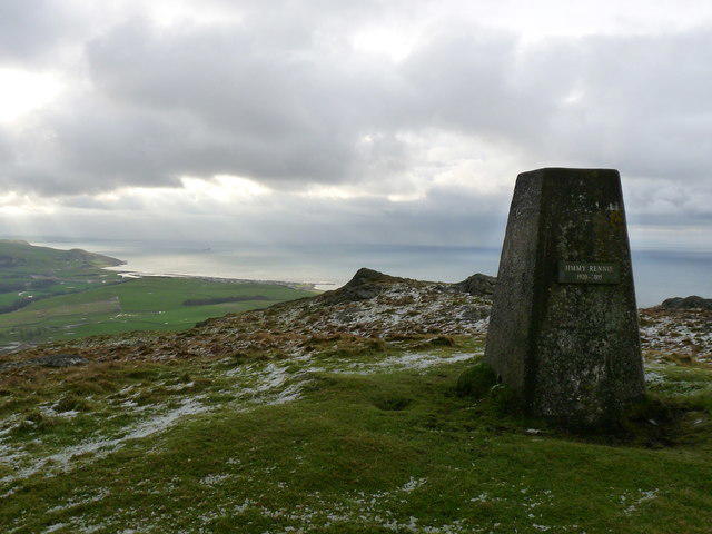 Photo could not load
NX1184 : Knockdolian Hill
Billy McCrorie
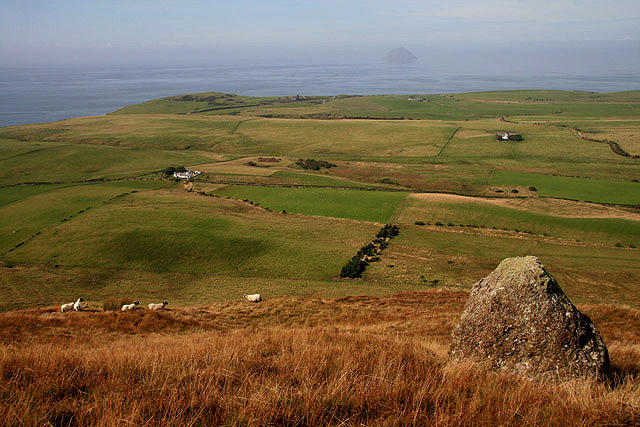 Photo could not load
NX1184 : Rough grazing on Knockdolian
Walter Baxter
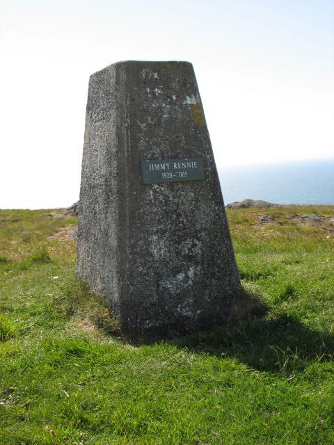 Photo could not load
NX1184 : The plaque on the trig point on Knockdolian
David Purchase
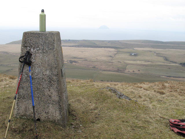 Photo could not load
NX1184 : Knockdolian Summit Trig
Rude Health
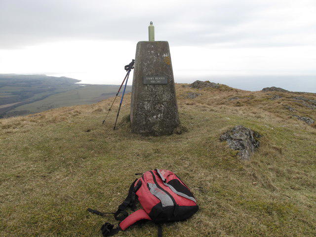 Photo could not load
NX1184 : Knockdolian Summit
Rude Health
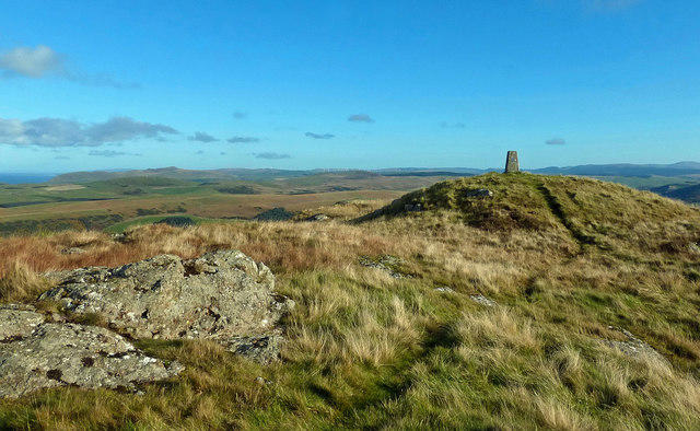 Photo could not load
NX1184 : Knockdolian Trig Point
Mary and Angus Hogg
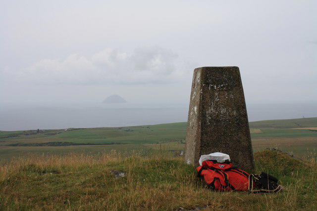
NX1184 : Knockdolian trig
Colin Kinnear
Hill facts and local notes
Classifications
Elevation
265m
869 ft
Prominence
202m
Coordinates
55.1216, -4.9603
NX113848
OS Map
76
Explorer: 317
At the Summit
The summit hosts a modest cairn and provides a trig point for those who love to tick off their Bagging list. Perfect for a photo-op, even if it does look a bit windswept!
Terrain & Geology
The slopes of Knockdolian are predominantly composed of sedimentary rocks, including sandstone and mudstone, which have shaped the delightful contours of this hill. Its geological history offers a fascinating insight into the complex processes that formed the Southern Uplands.
Views & Scenery
On a clear day, the views stretch across the Solway Firth to the Lake District hills, making it a fantastic picnic spot for any avid explorer or sandwich enthusiast.
History & Heritage
Name Origin
The name 'Knockdolian' is derived from the Gaelic term 'Cnoc Dallain', meaning 'hill of the little blind one', which has a rather amusing ring to it.
Historical Significance
Historically, the area is known for its ancient farming practices, and the local folklore adds a bit of magic to the experience.
Getting There & Facilities
Parking
There is a small lay-by on the A713, just south of the entrance to the path. No facilities, so plan ahead!
Public Transport
The nearest bus stop is in the village of Dailly, about 5 km away. A good pair of walking shoes and a sense of adventure are recommended for the trek to the start.
Nearby Facilities
The nearby village offers basic amenities, including a charming café and a small shop for supplies, although for a proper cuppa, head to the next village if time allows.
Safety Information
Known Hazards
- Care should be taken on steep parts of the route, especially after rain, as they can become slippery. Watch for livestock in fields and the occasional sheep who doesn't know its place!
General Safety Tips
- Check weather conditions before setting out
- Carry appropriate clothing and equipment
- Let someone know your planned route
- Take a map, compass, and GPS device
- Carry emergency supplies: food, water, first aid kit, torch
Hills
Some common questions about the hills answered
Are there group walks up Knockdolian?
Many walkers use Walkmates to join or organise walks with others. You can check for group walks around Knockdolian through the maps
Are there other walkers around Knockdolian?
Activity varies by location and time, but Walkmates lets you see whether others have shared walks or shown interest in this area. Find other people through the walking friends search walking friends for Knockdolian search or of course create your own walk for Knockdolian
Can I organise a walk to Knockdolian?
Yes. If there aren’t any walks listed already, you can create a walk and make it available for others to join.
If you're signed up to Walkmates, you can create a walk to Knockdolian.
How do I find a walk up this hill?
There are often multiple ways to walk this hill, depending on experience and route preference. Walkmates helps you explore walks and routes that others have shared.
Can I suggest a new route up Knockdolian?
Yes. You can suggest or create routes to share with others. Walkmates focuses on the social side of walking, so routes are used to help people organise walks and explore areas together, rather than as detailed navigation tools or route libraries.
Other uses really appreciate knowledgeable walkers sharing their routes. Share your favourite route to Knockdolian here
The is an error or something incorrect about this hill. How do I let you know?
We always strive to keep the information on Walkmates as accurate as possible. If you find an error, please let us know through the contact form and we'll aim to correct it as quickly as possible
Community Discussion
Comments
Location
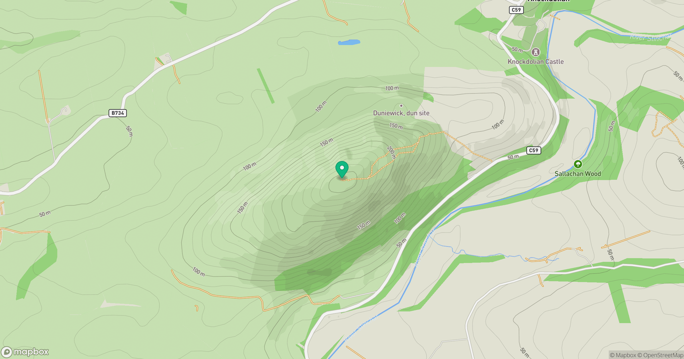
Grid reference: NX113848
View on OpenStreetMapOpens a map in a new tab, centred on the hill.
No comments yet. Be the first.