

Hollingworth Hill
Good walks are even better shared.
SD9414 : Pig Farming Trial at Syke
Kevin Waterhouse Photo source
Overview
Hollingworth Hill: A Gem of the Pennines
Hollingworth Hill is a pleasant and accessible summit tucked away in the Pennines, near Littleborough, England. At an elevation of 160 meters, it may not be the tallest hill in the region, but its charm and the stunning views from the top are certainly worth the trek.
Geology
Nestled in a region rich with millstone grit, Hollingworth Hill features varied terrain with rocky outcrops and grassy knolls, perfect for those who enjoy a bit of a scramble. The gritstone provides not just a challenge on the ascent but also opportunities for climbers looking for a rock face to test their skills.
Access
To access Hollingworth Hill, head to the Hollingworth Lake Visitor Centre where you'll find ample parking (nominal fee applies). Public transport is a breeze here, with regular bus services connecting you from Rochdale to the lake area. If you're coming from nearby Littleborough, you’ll find it a gentle amble - perfect for warming up before the climb!
Routes
The most popular route starts at Hollingworth Lake itself. This 4.2 km trail winds through pretty woodlands and open fields, taking around 1.5 hours to complete at a moderate pace. Pack a picnic and make a day of it!
Summit Features
When you reach the top, you'll be greeted by a stone cairn and a trig point. The summit is an excellent picnic spot where you can soak in the panoramic views. Perfect for a photo opportunity, just be sure to include the cairn in your shot – it gets jealous!
Views
The vistas from Hollingworth Hill are simply spectacular. You can catch a glimpse of the Greater Manchester skyline and the sprawling Pennine hills all around. Spring and Autumn are particularly enchanting seasons to visit, with vibrant colours and clearer skies.
Hazards
While the hike is generally safe, do watch out for the local sheep - they have been known to hold up traffic (read: hikers)! The paths can be slippery in wet weather, so sturdy footwear is recommended.
Nearby Summits
If you have the energy to explore further, nearby summits include the slightly lower Cock Hill and the more lofty Saddleworth Moor, which offers additional hiking opportunities.
Facilities
Once back down, treat yourself to a hearty cake and cup of tea at the Hollingworth Lake Activity Centre. The café also has toilets available, ensuring you're ready for the next adventure!
History
The name 'Hollingworth' holds historical significance, believed to translate to 'enclosure of the hollow.' The valley has also been an important site for early industry due to its proximity to water. A riveting spot for both history buffs and nature lovers alike!
In conclusion, Hollingworth Hill is a delightful destination for hikers of all levels. Not only does it offer challenges and stunning views, but it also provides a glimpse into the rich cultural and geological heritage of the Pennines. So grab your walking boots, pack a picnic, and enjoy the exploration!
Happy hiking!
Explore routes near Hollingworth Hill
Walks starting near this hill. Open a route to check its map, distance and full itinerary.
Rochdale Walk with Men Walking & Talking
View route
Marsden to Slaithwaite Canal Walk
View route
Scammonden Reservoir Circuit
View route
Hardcastle Crags Estate Track to Gibson Mill
View route
Route planning notes
These notes describe possible approaches. Check a route's map and access information when planning your walk.
Hollingworth Lake to Hollingworth Hill
A scenic route starting from the picturesque Hollingworth Lake, navigating through woodland and pastures, leading up to the summit of Hollingworth Hill.
Make a day of it, together
Find someone to share the walk with, or organise a day out along a route you like.
Photo Gallery
View all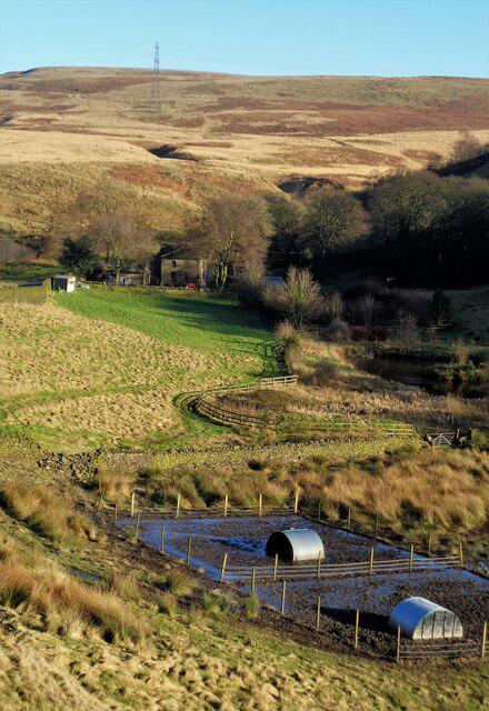 Photo could not load
SD9414 : Pig Farming Trial at Syke
Kevin Waterhouse
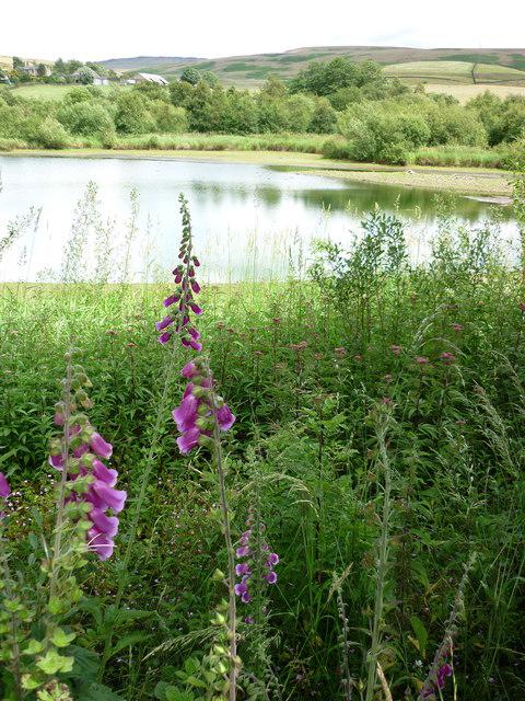 Photo could not load
SD9414 : Hollingworth Lake nature reserve
Carroll Pierce
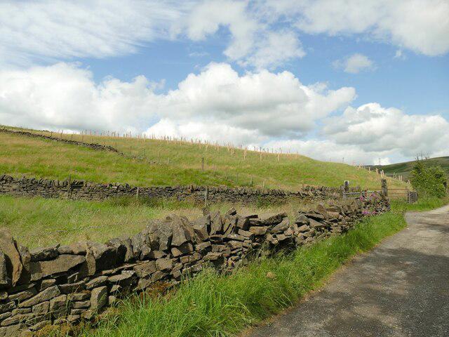 Photo could not load
SD9414 : Tree planting on Hollingworth Hill
Stephen Craven
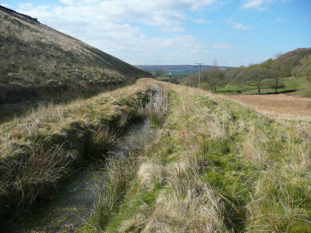 Photo could not load
SD9415 : Footpath alongside the Hollingworth 'Canal Drain', Littleborough
Humphrey Bolton
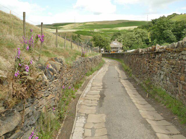 Photo could not load
SD9414 : Syke Road
Stephen Craven
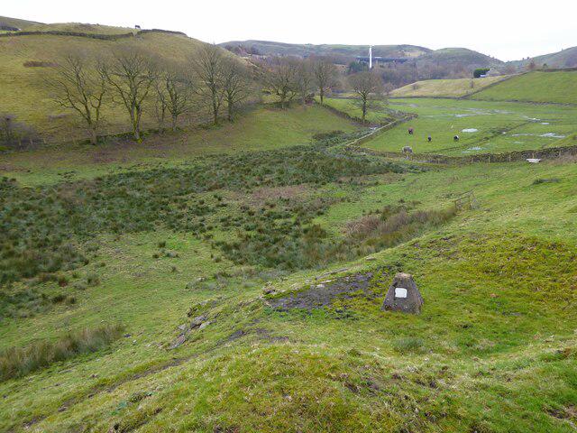 Photo could not load
SD9414 : Capped shaft off Syke Road
Kevin Waterhouse
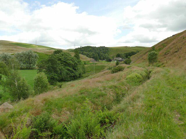 Photo could not load
SD9415 : Path alongside the catchwater
Stephen Craven
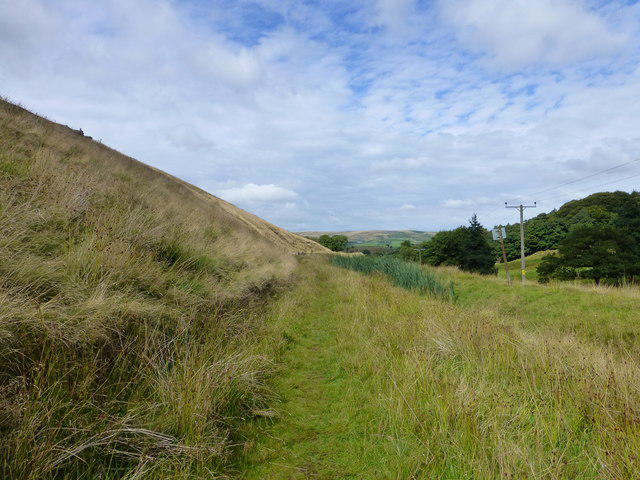 Photo could not load
SD9415 : The path to Brearley
Raymond Knapman
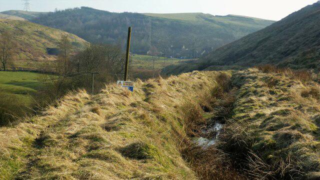 Photo could not load
SD9415 : Rochdale Canal Feed around Hollingworth Hill
Kevin Waterhouse
Hill facts and local notes
Classifications
Elevation
223m
732 ft
Prominence
38m
Coordinates
53.6318, -2.0836
SD945150
OS Map
109
Explorer: OL21S
At the Summit
The summit boasts a large stone cairn and a small trig point, offering an excellent vantage point for photos. Don't forget to wave to the folks below!
Terrain & Geology
Hollingworth Hill is predominantly composed of millstone grit, a characteristic rock formation in the region, which provides an interesting craggy landscape perfect for climbing enthusiasts. The gritstone formations can be a delightful challenge for the adventurous.
Views & Scenery
From the summit, you can enjoy panoramic views of the Greater Manchester skyline, the rolling hills of the Pennines, and on clear days, even as far as the Peak District.
History & Heritage
Name Origin
The name 'Hollingworth' is believed to derive from Old English, meaning 'enclosure of the hollow'.
Historical Significance
Historically, the area has been a notable site for early industrial activity due to its proximity to water sources, particularly the nearby Hollingworth Lake.
Getting There & Facilities
Parking
Hollingworth Lake Visitor Centre has ample parking available for a small fee, with great facilities for visitors.
Public Transport
Regular bus services run from Rochdale to Hollingworth Lake, making it a convenient starting point for your hike.
Nearby Facilities
Nearby facilities include the Hollingworth Lake Activity Centre, featuring a café and toilets. Perfect for a pre- or post-walk cuppa. Bring a cake, you’ll have earned it!
Safety Information
Known Hazards
- Be cautious of sheep on the paths - they might be more interested in watching you than moving out of the way! Wet conditions can make the terrain slippery.
General Safety Tips
- Check weather conditions before setting out
- Carry appropriate clothing and equipment
- Let someone know your planned route
- Take a map, compass, and GPS device
- Carry emergency supplies: food, water, first aid kit, torch
Hills
Some common questions about the hills answered
Are there group walks up Hollingworth Hill?
Many walkers use Walkmates to join or organise walks with others. You can check for group walks around Hollingworth Hill through the maps
Are there other walkers around Hollingworth Hill?
Activity varies by location and time, but Walkmates lets you see whether others have shared walks or shown interest in this area. Find other people through the walking friends search walking friends for Hollingworth Hill search or of course create your own walk for Hollingworth Hill
Can I organise a walk to Hollingworth Hill?
Yes. If there aren’t any walks listed already, you can create a walk and make it available for others to join.
If you're signed up to Walkmates, you can create a walk to Hollingworth Hill.
How do I find a walk up this hill?
There are often multiple ways to walk this hill, depending on experience and route preference. Walkmates helps you explore walks and routes that others have shared.
Can I suggest a new route up Hollingworth Hill?
Yes. You can suggest or create routes to share with others. Walkmates focuses on the social side of walking, so routes are used to help people organise walks and explore areas together, rather than as detailed navigation tools or route libraries.
Other uses really appreciate knowledgeable walkers sharing their routes. Share your favourite route to Hollingworth Hill here
The is an error or something incorrect about this hill. How do I let you know?
We always strive to keep the information on Walkmates as accurate as possible. If you find an error, please let us know through the contact form and we'll aim to correct it as quickly as possible
Community Discussion
Comments
Location
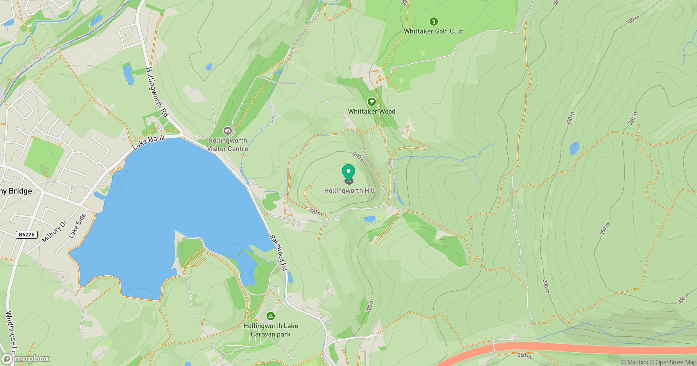
Grid reference: SD945150
View on OpenStreetMapOpens a map in a new tab, centred on the hill.
Nearby Hills

Pendle Hill
557m

Kinder Scout
636m
Rombalds Moor [Ilkley Moor]
402m
Winter Hill
456m
The Roaches
505m
No comments yet. Be the first.