PointToPoint
Easy
White Edge, Curbar Edge, Froggatt Edge loop.
Cerbykev
Walk organiser

Higger Tor Group Walks | Join a Walk
Join group walks, find walking companions and friends, or organise your own!
Don't walk alone! Find friendly walkers to explore Higger Tor together. Join scheduled group walks or start your own.
Elevation
435m
1,427 ft
Prominence
22m
Coordinates
53.3338, -1.6151
SK257819
OS Map
110
Explorer: OL1E
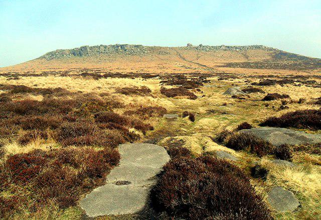
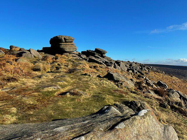
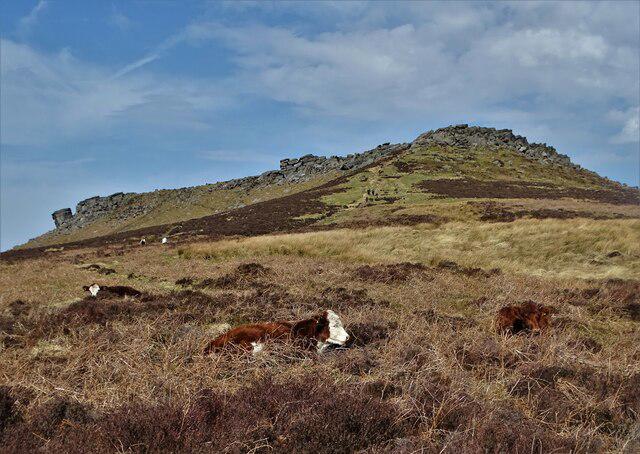
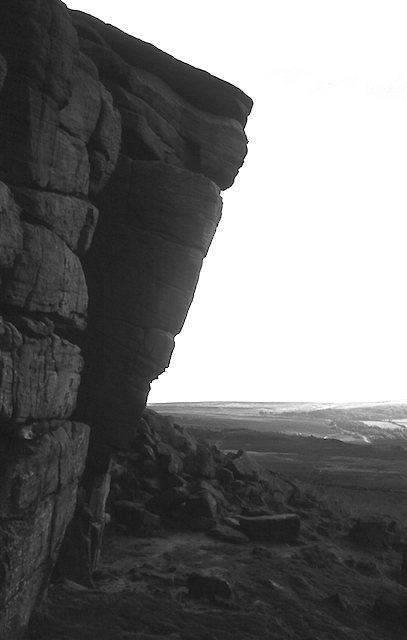
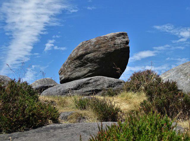
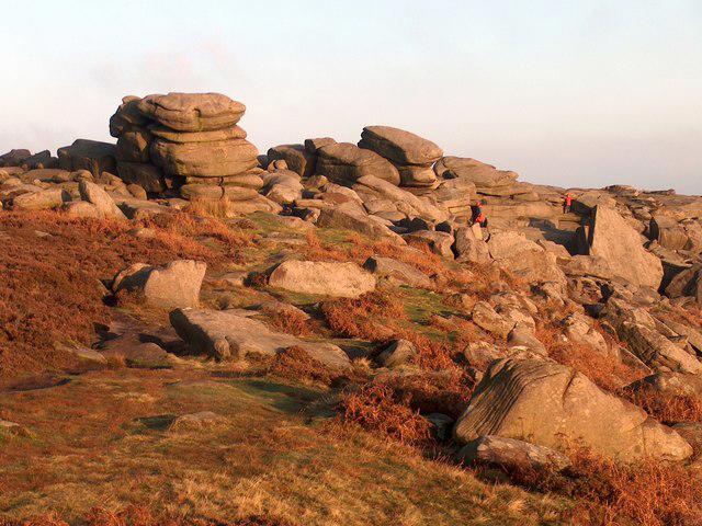
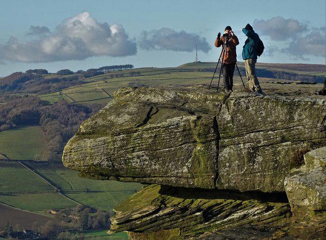
The summit features impressive gritstone outcrops, a trig point, and extensive views across the moorlands of the Peak District.
Higger Tor is primarily composed of gritstone, which is the result of sedimentation during the Carboniferous period. The characteristic weathering of the rock has formed many striking outcrops and boulders, ideal for climbers and bashful picnickers alike.
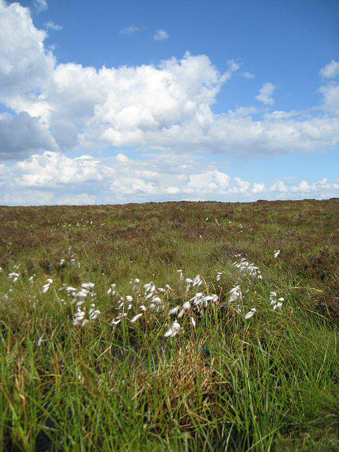
Breathtaking views over the surrounding moors, including the distant Derwent Valley and the iconic Stanage Edge.
The name 'Higger' may derive from 'Higger Tor,' where 'tor' is a traditional term for a rocky outcrop, showcasing local dialect.
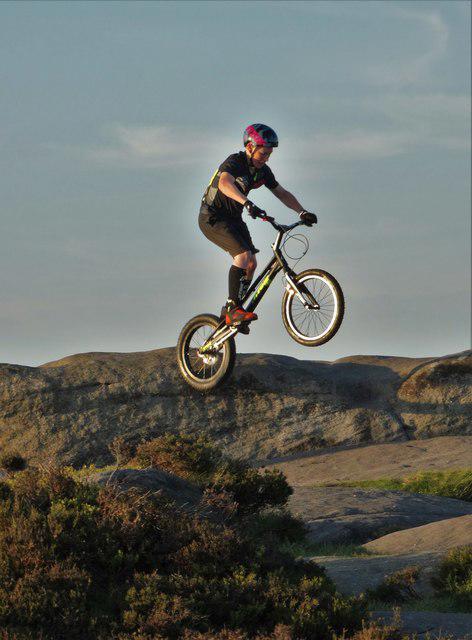
The area has historical significance as a meeting point for local communities, and it is a favourite for climbers and walkers throughout the year.
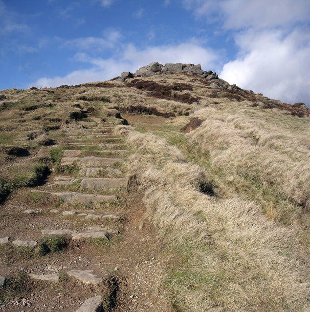
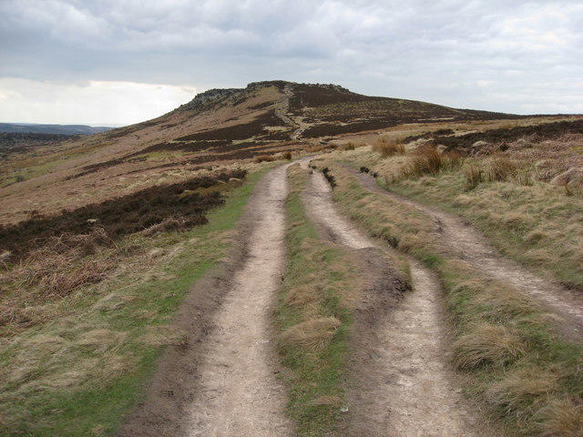
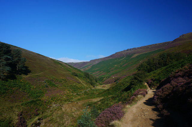
This popular circular walk starts at the car park near Burbage Bridge and takes you to Higger Tor, offering stunning views of the surrounding moorland. From there, continue to the Iron Age hillfort of Carl Wark before looping back via the Burbage Valley. The route is well-defined and offers a blend of rocky features and open heathland.
Starting from the car park at Hook’s Car, this route combines two iconic Dark Peak features: Higger Tor and Stanage Edge. Ascend to Higger Tor for panoramic views, then follow the path to Stanage Edge, famous for its gritstone cliffs and climbers. The return route leads back through moorland paths and quiet tracks.
This shorter route begins near Upper Burbage Bridge and climbs directly to Higger Tor. After taking in the views, descend towards Burbage Rocks and follow the easy, flat path back along the Burbage Valley. Ideal for a quick exploration of the area’s highlights.
Starting at Fox House, this extended route takes you through the scenic Padley Gorge before ascending to Higger Tor. The walk includes woodland trails, open moorland, and rocky outcrops, providing a diverse and rewarding experience. The loop returns via Burbage Valley.
This short but steep early morning hike starts at the small parking area near Burbage Bridge. Ascend Higger Tor to catch stunning sunrise views over the Peak District, then descend back the same way. A great choice for photographers and early risers.
Longshaw Estate car park, accessible via the A6187, which has toilet facilities and ample space.
Buses run from nearby towns such as Sheffield to the Longshaw Estate, with some daily services.
Cafés and toilets available at Longshaw Estate; bring your own biscuits for a proper picnic on the summit.
Join friendly walkers exploring Higger Tor and surrounding area
More walks starting close to this area

Create a walk and let others join you. It's free and easy!
Some common questions about the hills answered
Many walkers use Walkmates to join or organise walks with others. You can check for group walks around Higger Tor through the maps
Activity varies by location and time, but Walkmates lets you see whether others have shared walks or shown interest in this area. Find other people through the walking friends search walking friends for Higger Tor search or of course create your own walk for Higger Tor
Yes. If there aren’t any walks listed already, you can create a walk and make it available for others to join.
If you're signed up to Walkmates, you can create a walk to Higger Tor.
There are often multiple ways to walk this hill, depending on experience and route preference. Walkmates helps you explore walks and routes that others have shared.
Yes. You can suggest or create routes to share with others. Walkmates focuses on the social side of walking, so routes are used to help people organise walks and explore areas together, rather than as detailed navigation tools or route libraries.
Other uses really appreciate knowledgeable walkers sharing their routes. Share your favourite route to Higger Tor here
We always strive to keep the information on Walkmates as accurate as possible. If you find an error, please let us know through the contact form and we'll aim to correct it as quickly as possible
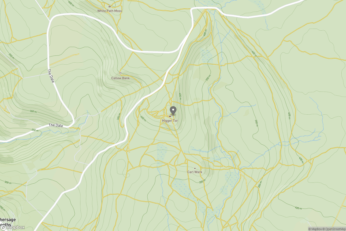
Grid Ref: SK257819
Kinder Scout
636m
The Roaches
505m
Rombalds Moor [Ilkley Moor]
402m
Pendle Hill
557m
Winter Hill
456m
+ 5 more nearby hills
Find more walking companions in the area
No comments yet. Be the first.