

Haystacks (Buttermere)
Good walks are even better shared.
Overview
Haystacks is a 597 m Wainwright above Buttermere in the Lake District's Western Fells. Its rocky summit, Innominate Tarn and views towards Pillar and Great Gable make it a memorable fell walk. Approaches include Scarth Gap, with short scrambling sections, and the rough eastern path from Honister Pass via Dubs Quarry.
Haystacks (Buttermere)
Haystacks is a 597 m fell in the Lake District's Western Fells, above the south-eastern end of Buttermere. Its rocky skyline leads to a surprisingly intricate landscape of little crags, tarns and hollows. It is a Wainwright, Birkett, Dewey and Dodd.
Finding the summit
The recorded highest point is the southern cairn at NY 19335 13151. The northern cairn, about 50 m away at NY 19336 13204, is the Wainwright and Birkett top. The southern point is recorded as about 2 m higher. A small summit tarn lies among the rocks; Innominate Tarn is a separate tarn farther south-east.
Choosing a route
Gatesgarth and Scarth Gap
From Gatesgarth Farm, cross Peggy's Bridge and climb to Scarth Gap, then turn towards Haystacks. The final ascent includes steep rock steps and short sections where hands are needed. A circuit continues past Innominate Tarn and Blackbeck Tarn, then descends towards Warnscale Bottom and returns to Gatesgarth. Returning down Scarth Gap instead requires care on the same scrambling sections.
From Buttermere village
A longer outing combines the lake shore with Haystacks. One option follows the north-eastern shore to Gatesgarth, climbs and descends via Scarth Gap, and returns along the south-western shore through Burtness Wood. Take care on the short road section near Gatesgarth. Starting in the village adds substantial lakeside walking compared with Gatesgarth.
From Honister Pass
The approach via the old quarry incline and Dubs Quarry reaches Haystacks from the east, passing Blackbeck Tarn and Innominate Tarn. Returning the same way brings you back to Honister, with a climb out of Dubs Quarry on the return. This avoids the Scarth Gap rock steps, but still crosses rough ground and a beck that can be difficult after heavy rain.
Longer fell combinations
Fleetwith Pike can be linked through the quarry paths near Dubs. A much more demanding ridge day links Red Pike, High Stile and High Crag, descends Gamlin End and Seat to Scarth Gap, and climbs Haystacks before returning via the tarns, Warnscale Bottom and Gatesgarth. Allow for the extra ascent and a full day's mountain walking.
Terrain and conditions
Expect rocky paths, loose stones, steep steps and wet hollows. The summit's many knolls and paths need careful navigation in mist. Keep clear of crag edges and take particular care on wet rock. Snow and ice can make the scrambling significantly more serious; choose a route suited to your skills, equipment and the day's conditions. Carry navigation equipment, waterproofs and a headtorch, and allow enough daylight for the return.
Tarns, rock and views
The Haystacks Andesite Member belongs to the Borrowdale Volcanic Group. Its andesite lavas include flow banding and columnar joints, with breccias and some volcaniclastic sedimentary beds. The small summit tarn, Innominate Tarn and Blackbeck Tarn give the fell much of its character. Viewpoints take in Buttermere and Crummock Water, the High Stile ridge, Ennerdale, Pillar and Great Gable; Scafell Pike is visible in clear conditions.
Alfred Wainwright
Haystacks was a favourite of guidebook writer Alfred Wainwright. His ashes were scattered beside Innominate Tarn in 1991, fulfilling his wish. A memorial to him is in St James's Church, Buttermere.
Access and facilities
Paid parking at Gatesgarth Farm suits the Scarth Gap and Warnscale routes. Buttermere village and Honister Pass offer alternative starting points, including National Trust pay-and-display car parks. Check the signs for current charges and conditions, and keep farm entrances and the narrow roads clear.
Buttermere village has cafes, pubs and public toilets. Stagecoach's seasonal 77/77A Honister Rambler links Keswick with Buttermere and Honister; check the current timetable, service updates and last return before setting out.
Explore routes near Haystacks (Buttermere)
Walks starting near this hill. Open a route to check its map, distance and full itinerary.
Scafell Pike from Seathwaite via the Corridor Route
View route
Scafell Pike via Brown Tongue and Hollow Stones
View route
Steeple, Scoat Fell and Haycock from Ennerdale
View route
Whinlatter dark skies walk
View route
Route planning notes
These notes describe possible approaches. Check a route's map and access information when planning your walk.
Gatesgarth circular via Scarth Gap and Warnscale
Start at Gatesgarth Farm, cross Peggy's Bridge and climb to Scarth Gap. Turn onto Haystacks, using hands on the short rock steps. Continue past Innominate Tarn and Blackbeck Tarn, then descend via Warnscale Bottom to Gatesgarth. Rough, steep and loose sections need care; beck crossings can be difficult after rain.
Buttermere lake circuit with Haystacks
From St James's Church in Buttermere, follow the north-eastern lakeshore to Gatesgarth, using the short road section carefully. Cross Peggy's Bridge, climb Scarth Gap and scramble onto Haystacks, continuing to Innominate Tarn. Return down the same fell path, then follow the south-western lakeshore through Burtness Wood to the village.
Scarth Gap out-and-back from Gatesgarth
From Gatesgarth Farm, cross Peggy's Bridge and climb to Scarth Gap, then turn onto Haystacks. Return by the same route. The rock steps above the pass require hands in places on both ascent and descent; this is not a simple path-only walk. Take particular care when the rocks are wet or icy.
Haystacks from Honister Pass via Dubs Quarry
From Honister Pass, follow the old quarry incline to Dubs Quarry, cross Warnscale Beck and continue past Blackbeck Tarn and Innominate Tarn to Haystacks. Return the same way to Honister, including the climb out of Dubs Quarry. This avoids the Scarth Gap rock steps but remains rough; the beck may be difficult after rain. The published estimate is 4 hours 10 minutes.
Haystacks and Fleetwith Pike from Gatesgarth
Climb from Gatesgarth via Scarth Gap to Haystacks, then pass the tarns and cross Warnscale Beck towards Dubs and the quarry tracks. Continue over Honister Crag and through the quarry area to Fleetwith Pike. Return via the quarry paths to Dubs and descend to Warnscale Bottom and Gatesgarth. Includes scrambling, loose ground and quarry navigation.
High Stile ridge and Haystacks circuit
From Buttermere village, climb via Bleaberry Tarn to Red Pike, then traverse High Stile and High Crag. Descend steep Gamlin End via Seat to Scarth Gap and scramble onto Haystacks. Continue past the tarns towards Dubs and descend Warnscale Bottom to Gatesgarth, returning along the north-eastern lakeshore. A strenuous full-day route with substantial ascent and rough descents.
Make a day of it, together
Find someone to share the walk with, or organise a day out along a route you like.
Photo Gallery
View all Photo could not load
NY1913 : Pool and marsh on Haystacks
Trevor Littlewood
 Photo could not load
NY1913 : The summit tarn on Haystacks
Ian Greig
 Photo could not load
NY1913 : Haystacks from High Crag, 1971
Jim Barton
 Photo could not load
NY1913 : Haystacks summit cairn
Peter S
 Photo could not load
NY1913 : Small tarn near Hay Stacks
Mike Shepherd
 Photo could not load
NY1913 : Tarn near the summit of Haystacks
David Brown
 Photo could not load
NY1913 : The unnamed tarn near the summit of Hay Stacks
David Medcalf
 Photo could not load
NY1913 : Unnamed summit tarn and approaching snow clouds
Anthony Parkes
 Photo could not load
NY1913 : Summit Cairn, Haystacks
Michael Graham

NY1913 : Summit cairn and tarn at Haystacks
Clint Mann
Hill facts and local notes
Classifications
Elevation
597m
1,959 ft
Prominence
78m
Coordinates
54.5072, -3.2473
NY193131
OS Map
89 90
Explorer: OL4S
At the Summit
The recorded highest point is the southern cairn at NY 19335 13151. The Wainwright/Birkett top is the northern cairn about 50 m away at NY 19336 13204, recorded as about 2 m lower. Rocky ridges enclose a small summit tarn; Innominate Tarn is a separate tarn farther south-east.
Terrain & Geology
Haystacks gives its name to the Haystacks Andesite Member of the Birker Fell Andesite Formation, within the Borrowdale Volcanic Group. The Ordovician rocks include andesite lavas with flow banding and columnar joints, breccias and some bedded volcaniclastic sedimentary rocks.
Views & Scenery
Buttermere and Crummock Water, the High Stile ridge, Ennerdale, Pillar and Great Gable; Scafell Pike in clear conditions. The outlook changes between the summit and the tarns.
History & Heritage
Historical Significance
Haystacks was a favourite of Alfred Wainwright, the guidebook writer and illustrator. In 1991 his ashes were scattered beside Innominate Tarn, fulfilling his wish. St James's Church in Buttermere contains a memorial to him.
Getting There & Facilities
Parking
Gatesgarth Farm at the south-eastern end of Buttermere has paid parking for the Scarth Gap and Warnscale routes. For longer lakeside approaches, use the village car parks, including the National Trust car park just outside Buttermere towards Cockermouth. Honister Pass has parking for the Dubs Quarry approach, including a National Trust car park. Check current charges and restrictions on arrival; keep roads, gates and farm access clear.
Public Transport
Stagecoach's seasonal 77/77A Honister Rambler links Keswick with Buttermere and Honister Pass. Check the current timetable, service updates and last return before travelling; do not assume year-round operation.
Nearby Facilities
Buttermere village has cafes, pubs and public toilets. Check opening times and toilet charges before setting out. Carry the food, water and equipment needed for the fell walk.
Safety Information
Known Hazards
- Short scrambling sections and steep rock steps above Scarth Gap, including on descent
- Slippery rock, loose stones and crag edges
- Confusing summit knolls and paths in mist
- Wet hollows and beck crossings that can become difficult after heavy rain
- Exposed fell weather; carry navigation equipment and suitable clothing
Seasonal Hazards
Snow and ice increase the seriousness of the rocky steps and steep paths. Winter days are short; allow enough daylight and carry a headtorch. Heavy rain can make beck crossings difficult. Check the mountain forecast and choose a route suited to the conditions and your skills.
General Safety Tips
- Check weather conditions before setting out
- Carry appropriate clothing and equipment
- Let someone know your planned route
- Take a map, compass, and GPS device
- Carry emergency supplies: food, water, first aid kit, torch
Hills
Some common questions about the hills answered
Are there group walks up Haystacks (Buttermere)?
Many walkers use Walkmates to join or organise walks with others. You can check for group walks around Haystacks (Buttermere) through the maps
Are there other walkers around Haystacks (Buttermere)?
Activity varies by location and time, but Walkmates lets you see whether others have shared walks or shown interest in this area. Find other people through the walking friends search walking friends for Haystacks (Buttermere) search or of course create your own walk for Haystacks (Buttermere)
Can I organise a walk to Haystacks (Buttermere)?
Yes. If there aren’t any walks listed already, you can create a walk and make it available for others to join.
If you're signed up to Walkmates, you can create a walk to Haystacks (Buttermere).
How do I find a walk up this hill?
There are often multiple ways to walk this hill, depending on experience and route preference. Walkmates helps you explore walks and routes that others have shared.
Can I suggest a new route up Haystacks (Buttermere)?
Yes. You can suggest or create routes to share with others. Walkmates focuses on the social side of walking, so routes are used to help people organise walks and explore areas together, rather than as detailed navigation tools or route libraries.
Other uses really appreciate knowledgeable walkers sharing their routes. Share your favourite route to Haystacks (Buttermere) here
The is an error or something incorrect about this hill. How do I let you know?
We always strive to keep the information on Walkmates as accurate as possible. If you find an error, please let us know through the contact form and we'll aim to correct it as quickly as possible
Community Discussion
Comments
Location
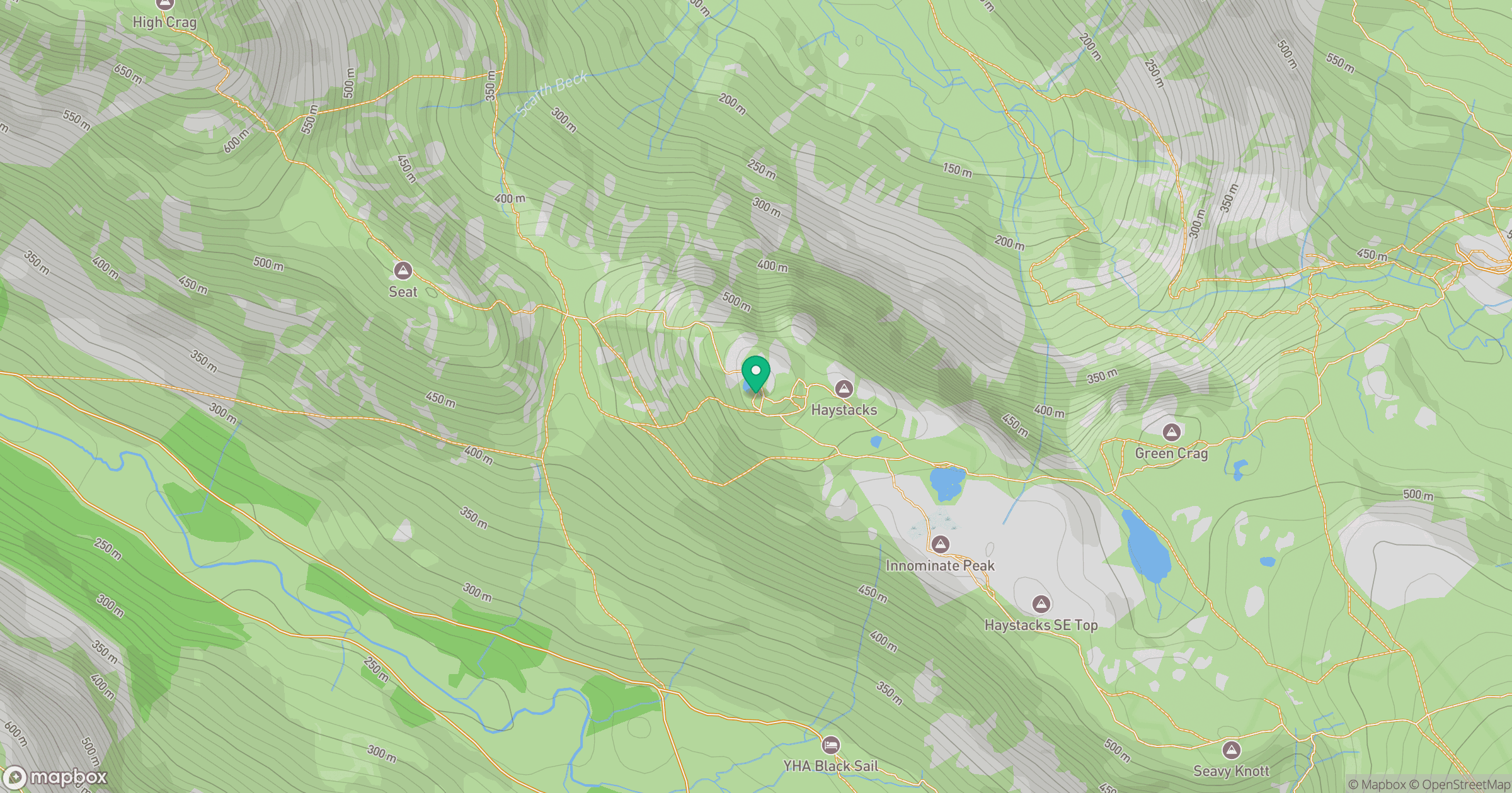
Grid reference: NY193131
View on OpenStreetMapOpens a map in a new tab, centred on the hill.
Nearby Hills
Fleetwith Pike
649m
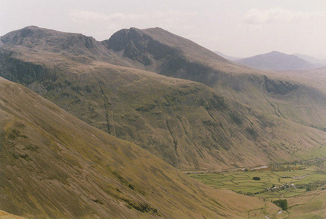
Pillar
892m
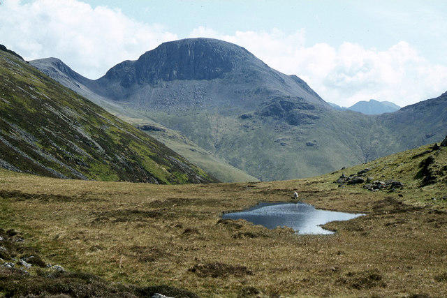
Great Gable
899m
High Stile [Grey Crag - High Stile]
806m
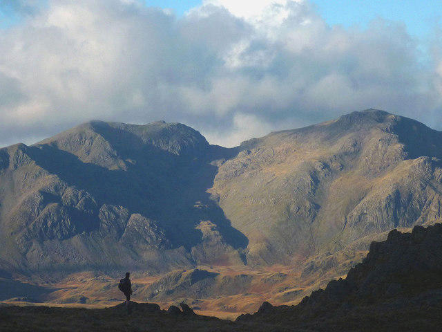
Scafell Pike
978m
No comments yet. Be the first.