
Canal / Riverside
Circular
Medium
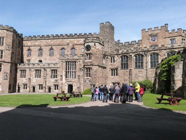
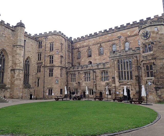
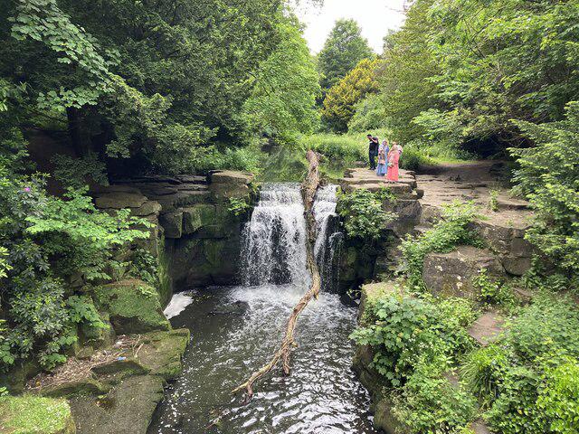
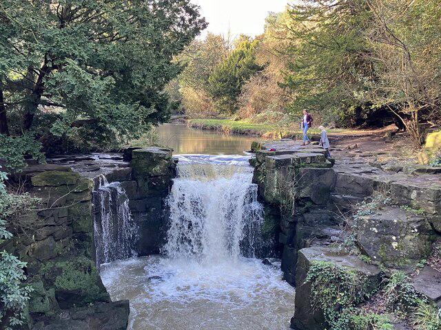
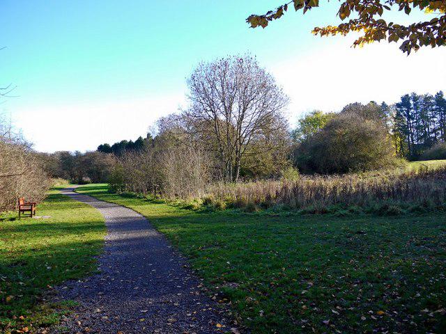
Jesmond Dene (extended) circular
PaulWalkmates
Walk organiser
No comments yet. Be the first.