
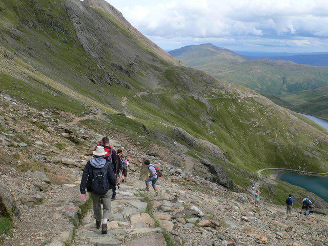
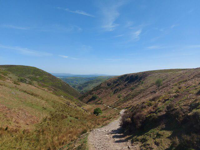
Upland / Hill
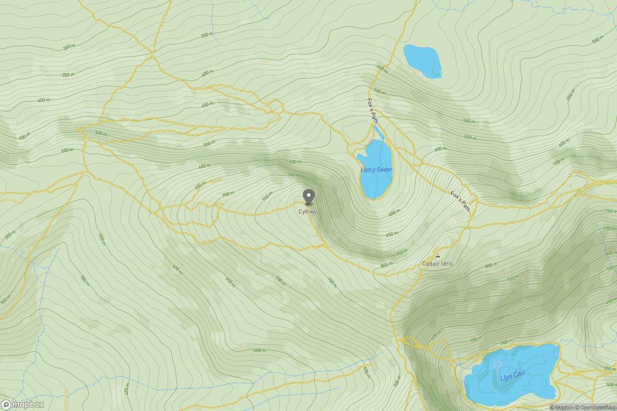
OutAndBack
Hard
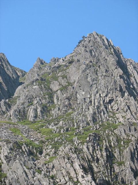
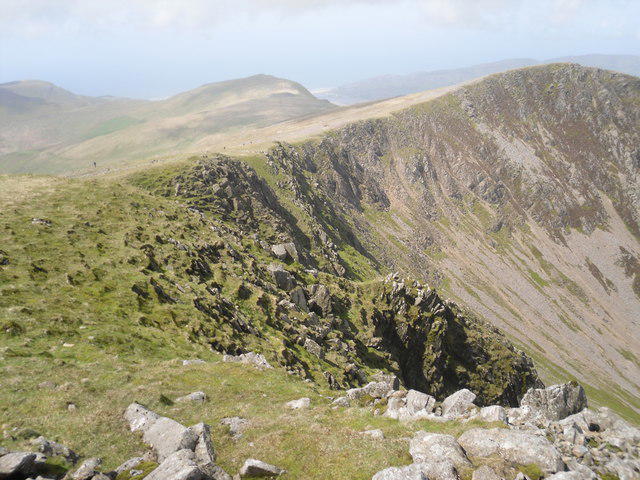
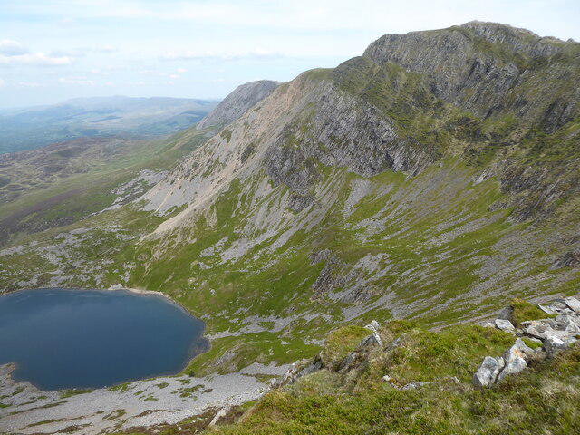
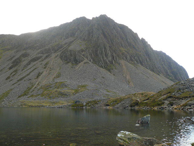
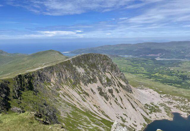
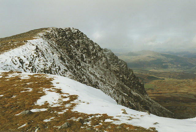
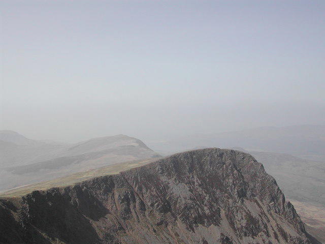
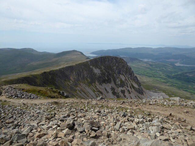
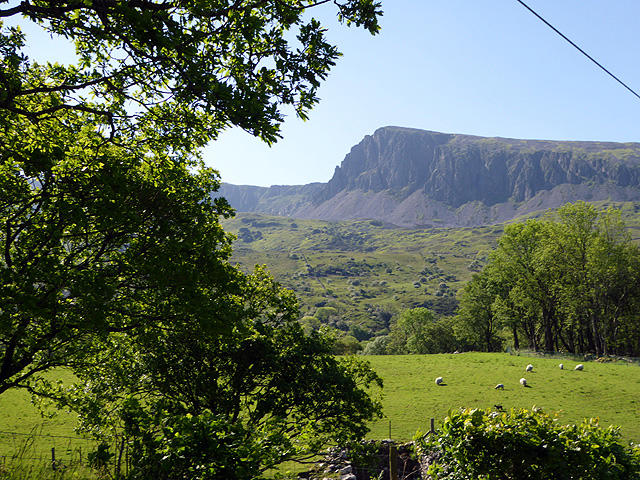
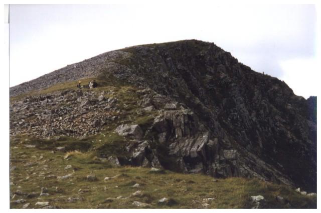
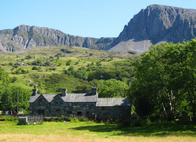
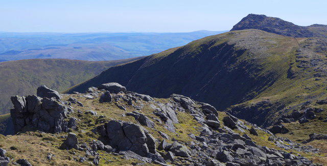
Cadair Idris - Pony Path
PaulWalkmates
Walk organiser
No comments yet. Be the first.