

Cunswick Scar
Good walks are even better shared.
SD4994 : Stile on Cunswick Scar
David Brown Photo source
Overview
Cunswick Scar
Overview
Cunswick Scar is a delightful Marilyn in the heart of the Lake District, captivating hikers with its stunning views and a manageable ascent. At 215 meters, it may not be the highest, but it is certainly charming.
Geology
This limestone crag showcases unique rock formations, lending itself to an ecosystem rich in biodiversity. If you're into geology, this spot won't disappoint!
Route Information
The most popular route is the 'Cunswick Scar Loop', which starts at Kendal. It's a 4.5 km loop that will take about 1.5 hours. This trail is easy to moderate, ideal for families or those wanting a leisurely day out.
Summit Features
When you reach the top, you’ll find a cairn perfect for selfies. After all, what's a hike without some social media documentation?
Terrain
The terrain consists of lovely grassy paths with occasional rocky outcrops, ensuring a varied and enjoyable hike. Just remember to hold onto your hat if it’s breezy!
Splendid Views
Stand at the summit and gaze into the distance - Kent Valley will greet you, flanked by the breathtaking backdrop of the Lake District peaks. On good days, you might even catch a glimpse of the Irish Sea. Early morning hikes are recommended for the best views, especially in Spring when the flowers are in full bloom or in Autumn when the colours transform.
Nearby Summits
Nearby, you can explore Scout Scar and Helm Hill, both offering their own unique views and trails. Why climb just one when you could tackle multiple?
Access
The nearest parking spot is at Kendal Town Hall, which is conveniently located a short stroll from the starting point. Public transport is readily available, with buses connecting Kendal to Windermere and Lancaster.
Facilities
Once you've conquered Cunswick Scar, treat yourself in the town of Kendal, where you'll find various cafes, restaurants, and facilities, including public toilets.
History
The name 'Cunswick' taps into the region's Norse roots, meaning 'the hill of the creek'. It has a storied significance in local culture and is beloved by walkers in the area.
Conclusion
Cunswick Scar is truly a gem for outdoor enthusiasts looking for a manageable hike with rewarding views and a touch of history. So lace up those hiking boots and get ready to explore!
Explore routes near Cunswick Scar
Walks starting near this hill. Open a route to check its map, distance and full itinerary.
Sizergh: Park End Moss and Brigsteer Park Wood Circuit
View route
Coniston to Tarn Hows: Monk Coniston Gardens and Woodland Circuit
View route
Tarn Hows Fast Route
View route
Great Carrs Halifax Wreckage from Wrynose Pass
View route
Route planning notes
These notes describe possible approaches. Check a route's map and access information when planning your walk.
Cunswick Scar Loop
A scenic loop starting from the nearby town of Kendal, offering a gentle ascent with picturesque views.
Make a day of it, together
Find someone to share the walk with, or organise a day out along a route you like.
Photo Gallery
View all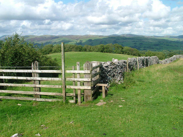 Photo could not load
SD4994 : Stile on Cunswick Scar
David Brown
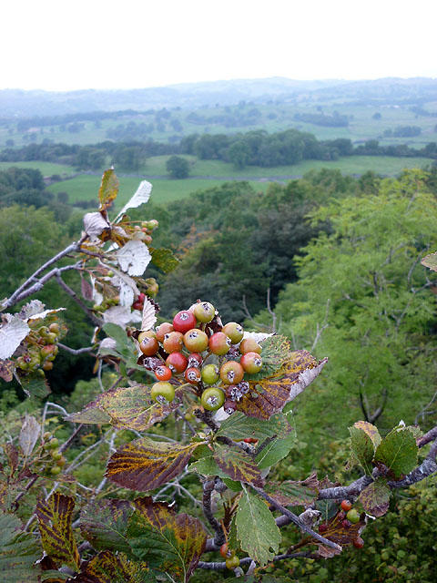 Photo could not load
SD4994 : Whitebeam on Cunswick Scar
Karl and Ali
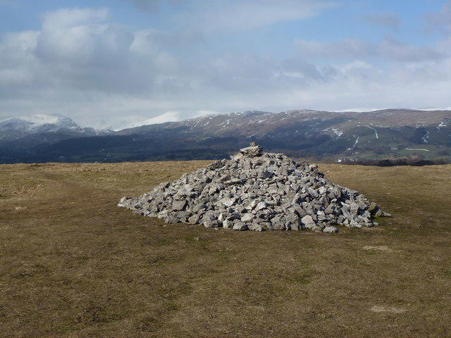 Photo could not load
SD4994 : Cunswick Fell: summit cairn
John H Darch
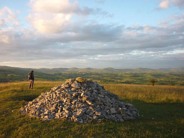 Photo could not load
SD4994 : Evening on the summit of Cunswick Scar
Karl and Ali
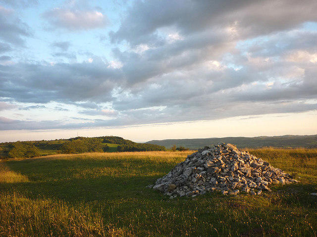 Photo could not load
SD4994 : Cunswick Scar looking towards ....... Cunswick Scar
Karl and Ali
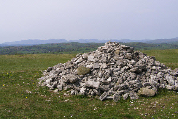 Photo could not load
SD4994 : Cairn on Cunswick Fell
mauldy
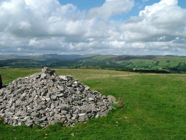 Photo could not load
SD4994 : Summit of Cunswick Scar
David Brown
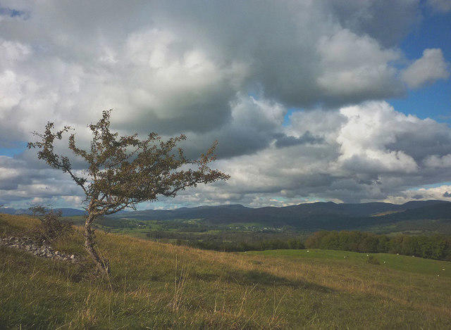 Photo could not load
SD4994 : North from Cunswick Scar
Karl and Ali
Hill facts and local notes
Classifications
Elevation
207m
679 ft
Prominence
37m
Coordinates
54.3417, -2.7836
SD491943
OS Map
97
Explorer: OL7N
At the Summit
At the summit, you'll find a modest cairn, offering a perfect spot for a photo-op. Don’t forget to selfie with the view!
Terrain & Geology
Cunswick Scar is primarily composed of limestone, typical of the area, providing a unique biodiversity and stunning rock formations.
Views & Scenery
From the summit, enjoy vistas of the Kent Valley, the distant peaks of the Lake District, and on a clear day, the Irish Sea.
History & Heritage
Name Origin
The name 'Cunswick' is thought to derive from an old Norse word meaning 'the hill of the creek'.
Historical Significance
Cunswick Scar holds a prominent place in local folklore and has been a favourite for walkers for generations.
Getting There & Facilities
Parking
The nearest parking can be found at the Kendal Town Hall, just a short walk from the trailhead.
Public Transport
Regular buses run from Windermere and Lancaster to Kendal. Check local schedules for the latest information.
Nearby Facilities
Kendal offers several cafes and restaurants, as well as public toilets near the town centre.
Safety Information
Known Hazards
- Careful of slippery rocks after rainfall. The ascent is generally easy but avoid underestimating the weather.
General Safety Tips
- Check weather conditions before setting out
- Carry appropriate clothing and equipment
- Let someone know your planned route
- Take a map, compass, and GPS device
- Carry emergency supplies: food, water, first aid kit, torch
Hills
Some common questions about the hills answered
Are there group walks up Cunswick Scar?
Many walkers use Walkmates to join or organise walks with others. You can check for group walks around Cunswick Scar through the maps
Are there other walkers around Cunswick Scar?
Activity varies by location and time, but Walkmates lets you see whether others have shared walks or shown interest in this area. Find other people through the walking friends search walking friends for Cunswick Scar search or of course create your own walk for Cunswick Scar
Can I organise a walk to Cunswick Scar?
Yes. If there aren’t any walks listed already, you can create a walk and make it available for others to join.
If you're signed up to Walkmates, you can create a walk to Cunswick Scar.
How do I find a walk up this hill?
There are often multiple ways to walk this hill, depending on experience and route preference. Walkmates helps you explore walks and routes that others have shared.
Can I suggest a new route up Cunswick Scar?
Yes. You can suggest or create routes to share with others. Walkmates focuses on the social side of walking, so routes are used to help people organise walks and explore areas together, rather than as detailed navigation tools or route libraries.
Other uses really appreciate knowledgeable walkers sharing their routes. Share your favourite route to Cunswick Scar here
The is an error or something incorrect about this hill. How do I let you know?
We always strive to keep the information on Walkmates as accurate as possible. If you find an error, please let us know through the contact form and we'll aim to correct it as quickly as possible
Community Discussion
Comments
Location
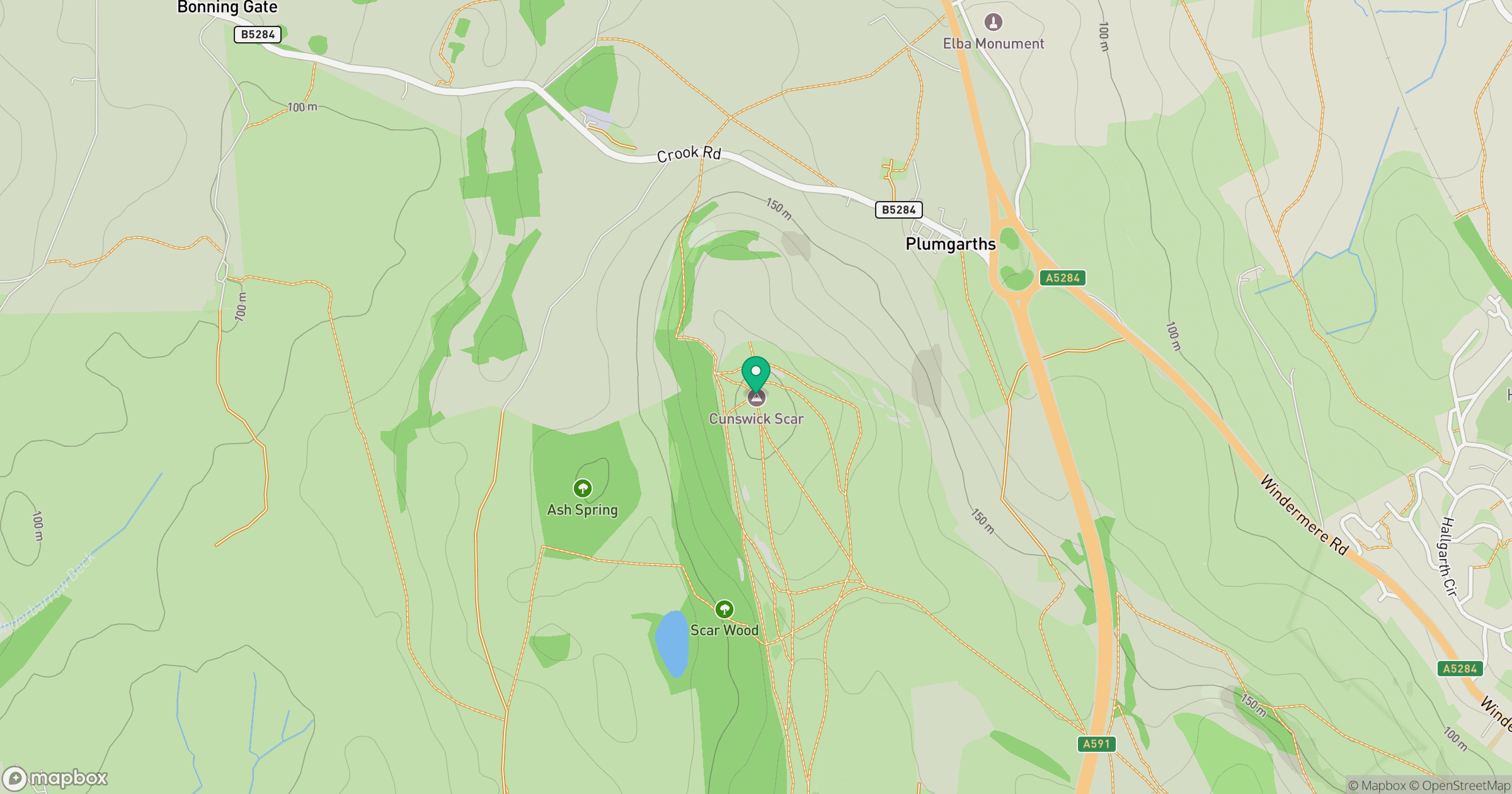
Grid reference: SD491943
View on OpenStreetMapOpens a map in a new tab, centred on the hill.

No comments yet. Be the first.