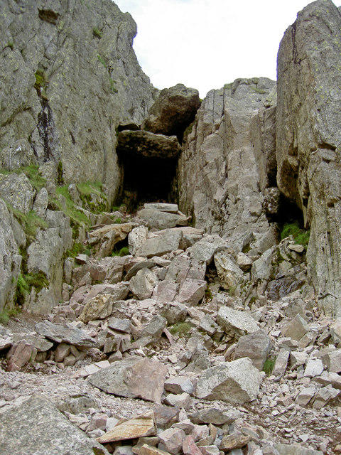
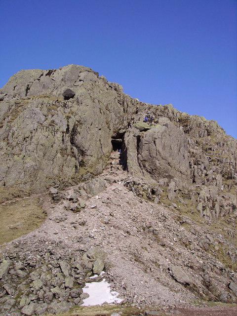
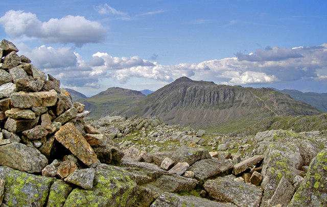
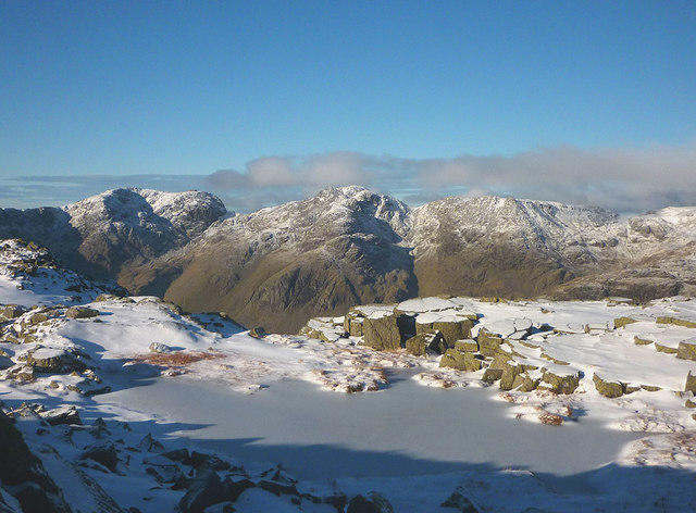
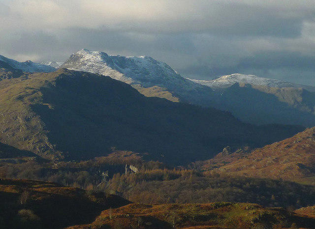
![Crinkle Crags - Long Top [Second Crinkle]](https://cdn.walkmates.com/hill-photos/hill-placeholder.jpg)


Upland / Hill
Circular
Hard
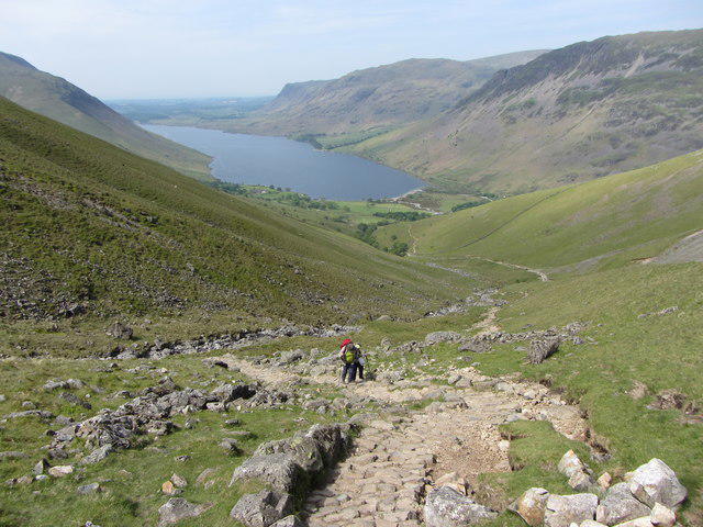
Scafell Pike via Brown Tonge and Hollow Stones

PaulWalkmates
Walk organiser
![Crinkle Crags - Long Top [Second Crinkle] location map](https://cdn.walkmates.com/hill-maps/crinkle-crags---long-top-[second-crinkle].png)
No comments yet. Be the first to share your thoughts!