

Craig Phadrig
Good walks are even better shared.
NH6445 : Beech trees at east end of Craig Phadrig Fort
Alpin Stewart Photo source
Overview
Craig Phadrig
Nestled near the bustling city of Inverness in the Scottish Highlands, Craig Phadrig is a Marilyn that presents a delightful escape into nature without the need for extreme mountaineering skills. Its elevation of 373 meters may not place it among Scotland's giants, but its charm is undeniable.
Geology
The mountain is primarily composed of Old Red Sandstone, which provides excellent visibility of geological layers dating back over 400 million years. The reddish hue of the rocks is a defining feature of the area, making for both striking photos and a glimpse into our planet's ancient history.
Routes
One of the most popular routes is the Forest Trail from Inverness. This path meanders through lush woodlands with intermittent views until it opens up at the summit. Covering a distance of 3.5 km, this route is perfect for families and those looking for a gentle rise with moderate difficulty.
Summit Features
Upon reaching the summit, you are greeted by a substantial stone cairn and mesmerizing views. On a clear day, a vista encompassing Loch Ness and the Black Isle stretches out, leaving you awe-inspired. It’s no surprise that locals often say the best things in life are free—especially when they offer views like these!
Terrain Type
The terrain consists of grassy paths interspersed with rocky sections. While it's mostly manageable, you may encounter a few boggy patches, so watch your step and be prepared to channel your inner mountain goat!
Views
The views from Craig Phadrig are nothing short of breathtaking. Key highlights include a panoramic vista of Loch Ness, and the surrounding landscapes, with the convenient vantage point allowing you to survey the beauty of the Highland countryside. For the best experience, spring and early autumn are ideal times to visit, granting you the perfect weather and clarity.
Hazards
Though Craig Phadrig is accessible, it's essential to heed some warnings. Be wary of slippery rocks post-rainfall, and stick to established paths to avoid the bogs that seem to delight in catching the unwary.
Nearby Summits
If you find yourself wanting more after conquering Craig Phadrig, why not take a trip to Ben Wyvis or Carn na Coinnich? Both offer their own unique challenges and impressive views, ensuring your hiking adventures continue.
Access
For those driving, a small parking area is available at the entrance of the forest trail along the B862. If public transport is your preference, local bus services from Inverness will conveniently drop you near the trailhead.
Facilities
While Craig Phadrig might demand your outdoor spirit, don’t fret—you won’t have to rough it. Inverness is just a stone's throw away, boasting cafes, restaurants, and toilets aplenty before and after your hiking efforts!
History
As for the mountain’s name, 'Phadrig' is believed to mean 'the place of the hill', a nod to its historical significance. This ancient fort has roots that extend back into prehistory, making it not just a hike but a passage through time.
In summary, Craig Phadrig may lack towering heights, but it certainly packs a punch with its stunning scenery and rich history, making it a must-visit for outdoor enthusiasts of all kinds. So lace up those boots, pack a sandwich (or a biscuit), and head on up this delightful Highland gem!
Explore routes near Craig Phadrig
Walks starting near this hill. Open a route to check its map, distance and full itinerary.
Culbin Forest: Hill 99, Gravel Pit Ponds and Dragonfly Pool
View route
Glen Affric: Coire Loch Woodland Trail
View route
Aviemore: Loch an Eilein and the Croft Track from Rothiemurchus
View route
Rothiemurchus: Beaver Trail and Lochan Mor
View route
Route planning notes
These notes describe possible approaches. Check a route's map and access information when planning your walk.
Forest Trail from Inverness
A well-marked route that weaves through woodlands before leading to the summit.
Make a day of it, together
Find someone to share the walk with, or organise a day out along a route you like.
Photo Gallery
View all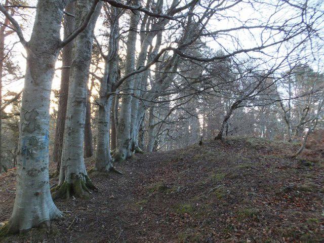 Photo could not load
NH6445 : Beech trees at east end of Craig Phadrig Fort
Alpin Stewart
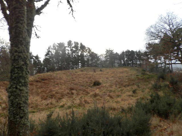 Photo could not load
NH6445 : Remains of hill fort on Craig Phadraig
Douglas Nelson
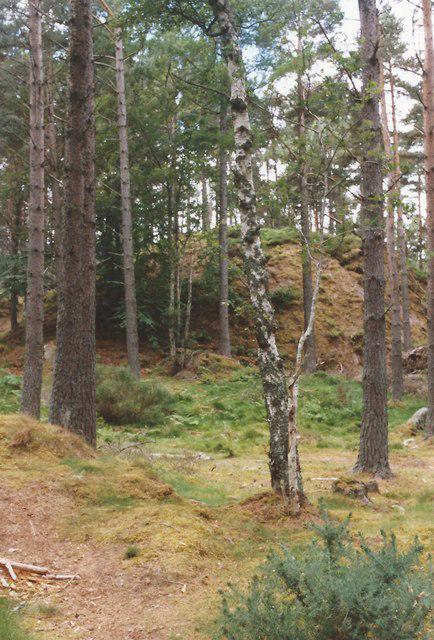 Photo could not load
NH6445 : Craig Phadrig
Tim Glover
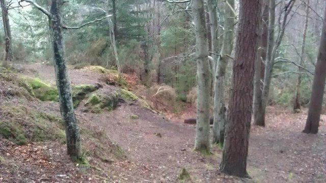 Photo could not load
NH6345 : Home made paths
Alasdair MacNeill
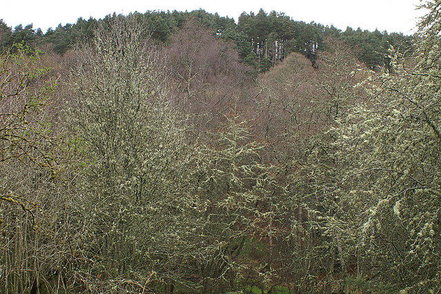 Photo could not load
NH6445 : Craig Phadrig, Inverness
Mike Pennington
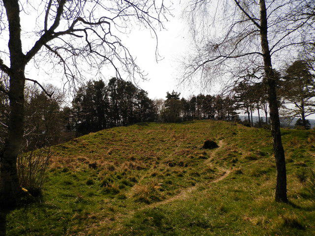 Photo could not load
NH6445 : Remains of hill fort on Craig Phadraig
Douglas Nelson
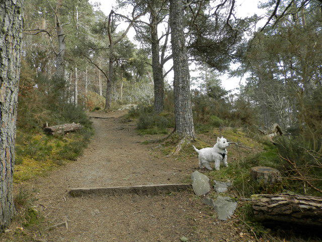 Photo could not load
NH6345 : Woodland path on the slopes of Craig Phadraig
Douglas Nelson
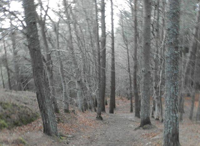 Photo could not load
NH6345 : Forest path on Craig Phadraig
Douglas Nelson
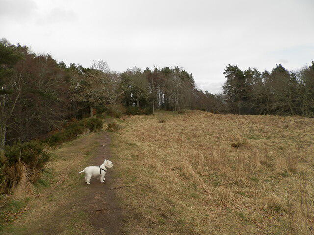 Photo could not load
NH6345 : Remains of Craig Phadraig Hill Fort
Douglas Nelson
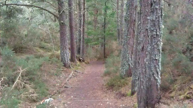
NH6345 : Looking down the steps
Alasdair MacNeill
Hill facts and local notes
Classifications
Elevation
172m
564 ft
Prominence
38m
Coordinates
57.4771, -4.2702
NH639452
OS Map
26
Explorer: 416N
At the Summit
At the summit, you will find a large stone cairn, which sports a lovely view over the city of Inverness. On a clear day, it’s said you can even see as far as the Black Isle!
Terrain & Geology
The mountain is primarily composed of Old Red Sandstone, which is notable for its distinctive reddish hue. The geological formations provide an interesting insight into the Earth's history, with layers dating back over 400 million years.
Views & Scenery
From the summit, you can see Loch Ness and the surrounding hills, as well as the bustling city of Inverness below. On a clear day, the views are nothing short of spectacular.
History & Heritage
Name Origin
The name 'Phadrig' is believed to derive from the Gaelic 'Fadhrig', meaning 'the place of the hill', reflecting the area's historic significance.
Historical Significance
Craig Phadrig was once a fort, and it is thought to have been inhabited since prehistoric times. The site is a reminder of Scotland's rich history and its strategic importance.
Getting There & Facilities
Parking
There is a small parking area at the entrance to the forest trail on the B862. Please ensure you park responsibly.
Public Transport
Inverness is served by numerous bus services, and you can take a local bus to the B862. Alternatively, it's a short taxi ride from the city centre.
Nearby Facilities
While there are no direct facilities on the mountain, Inverness offers plenty of cafes, restaurants, and toilets before and after your hike.
Safety Information
Known Hazards
- Watch out for slippery rocks after rain and ensure you don’t wander off the main path, as it can become boggy.
General Safety Tips
- Check weather conditions before setting out
- Carry appropriate clothing and equipment
- Let someone know your planned route
- Take a map, compass, and GPS device
- Carry emergency supplies: food, water, first aid kit, torch
Hills
Some common questions about the hills answered
Are there group walks up Craig Phadrig?
Many walkers use Walkmates to join or organise walks with others. You can check for group walks around Craig Phadrig through the maps
Are there other walkers around Craig Phadrig?
Activity varies by location and time, but Walkmates lets you see whether others have shared walks or shown interest in this area. Find other people through the walking friends search walking friends for Craig Phadrig search or of course create your own walk for Craig Phadrig
Can I organise a walk to Craig Phadrig?
Yes. If there aren’t any walks listed already, you can create a walk and make it available for others to join.
If you're signed up to Walkmates, you can create a walk to Craig Phadrig.
How do I find a walk up this hill?
There are often multiple ways to walk this hill, depending on experience and route preference. Walkmates helps you explore walks and routes that others have shared.
Can I suggest a new route up Craig Phadrig?
Yes. You can suggest or create routes to share with others. Walkmates focuses on the social side of walking, so routes are used to help people organise walks and explore areas together, rather than as detailed navigation tools or route libraries.
Other uses really appreciate knowledgeable walkers sharing their routes. Share your favourite route to Craig Phadrig here
The is an error or something incorrect about this hill. How do I let you know?
We always strive to keep the information on Walkmates as accurate as possible. If you find an error, please let us know through the contact form and we'll aim to correct it as quickly as possible
Community Discussion
Comments
Location
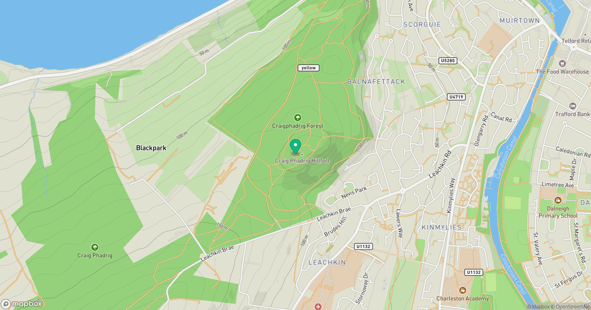
Grid reference: NH639452
View on OpenStreetMapOpens a map in a new tab, centred on the hill.
No comments yet. Be the first.