

Cheeks Hill
Good walks are even better shared.
SK0269 : Staffordshire County Top Cheeks Hill, Boundary wall
Brian Deegan Photo source
Overview
Cheeks Hill: A Hidden Gem in the Peak District
Cheeks Hill, standing proudly at an elevation of 303 meters, is a charming Marilyn situated in the beautiful Peak District. For those who might otherwise overlook this lovely hill amongst its more famous neighbours, it offers both adventure and tranquility without the pesky crowds.
Geology
Oh, geology! The very backbone of our hills and dales. Cheeks Hill is largely made up of gritstone, a robust rock that has stood the test of time (and hiker’s boots). The sandstone layers you’ll come across tell tales of ancient sediment that formed over millions of years—fascinating for the rock nerd in all of us.
Routes
There are several well-trodden paths to the summit, each offering its own slice of the scenic goodness.
- Tideswell Dale Start: This route takes you through Tideswell Dale, winding its way with a gentle incline to the summit.
- Litton Start: A circular jaunt that includes some gentle slopes and just enough challenge to keep things interesting—even grumpy legs can enjoy this trail!
Summit Features
Standing atop Cheeks Hill, you'll find a modest cairn alongside a stone boundary marker. Perfect for a cheeky selfie to show the folks back home you did indeed reach the top!
Views
On a clear day, the views are nothing short of breathtaking. You can see the rugged contours of the Peak District, along with neighbouring heights like Longstone Edge and Winnats Pass. To truly appreciate these sights, aim for late spring or autumn when the weather is kinder and the colours pop.
Hazards
As with all walks, keep an eye out for slippery rocks, especially if the heavens decide to open up on you. And pay close attention to changing weather conditions; the Peak District can be a bit temperamental!
Access
If you’re driving, the nearest parking is a cozy little area in Tideswell, but be sure to arrive early—it’s popular! Alternatively, buses from Buxton and Bakewell will get you to Tideswell in no time.
Facilities
Tideswell has a friendly array of local pubs and cafes—consider treating yourself to a post-hike pint or a slice of cake. The village also boasts public toilets, just in case nature calls before you hit the trail.
History
The name 'Cheeks' likely refers to the rounded hills, and it has a charming place in the heart of the Peak District National Park. This area has been a significant contributor to the outdoor pursuits culture in the UK—who would’ve thought a hill named Cheeks could be so important?
Put on your walking boots, pack a sandwich, and make your way to Cheeks Hill for a splendid day out in nature. Whether you’re a seasoned hiker or just looking for a relaxing stroll, this hidden gem is sure to please!
Explore routes near Cheeks Hill
Walks starting near this hill. Open a route to check its map, distance and full itinerary.
Three Shires guided hike
View route
Tittesworth Reservoir
View route
Miller’s Dale to Bakewell guided walk
View route
Miller’s Dale to Bakewell guided walk
View route
Route planning notes
These notes describe possible approaches. Check a route's map and access information when planning your walk.
Tideswell Dale Start
A scenic route through Tideswell Dale, offering stunning views and a moderate ascent to the summit.
Litton Start
A circular route starting from Litton, combining gentle slopes and a few challenging bits towards the top.
Make a day of it, together
Find someone to share the walk with, or organise a day out along a route you like.
Photo Gallery
View all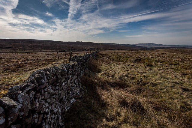 Photo could not load
SK0269 : Staffordshire County Top Cheeks Hill, Boundary wall
Brian Deegan
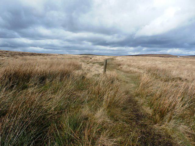 Photo could not load
SK0269 : Guidepost on the Dane Valley Way
Jonathan Clitheroe
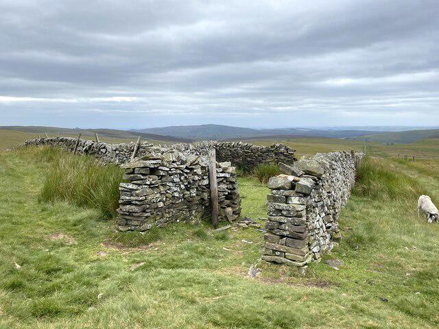 Photo could not load
SK0269 : Boundary sheepfold
John H Darch
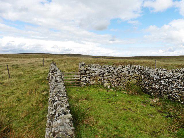 Photo could not load
SK0269 : Sheepfold on top of Cheeks Hill
Roger Cornfoot
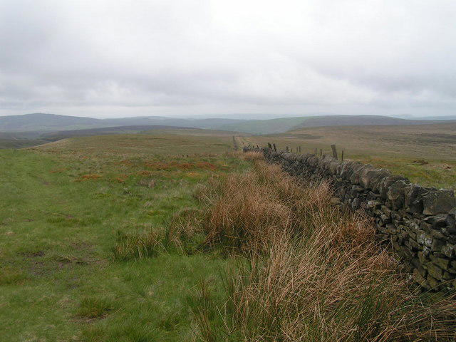 Photo could not load
SK0269 : Cheeks Hill
Dave Dunford
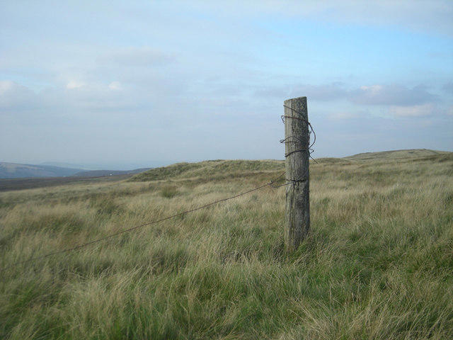 Photo could not load
SK0269 : Boundary post
Row17
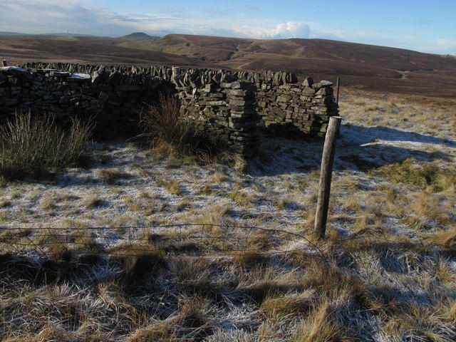 Photo could not load
SK0269 : Cheeks Hill
Rude Health
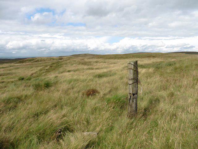 Photo could not load
SK0269 : Summit point, Cheeks Hill
Roger Cornfoot
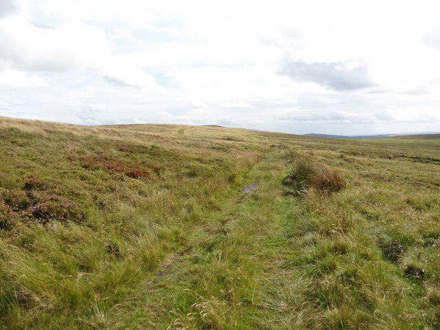 Photo could not load
SK0270 : Moorland track to Cheeks Hill
Roger Cornfoot
Hill facts and local notes
Classifications
Elevation
522m
1,712 ft
Prominence
5m
Coordinates
53.2267, -1.9617
SK026699
OS Map
119
Explorer: OL24W
At the Summit
The summit features a simple cairn marking the highest point along with a magnificent stone boundary marker, giving hikers the perfect spot for a photo op.
Terrain & Geology
Cheeks Hill is primarily composed of gritstone, a rock type that is both robust and weather-resistant, making it an ideal feature for hiking. The area showcases various sedimentary rock layers, giving an insight into the geological history of the region.
Views & Scenery
From the summit, you can see expansive views of the surrounding Peak District, including nearby summits like Castleton and the stunning valleys below.
History & Heritage
Name Origin
The name 'Cheeks' is believed to refer to the rounded hills, as 'cheek' can denote a rounded, prominent feature.
Historical Significance
The hill is part of the Peak District National Park, which holds cultural and historical importance in the development of rock climbing and outdoor leisure activities in the UK.
Getting There & Facilities
Parking
There is a small parking area in Tideswell with capacity for about a dozen cars. Arrive early to beat the crowds!
Public Transport
Buses run from nearby towns like Buxton and Bakewell to Tideswell. Check with local services for the latest timetable.
Nearby Facilities
Tideswell has a few local pubs, cafes, and shops. Public toilets are available in the village, perfect for pre-hike preparations.
Safety Information
Known Hazards
- Watch out for slippery rocks after rainfall and be cautious of sudden changes in weather, as they can lead to fog or rain, reducing visibility.
General Safety Tips
- Check weather conditions before setting out
- Carry appropriate clothing and equipment
- Let someone know your planned route
- Take a map, compass, and GPS device
- Carry emergency supplies: food, water, first aid kit, torch
Hills
Some common questions about the hills answered
Are there group walks up Cheeks Hill?
Many walkers use Walkmates to join or organise walks with others. You can check for group walks around Cheeks Hill through the maps
Are there other walkers around Cheeks Hill?
Activity varies by location and time, but Walkmates lets you see whether others have shared walks or shown interest in this area. Find other people through the walking friends search walking friends for Cheeks Hill search or of course create your own walk for Cheeks Hill
Can I organise a walk to Cheeks Hill?
Yes. If there aren’t any walks listed already, you can create a walk and make it available for others to join.
If you're signed up to Walkmates, you can create a walk to Cheeks Hill.
How do I find a walk up this hill?
There are often multiple ways to walk this hill, depending on experience and route preference. Walkmates helps you explore walks and routes that others have shared.
Can I suggest a new route up Cheeks Hill?
Yes. You can suggest or create routes to share with others. Walkmates focuses on the social side of walking, so routes are used to help people organise walks and explore areas together, rather than as detailed navigation tools or route libraries.
Other uses really appreciate knowledgeable walkers sharing their routes. Share your favourite route to Cheeks Hill here
The is an error or something incorrect about this hill. How do I let you know?
We always strive to keep the information on Walkmates as accurate as possible. If you find an error, please let us know through the contact form and we'll aim to correct it as quickly as possible
Community Discussion
Comments
Location
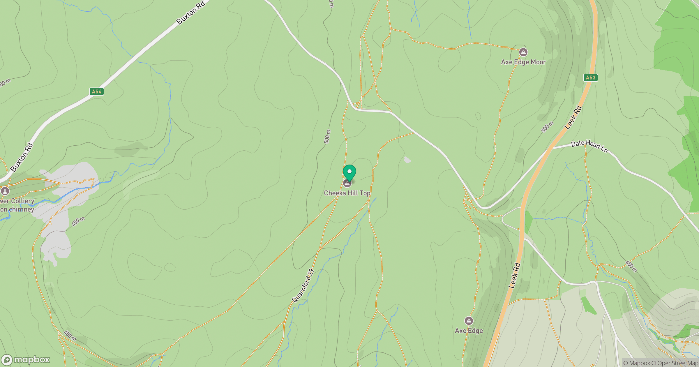
Grid reference: SK026699
View on OpenStreetMapOpens a map in a new tab, centred on the hill.
Nearby Hills
The Roaches
505m

Kinder Scout
636m
Winter Hill
456m
Rombalds Moor [Ilkley Moor]
402m

Pendle Hill
557m
No comments yet. Be the first.