
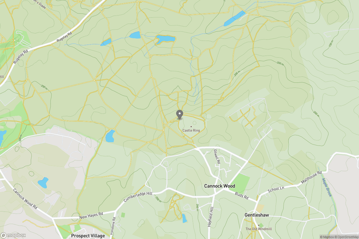
Park / Green space
Circular
Easy
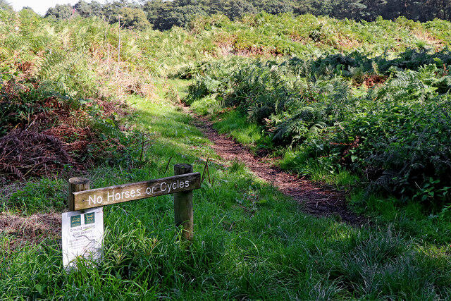
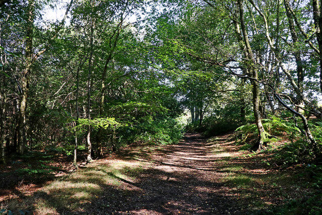
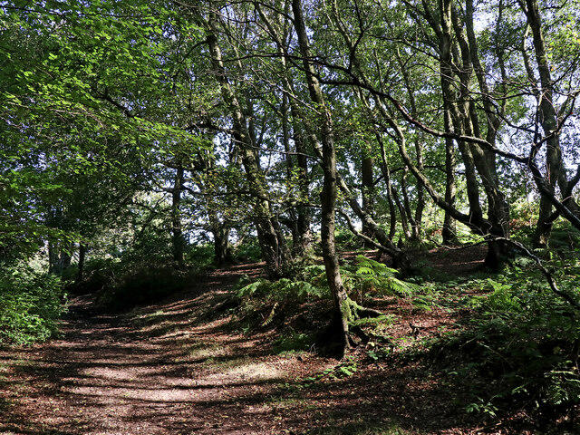
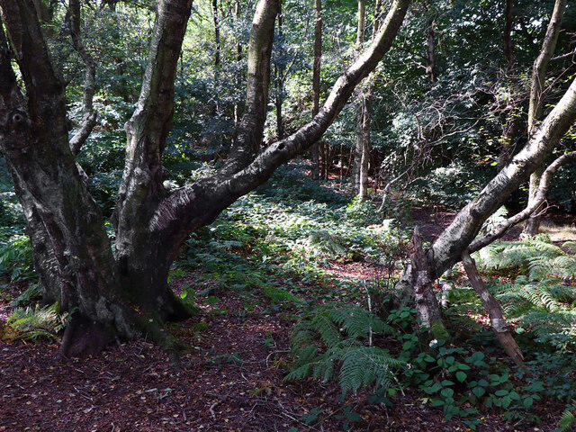
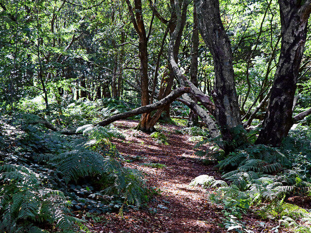
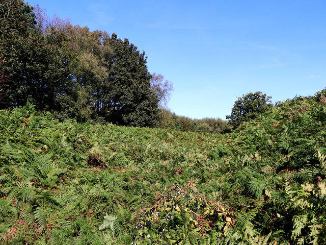
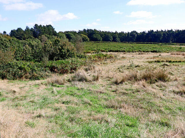
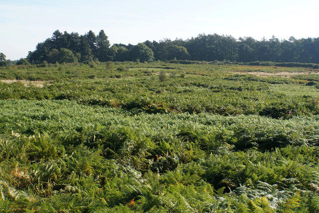
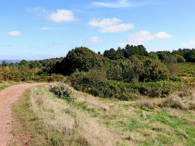
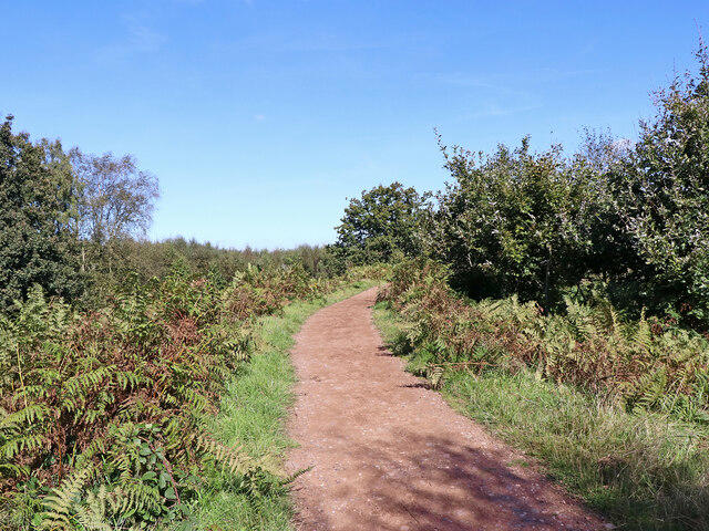
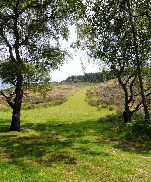
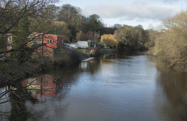
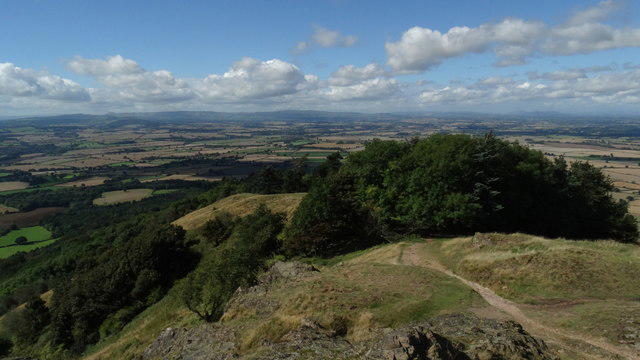
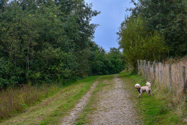
Cannock Chase, Shugborough, and Canal Circular
PaulWalkmates
Walk organiser
No comments yet. Be the first.