
Carn Dearg Mor
Good walks are even better shared.
Overview
Carn Dearg Mor
Elevation: 1025 meters
Location: NN823911, Scottish Highlands
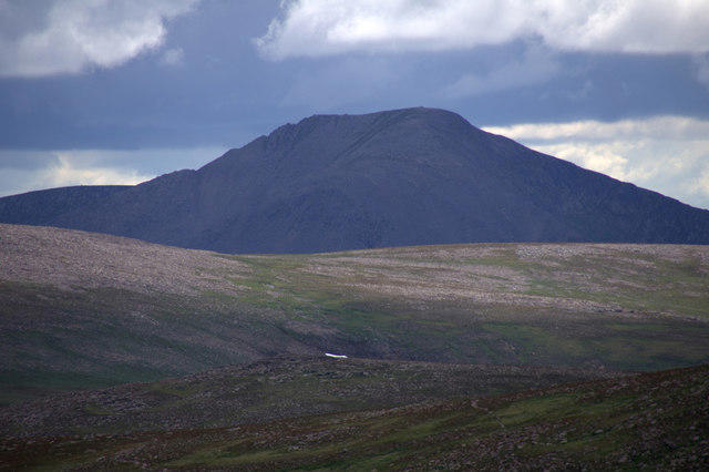
Carn Dearg Mor, standing proudly at 1025 meters, is a must-visit for those who wish to experience the wild beauty of the Scottish Highlands. This Munro's unique geography and striking features make it a favourite among hikers and nature lovers alike.
Geology
The mountain is primarily composed of granite with a geological history characterized by glacial erosion. One can almost feel the power of nature in the rugged rock formations and the way the landscape has been sculpted over thousands of years.
Routes
There are several routes available for those wishing to scale this magnificent peak. The Carn Dearg Mor Circular Route is popular and covers a distance of about 8 km, taking roughly 4 hours to complete. It offers a moderate challenge while rewarding hikers with breathtaking views.
For the more adventurous, the Direct Ascent from Glen Spean is a challenging 6 km route that takes around 3.5 hours. Be prepared for a steep climb!
Summit Features
Atop Carn Dearg Mor, you'll find a prominent cairn, perfect for capturing memories (and possibly your breath) after the climb! Make sure to take a moment to enjoy the peaceful atmosphere.
Terrain Type
The terrain is a delightful mix of rocky paths and grassy patches, though don’t be fooled by the occasional lushness; it’s essential to tread carefully as boggy sections can sneak up on you!
Views
Hikers are rewarded with incredible panoramic views from the summit, which include the awe-inspiring Nevis Range and the expansive Rannoch Moor. The best season for optimal views is late spring to early autumn, when the weather is kinder and the views clearer.
Hazards
As with any Highland trek, be prepared for sudden weather changes. Always keep an eye on the forecast and be cautious of slippery paths, especially after rain.
Nearby Summits
If you’re keen to extend your adventure, consider summiting Carn Dearg (914 meters) or the famous Ben Nevis (1345 meters), both within close proximity to Carn Dearg Mor.
Access
Access to the mountain is relatively simple. The nearest parking is a small area at NN823911, ideal for about 10 vehicles. Bear in mind that early birds catch the worm — or in this case, a parking spot!
Public transport options are somewhat limited. Travelling to Fort William by train and then catching a local bus to Spean Bridge is often the best route.
The closest town, Spean Bridge, is a mere 4 miles away and offers various cafes and a pub to replenish your energy after a long trek.
Facilities
As lovely as it is to commune with nature, amenities around Carn Dearg Mor are sparse. However, the nearby Spean Bridge has cafes, a pub, and public toilets for those in need of a quick refreshment or a rest.
History
The name 'Carn Dearg Mor' translates to 'Big Red Hill', resembling the reddish shades that the mountain takes on in certain lighting conditions. The hill holds importance not just in recreational climbing but also in its historical ties to the Jacobite risings.
In summary, Carn Dearg Mor is not just another hike; it's an experience that combines nature, history, and spectacular views that beckon to be explored. Just don’t forget your hiking boots and a snack or two!
Happy hiking!
Explore routes near Carn Dearg Mor
Walks starting near this hill. Open a route to check its map, distance and full itinerary.
Rothiemurchus: Beaver Trail and Lochan Mor
View route
Aviemore: Loch an Eilein and the Croft Track from Rothiemurchus
View route
Coire Ardair lochan from Aberarder and back
View route
Aberfeldy: Glassie Woodland and River Tay Circular
View route
Route planning notes
These notes describe possible approaches. Check a route's map and access information when planning your walk.
Carn Dearg Mor Circular Route
A scenic circular route starting from the small car park near the base of the mountain, offering a mix of paths that lead to the summit and back.
Direct Ascent from Glen Spean
A steeper, more direct ascent from Glen Spean, perfect for those looking for a challenge and stunning views up the slopes.
Make a day of it, together
Find someone to share the walk with, or organise a day out along a route you like.
Hill facts and local notes
Classifications
Elevation
857m
2,813 ft
Prominence
290m
Coordinates
56.9968, -3.9387
NN823911
OS Map
35 43
Explorer: OL56 402
At the Summit
The summit boasts a substantial cairn, which offers a perfect opportunity for a photo-op — assuming you've got breath left after the hike!
Terrain & Geology
Carn Dearg Mor is primarily composed of granite, which gives it a rugged and durable character. The mountain’s intricate geological history includes glacial erosion that shaped its contours into the striking features we see today.
Views & Scenery
From the summit, hikers are treated to panoramic views of the surrounding landscapes, including the Nevis Range and the vastness of Rannoch Moor.
History & Heritage
Name Origin
The name 'Carn Dearg Mor' translates roughly to 'Big Red Hill' in Scots Gaelic, a nod to its distinctive reddish hue at certain times of the day.
Historical Significance
Aside from being a popular hiking destination, the region is steeped in history, with nearby historical sites linked to the Jacobite risings.
Getting There & Facilities
Parking
There is a small car park at NN823911, suitable for about 10 vehicles. Arrive early during peak season to secure a spot!
Public Transport
There is limited public transport to the area; the best bet is to catch a train to Fort William and then a local bus towards Spean Bridge.
Nearby Facilities
Facilities are minimal near the mountain. However, in Spean Bridge, you can find cafes, a pub, and public toilets.
Safety Information
Known Hazards
- Be wary of sudden weather changes typical of the Highlands, as well as potential wildlife encounters. Also, some sections might be slippery after rain, so watch your step.
General Safety Tips
- Check weather conditions before setting out
- Carry appropriate clothing and equipment
- Let someone know your planned route
- Take a map, compass, and GPS device
- Carry emergency supplies: food, water, first aid kit, torch
Hills
Some common questions about the hills answered
Are there group walks up Carn Dearg Mor?
Many walkers use Walkmates to join or organise walks with others. You can check for group walks around Carn Dearg Mor through the maps
Are there other walkers around Carn Dearg Mor?
Activity varies by location and time, but Walkmates lets you see whether others have shared walks or shown interest in this area. Find other people through the walking friends search walking friends for Carn Dearg Mor search or of course create your own walk for Carn Dearg Mor
Can I organise a walk to Carn Dearg Mor?
Yes. If there aren’t any walks listed already, you can create a walk and make it available for others to join.
If you're signed up to Walkmates, you can create a walk to Carn Dearg Mor.
How do I find a walk up this hill?
There are often multiple ways to walk this hill, depending on experience and route preference. Walkmates helps you explore walks and routes that others have shared.
Can I suggest a new route up Carn Dearg Mor?
Yes. You can suggest or create routes to share with others. Walkmates focuses on the social side of walking, so routes are used to help people organise walks and explore areas together, rather than as detailed navigation tools or route libraries.
Other uses really appreciate knowledgeable walkers sharing their routes. Share your favourite route to Carn Dearg Mor here
The is an error or something incorrect about this hill. How do I let you know?
We always strive to keep the information on Walkmates as accurate as possible. If you find an error, please let us know through the contact form and we'll aim to correct it as quickly as possible
Community Discussion
Comments
Location
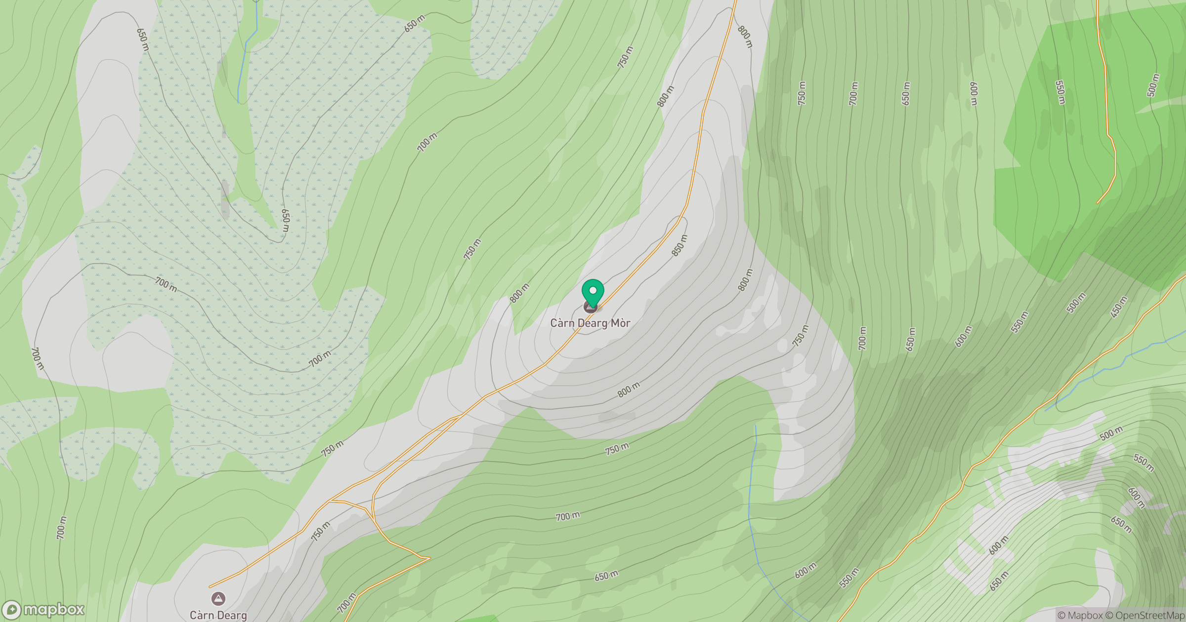
Grid reference: NN823911
View on OpenStreetMapOpens a map in a new tab, centred on the hill.
No comments yet. Be the first.