
Urban / City
Circular
Easy
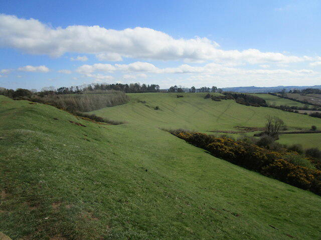
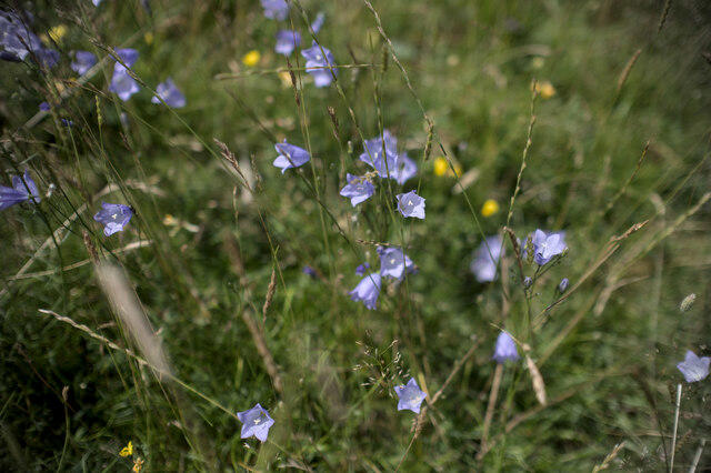
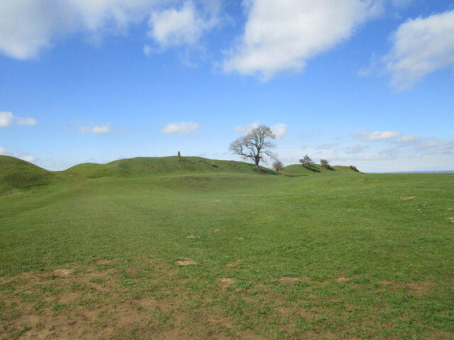
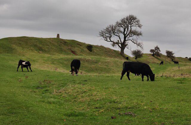
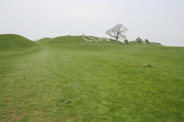
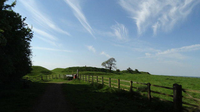
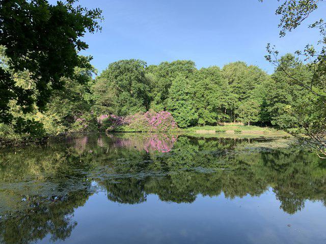
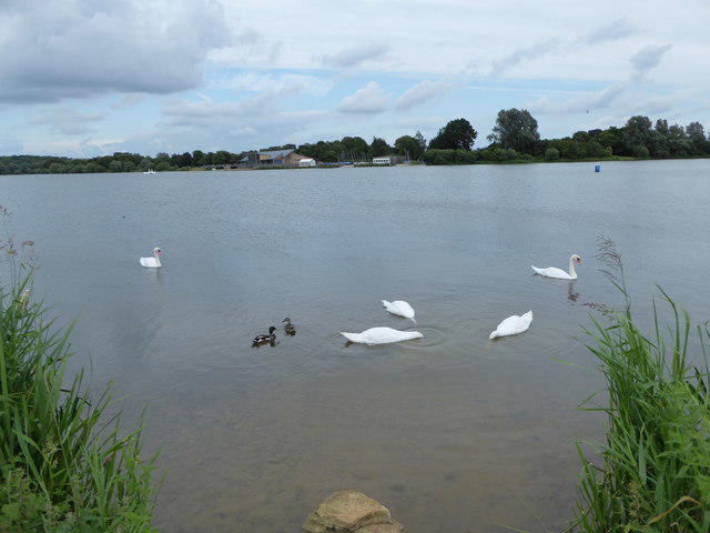
Woolaton Park Circular
PaulWalkmates
Walk organiser
No comments yet. Be the first.