

Brown Wardle Hill
Good walks are even better shared.
SD8918 : Old Boundary Marker
D Garside Photo source
Overview
Brown Wardle Hill
Nestled in the heart of the South Pennines, Brown Wardle Hill rises to an impressive height of 413 meters, making it a notable Marilyn loved by locals and visitors alike. The hill's distinct geology, dominated by gritstone, is not just for show – it offers advanced geological enthusiasts plenty to ponder while they hike! The rugged terrain tells a story of centuries of erosion.
Hike Summary
The most popular trail, affectionately known as "The Up A Bit Trail", will take you approximately 3.2 km, which can be completed comfortably in about 1.5 hours. Hunters of the horizon will be rewarded with magnificent vistas at the summit.
Summit Features
Reaching the top is a joy, with a small stone cairn and a helpful wooden marker standing proudly at the peak. Perfect for soaking in the views or snapping that quintessential hiking selfie.
Terrain and Hazards
The terrain is a mix of grassy slopes littered with rocky outcrops, making it a moderately challenging trek. Remember, footing can get slippery, so sturdy footwear is recommended. And beware of sheep – some may have been known to attempt a photobomb!
Accessing the Hill
You can park at a small layby along Brown Wardle Road (SD905185), but do keep an eye out for the locals. Public transport is friendly with buses running to the nearby village of Wardle, followed by a delightful stroll to the trailhead.
Nearby Attractions
If you've got the energy to spare, neighbouring summits like Nont Sarah's Hill and Thorny Edge are perfect side quests.
Facilities and Refreshments
Though the hill itself lacks facilities, the charming village of Wardle is home to a handful of cafes that can quench your thirst and satisfy your appetite after a vigorous climb.
Historical Significance
Brown Wardle’s name harks back to Old English, describing both its earthy hue and its stature as a hill. Its place in local culture is steeped in history and community lore, making the hill not just a hike, but a journey through time.
Put on those boots, grab your walking stick, and enjoy one of the best hill hikes in the South Pennines. It’s bound to be a memorable outing!
Explore routes near Brown Wardle Hill
Walks starting near this hill. Open a route to check its map, distance and full itinerary.
Rochdale Walk with Men Walking & Talking
View route
Thieveley Pike, The Singing Ringing Tree loop from Holme Chapel
View route
Hardcastle Crags Estate Track to Gibson Mill
View route
Scammonden Reservoir Circuit
View route
Route planning notes
These notes describe possible approaches. Check a route's map and access information when planning your walk.
The Up A Bit Trail
A straightforward ascent from the nearest parking area, suitable for most hikers. This route weaves through grassy patches and offers a few exhilarating scrambles near the summit.
Make a day of it, together
Find someone to share the walk with, or organise a day out along a route you like.
Photo Gallery
View all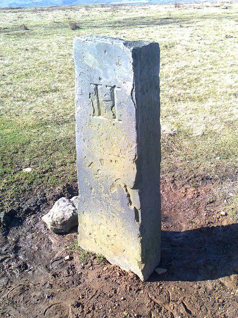 Photo could not load
SD8918 : Old Boundary Marker
D Garside
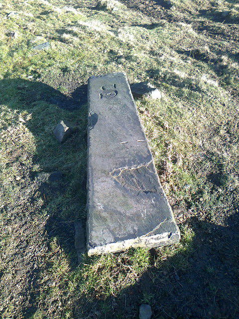 Photo could not load
SD8918 : Old Boundary Marker
D Garside
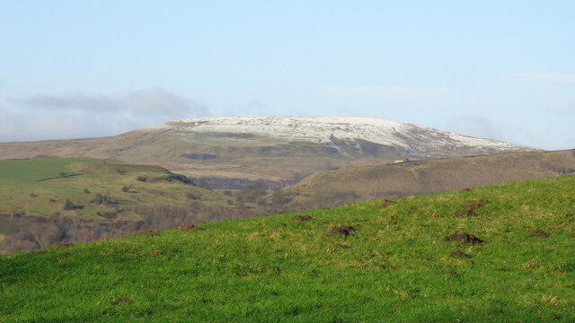 Photo could not load
SD8918 : Snow on Brown Wardle Hill
Kevin Waterhouse
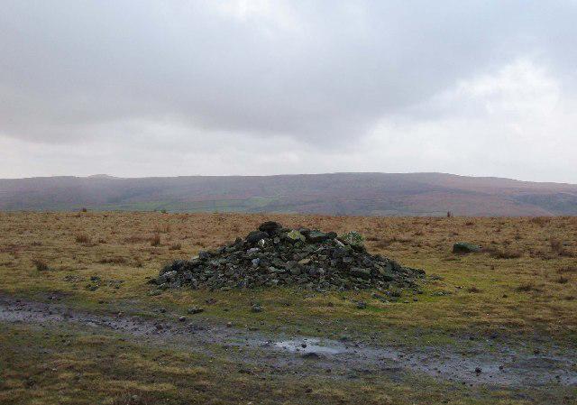 Photo could not load
SD8918 : Brown Wardle Hill
michael ely
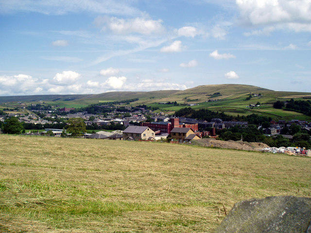 Photo could not load
SD8918 : View over Whitworth to Brown Wardle Hill
Dr Neil Clifton
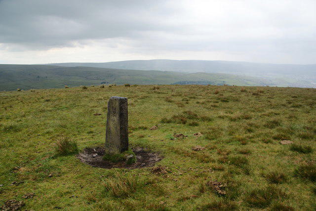 Photo could not load
SD8918 : Boundary stone on Brown Wardle
Bill Boaden
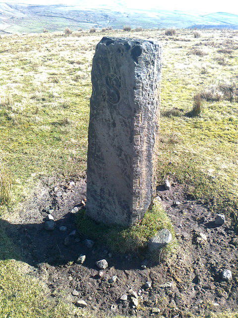 Photo could not load
SD8918 : Old Boundary Marker
D Garside
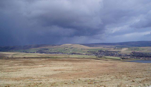 Photo could not load
SD8918 : Brown Wardle Hill, Whitworth, Lancashire
ethics girl
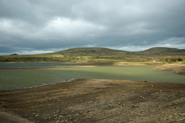 Photo could not load
SD8918 : Brown Wardle
Christopher Hill
Hill facts and local notes
Classifications
Elevation
401m
1,316 ft
Prominence
51m
Coordinates
53.6647, -2.1555
SD898186
OS Map
109
Explorer: OL21S
At the Summit
At the summit, you'll find a small stone cairn and a wooden post marking the high point, offering a perfect photo op for adventurers. The wind might playfully toss your hat around, so hold on tight!
Terrain & Geology
Primarily composed of gritstone, with some areas of shale and sandstone, Brown Wardle Hill is a testament to the region's dramatic geological history. The hill features some fascinating rock formations and rugged terrain, providing a glimpse into the geological processes that shaped this part of the UK.
Views & Scenery
From the summit, you can enjoy sweeping panoramas of the South Pennines, including views of Hollingworth Lake and the distant peaks of the Peak District. Watch out for the odd sheep photobombing your pictures.
History & Heritage
Name Origin
The name 'Brown Wardle' likely derives from the Old English words for 'brown', indicating the colour of the soil or rock, and 'wardle', possibly meaning a hill or raised land.
Historical Significance
This hill has been a popular spot for local hikers for generations, steeped in local lore and traditions. Its simple charm attracts adventurers and educators alike.
Getting There & Facilities
Parking
There's a small layby on Brown Wardle Road (SD905185) where you can park your car, but be mindful of the local residents – space is tight!
Public Transport
You can take a bus to the nearby village of Wardle, with services from Rochdale. From there, it's a short walk to the trailhead.
Nearby Facilities
Although there are no facilities directly on the hill, you'll find a couple of delightful cafes in Wardle for a post-hike treat.
Safety Information
Known Hazards
- The path can be slippery when wet, particularly in the grassy and rocky areas. Also, keep an eye out for low flying sheep!
General Safety Tips
- Check weather conditions before setting out
- Carry appropriate clothing and equipment
- Let someone know your planned route
- Take a map, compass, and GPS device
- Carry emergency supplies: food, water, first aid kit, torch
Hills
Some common questions about the hills answered
Are there group walks up Brown Wardle Hill?
Many walkers use Walkmates to join or organise walks with others. You can check for group walks around Brown Wardle Hill through the maps
Are there other walkers around Brown Wardle Hill?
Activity varies by location and time, but Walkmates lets you see whether others have shared walks or shown interest in this area. Find other people through the walking friends search walking friends for Brown Wardle Hill search or of course create your own walk for Brown Wardle Hill
Can I organise a walk to Brown Wardle Hill?
Yes. If there aren’t any walks listed already, you can create a walk and make it available for others to join.
If you're signed up to Walkmates, you can create a walk to Brown Wardle Hill.
How do I find a walk up this hill?
There are often multiple ways to walk this hill, depending on experience and route preference. Walkmates helps you explore walks and routes that others have shared.
Can I suggest a new route up Brown Wardle Hill?
Yes. You can suggest or create routes to share with others. Walkmates focuses on the social side of walking, so routes are used to help people organise walks and explore areas together, rather than as detailed navigation tools or route libraries.
Other uses really appreciate knowledgeable walkers sharing their routes. Share your favourite route to Brown Wardle Hill here
The is an error or something incorrect about this hill. How do I let you know?
We always strive to keep the information on Walkmates as accurate as possible. If you find an error, please let us know through the contact form and we'll aim to correct it as quickly as possible
Community Discussion
Comments
Location
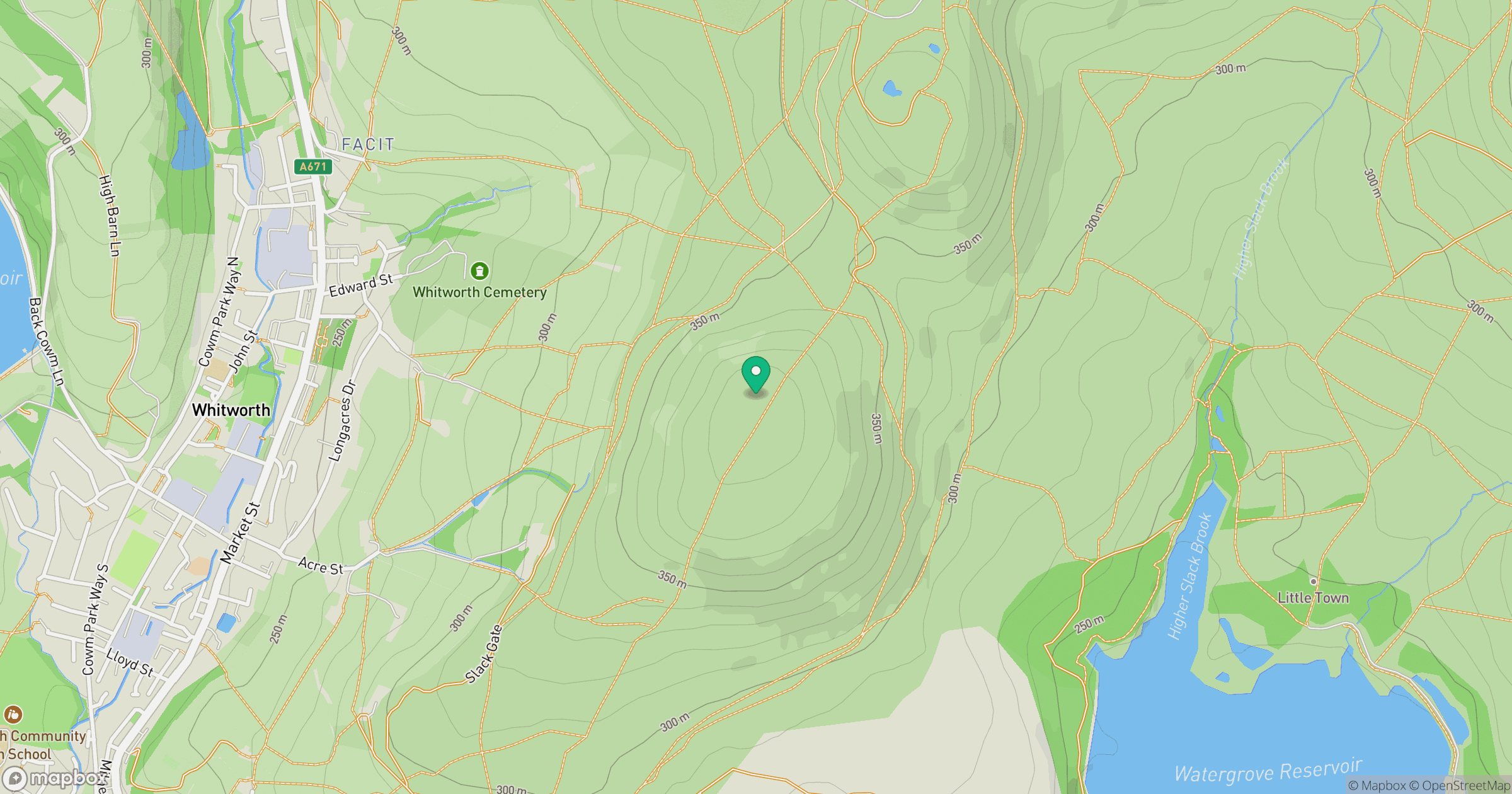
Grid reference: SD898186
View on OpenStreetMapOpens a map in a new tab, centred on the hill.
Nearby Hills

Pendle Hill
557m
Winter Hill
456m

Kinder Scout
636m
Rombalds Moor [Ilkley Moor]
402m

Pen-y-ghent
694m
No comments yet. Be the first.