

Brown Clee Hill
Good walks are even better shared.
SO5986 : Toposcope on Brown Clee Hill
Fabian Musto Photo source
Overview
Brown Clee Hill
Overview
Brown Clee Hill, the highest hill in Shropshire and a Marilyn, stands proudly at 540 metres (1,771 feet). This elevated gem offers not just breathtaking vistas but a rich tapestry woven with natural beauty and history, perfect for an adventurous day out or a gentle stroll.
Geology
Essentially a geological masterpiece, Brown Clee is formed mainly of Old Red Sandstone, complemented by volcanic rock. The fascinating geology is more than just beautiful views; it tells the story of Earth’s evolution throughout the Devonian period. This rocky foundation provides a solid footing for hikers and serves as a reminder of the forces that shaped our planet.
Routes
Two main routes cater to different hiking preferences. Firstly, the Clee Hill Road Route is easy, making it ideal for families, while the Walk from Stottesdon offers a more scenic, moderate trek that loops around the southern slopes, embracing a variety of flora and fauna along the way.
Summit Features
At the summit, you’ll find a substantial trig point, a common feature in the UK mountains, offering a great spot for a photo opportunity. Towering heather and gorse surround the area, providing a vibrant splash of colour for your eye to feast upon.
Terrain
Expect a combination of grassy meadows and rocky outcrops. Be aware, though, that after rain, some patches can get decidedly boggy, so sturdy footwear is a must!
Views
The panoramic views from the top are nothing short of spectacular. Points of interest include the strikingly beautiful Longmynd and the Malvern Hills. If you’re lucky, a rare clear day may reward you with a tantalising glimpse of the Brecon Beacons.
Hazards
Though the hill is generally safe, proceed with care in muddy areas, especially after rain. Those gusty summit winds can catch you off guard, so secure your belongings and prepare for some fresh air!
Access
Brown Clee Hill is easily accessible, with free parking available at the Clee Hill car park, and regular bus services to nearby towns. Cleobury Mortimer is the nearest town, boasting lovely cafes to refresh and revitalise you after an exhilarating hike.
Facilities
Facilities in Cleobury Mortimer include quaint cafes for a post-hike treat and public toilets, perfectly positioned for convenience.
History
The name 'Clee' is believed to stem from fundamental Welsh words, reflecting the hill's visibility. Moreover, Brown Clee Hill has a longstanding historical significance as evidence of early human settlement comes from the surrounding areas, making it a place steeped in history.
So, lace up your boots and prepare for a splendid day on Brown Clee Hill – it’s a natural beauty waiting for you to explore!
Happy hiking!
Explore routes near Brown Clee Hill
Walks starting near this hill. Open a route to check its map, distance and full itinerary.
Cleobury Mortimer with Men Walking & Talking
View route
Bridgnorth Walk with Men Walking & Talking
View route
Ludlow Town Walls and Castle Walk
View route
Highley Walk with Men Walking & Talking
View route
Route planning notes
These notes describe possible approaches. Check a route's map and access information when planning your walk.
Clee Hill Road Route
A popular and straightforward approach that leads to the summit along an established track, offering manageable gradients suitable for most.
Walk from Stottesdon
Starting from the nearby village, this more scenic route loops around the south side of the hill with a mixture of footpaths and field margins.
Make a day of it, together
Find someone to share the walk with, or organise a day out along a route you like.
Photo Gallery
View all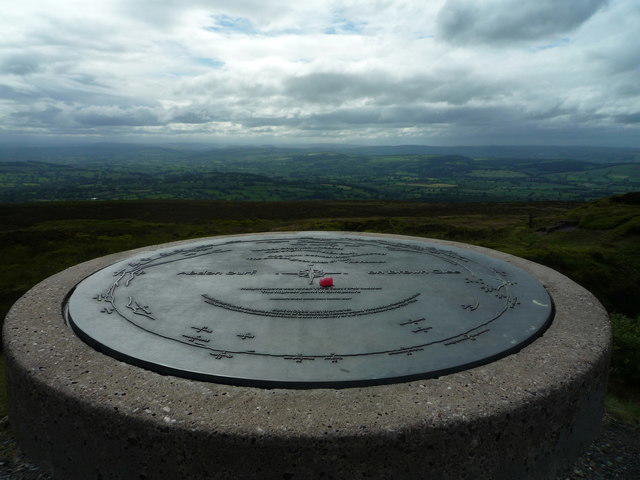 Photo could not load
SO5986 : Toposcope on Brown Clee Hill
Fabian Musto
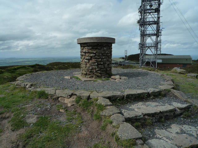 Photo could not load
SO5986 : Toposcope on Brown Clee Hill
Fabian Musto
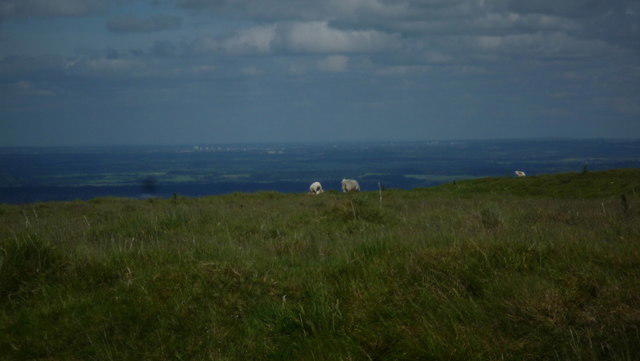 Photo could not load
SO5986 : The City of Birmingham
Fabian Musto
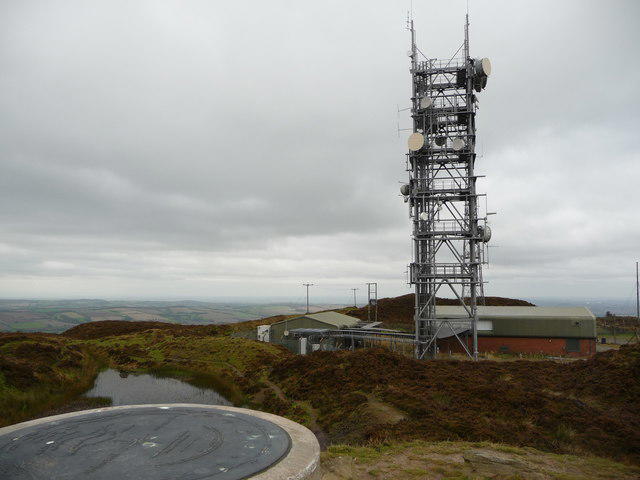 Photo could not load
SO5986 : Part of the summit scene at Abdon Burf on Brown Clee
Jeremy Bolwell
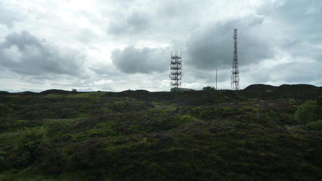 Photo could not load
SO5986 : Masts on Brown Clee Hill
Fabian Musto
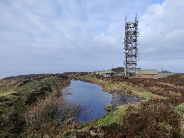 Photo could not load
SO5986 : Pond on the summit of Abdon Burf
Mat Fascione
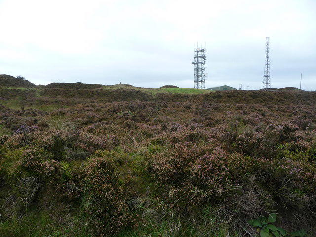 Photo could not load
SO5986 : View of the summit of Brown Clee Hill at Abdon Burf
Jeremy Bolwell
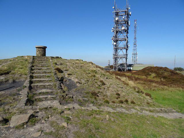 Photo could not load
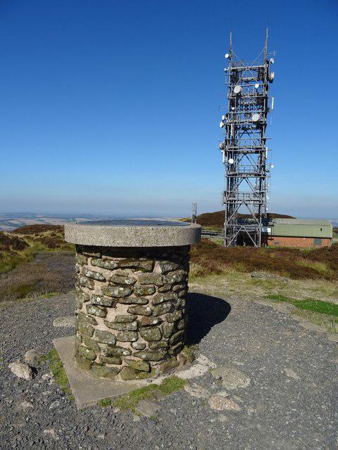
SO5986 : Toposcope and mast, Abdon Burf
Philip Halling
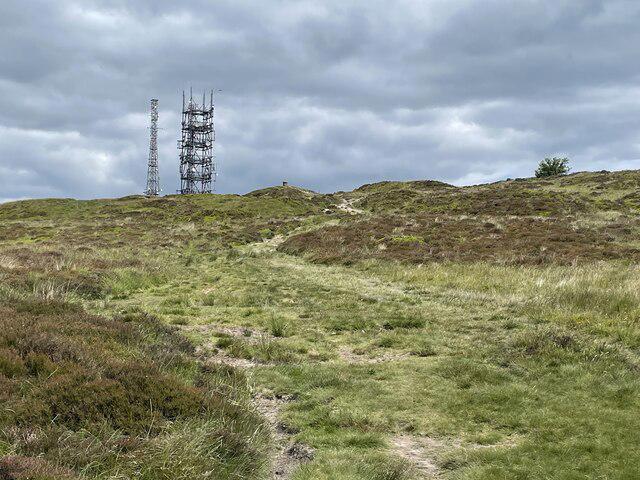 Photo could not load
SO5986 : Approaching the wireless station on Abdon Burf
Andrew Shannon
SO5986 : Toposcope and mast, Abdon Burf
Philip Halling
Hill facts and local notes
Classifications
Elevation
540m
1,773 ft
Prominence
375m
Coordinates
52.4767, -2.5996
SO593867
OS Map
137 138
Explorer: 217
At the Summit
The summit features a large, prominent trig point surrounded by heather and gorse, offering spectacular 360-degree views. Look closely and you might spot some unexpected wildlife between the stones!
Terrain & Geology
Brown Clee Hill is primarily composed of Old Red Sandstone, with underlying volcanic rock which contributes to its rugged terrain. The geological history of the area offers a fascinating glimpse into the Earth’s past, with sedimentary layers dating back to the Devonian period.
Views & Scenery
From the summit, you can see the Longmynd, the Malvern Hills, and on a clear day, even the Brecon Beacons. If you squint hard enough, you might just see your next adventure on the horizon.
History & Heritage
Name Origin
The name 'Clee' is derived from the Welsh word 'claer', meaning 'bright' or 'clear', possibly referring to the hill's visibility on the landscape.
Historical Significance
It has been a site of human activity since prehistoric times, with evidence of early settlements in the surrounding area.
Getting There & Facilities
Parking
There is ample parking at the Clee Hill car park, located off the B4364; it's free but arrives early on weekends to nab a spot.
Public Transport
Reachable by local bus services running from Ludlow and Kidderminster, but check the schedule as they can be a bit flaky.
Nearby Facilities
The nearest facilities can be found in Cleobury Mortimer, including cafes to refuel your energy (and your coffee intake). Public toilets are also available in the town centre.
Safety Information
Known Hazards
- Care should be taken in muddy sections, especially after heavy rain. The summit can become quite windy, so dress accordingly and hold onto your hats, or risk losing them to the north winds!
General Safety Tips
- Check weather conditions before setting out
- Carry appropriate clothing and equipment
- Let someone know your planned route
- Take a map, compass, and GPS device
- Carry emergency supplies: food, water, first aid kit, torch
Hills
Some common questions about the hills answered
Are there group walks up Brown Clee Hill?
Many walkers use Walkmates to join or organise walks with others. You can check for group walks around Brown Clee Hill through the maps
Are there other walkers around Brown Clee Hill?
Activity varies by location and time, but Walkmates lets you see whether others have shared walks or shown interest in this area. Find other people through the walking friends search walking friends for Brown Clee Hill search or of course create your own walk for Brown Clee Hill
Can I organise a walk to Brown Clee Hill?
Yes. If there aren’t any walks listed already, you can create a walk and make it available for others to join.
If you're signed up to Walkmates, you can create a walk to Brown Clee Hill.
How do I find a walk up this hill?
There are often multiple ways to walk this hill, depending on experience and route preference. Walkmates helps you explore walks and routes that others have shared.
Can I suggest a new route up Brown Clee Hill?
Yes. You can suggest or create routes to share with others. Walkmates focuses on the social side of walking, so routes are used to help people organise walks and explore areas together, rather than as detailed navigation tools or route libraries.
Other uses really appreciate knowledgeable walkers sharing their routes. Share your favourite route to Brown Clee Hill here
The is an error or something incorrect about this hill. How do I let you know?
We always strive to keep the information on Walkmates as accurate as possible. If you find an error, please let us know through the contact form and we'll aim to correct it as quickly as possible
Community Discussion
Comments
Location
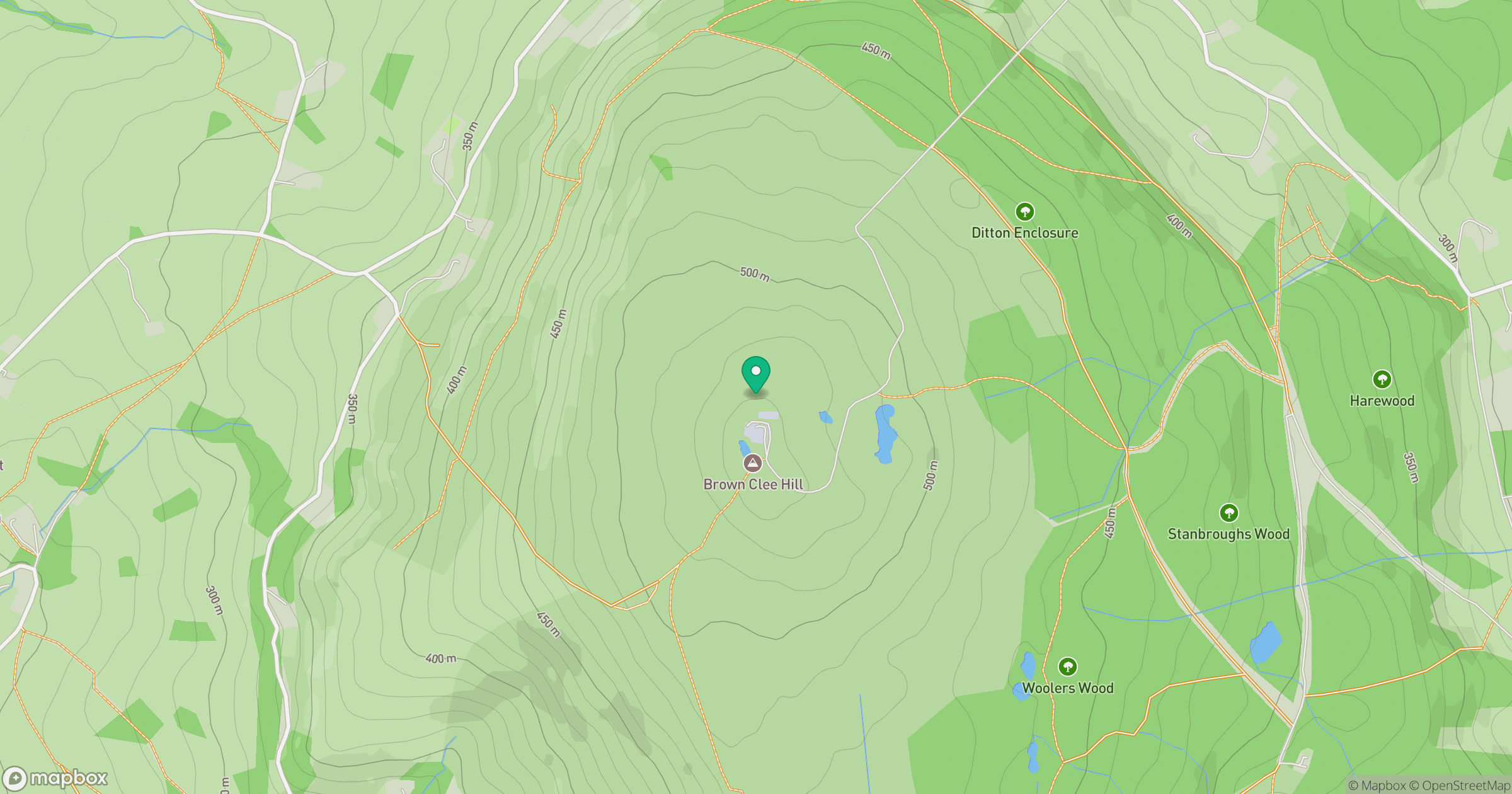
Grid reference: SO593867
View on OpenStreetMapOpens a map in a new tab, centred on the hill.
Nearby Hills
Titterstone Clee Hill
533m

The Wrekin
407m
Long Mynd - Pole Bank
517m
Stiperstones
537m
Worcestershire Beacon
425m
No comments yet. Be the first.