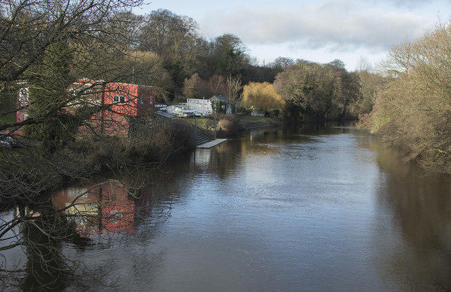
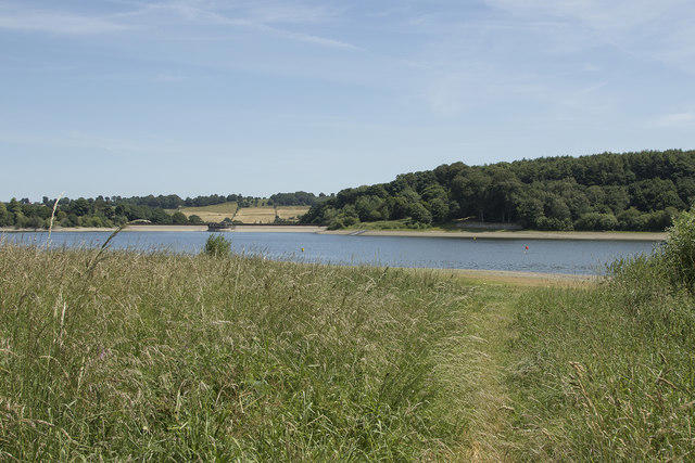
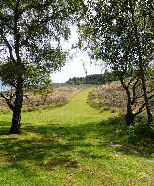
Breedon Hill

Breedon Hill

Breedon Hill Group Walks | Join a Walk

126m Elevation
30m Prominence
England Country

Join group walks, find walking companions and friends, or organise your own!

Classifications

Unclassified

Looking for walking companions?

Don't walk alone! Find friendly walkers to explore Breedon Hill together. Join scheduled group walks or start your own.

Elevation

126m

414 ft

Prominence

30m

Coordinates

52.8059, -1.4007

SK404233

OS Map

129

Explorer: 245E

At the Summit

The summit features a historic Anglo-Saxon church, St. Mary’s Church, which has an iconic tower visible from afar, alongside a small trig point. Pop a selfie with the church—just be sure not to photobomb any weddings!

Terrain & Geology

Grassy with some rocky sections towards the summit mostly well-defined paths.

Breedon Hill is primarily composed of limestone, dating back to the Jurassic period, making it a fascinating site for geology enthusiasts. The hill is part of the Breedon limestone formation, which has served as a valuable building material over the years.

Views & Scenery

From the summit, you can see the rolling countryside of Leicestershire and the distant Melton Mowbray. On a clear day, you might even spot the outline of the Peak District in the west.

History & Heritage

Name Origin

The name 'Breedon' is believed to come from Old English meaning 'hill of the Britons'.

Historical Significance

Breedon Hill holds archaeological significance, with the remnants of ancient settlements and the impressive St. Mary’s Church architecture reflecting its historical depth.

Popular Routes

Breedon Hill Circular Walk

Easy

A delightful circular route starting from the village of Breedon on the Hill, offering gentle ascents and stunning views.

5 km 2 hours

Direct Ascent from Breedon Village

Easy

A straightforward route leading directly to the summit, perfect for those short on time or who just want a quick leg stretch.

2 km 1 hours

Getting There & Facilities

Parking

There is free parking available in the village of Breedon on the Hill, just a short walk from the trailhead.

Public Transport

Buses run regularly from nearby towns like Ashby-de-la-Zouch and Loughborough. The nearest bus stop is in Breedon village.

Nearby Facilities

The village has a local pub and a small café for snacks, but no formal toilet facilities along the routes. Be sure to plan accordingly!

Safety Information

Known Hazards

  • The paths can be muddy after rain, and as always, watch out for the occasional enthusiastic sheep!

General Safety Tips

  • Check weather conditions before setting out
  • Carry appropriate clothing and equipment
  • Let someone know your planned route
  • Take a map, compass, and GPS device
  • Carry emergency supplies: food, water, first aid kit, torch

Find Walking Companions

Join friendly walkers exploring Breedon Hill and surrounding area

Can't find a walk? Organise your own!

Create a walk and let others join you. It's free and easy!

Hills

Some common questions about the hills answered

Are there group walks up Breedon Hill?

Many walkers use Walkmates to join or organise walks with others. You can check for group walks around Breedon Hill through the maps

Are there other walkers around Breedon Hill?

Activity varies by location and time, but Walkmates lets you see whether others have shared walks or shown interest in this area. Find other people through the walking friends search walking friends for Breedon Hill search or of course create your own walk for Breedon Hill

Can I organise a walk to Breedon Hill?

Yes. If there aren’t any walks listed already, you can create a walk and make it available for others to join.

If you're signed up to Walkmates, you can create a walk to Breedon Hill.

How do I find a walk up this hill?

There are often multiple ways to walk this hill, depending on experience and route preference. Walkmates helps you explore walks and routes that others have shared.

Can I suggest a new route up Breedon Hill?

Yes. You can suggest or create routes to share with others. Walkmates focuses on the social side of walking, so routes are used to help people organise walks and explore areas together, rather than as detailed navigation tools or route libraries.

Other uses really appreciate knowledgeable walkers sharing their routes. Share your favourite route to Breedon Hill here

The is an error or something incorrect about this hill. How do I let you know?

We always strive to keep the information on Walkmates as accurate as possible. If you find an error, please let us know through the contact form and we'll aim to correct it as quickly as possible