
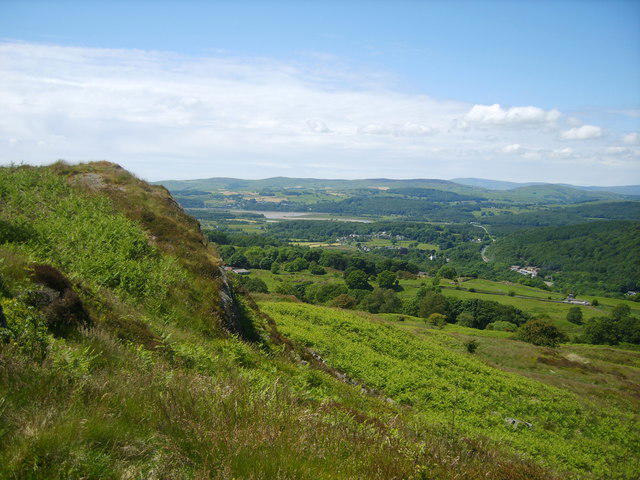
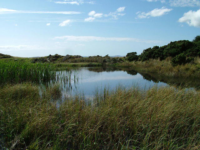
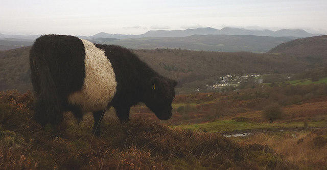
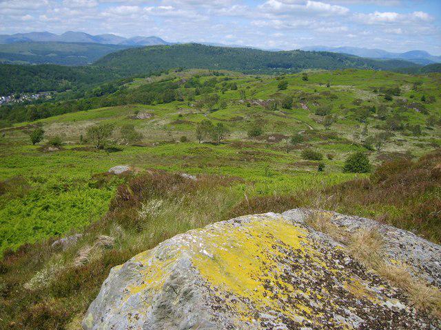
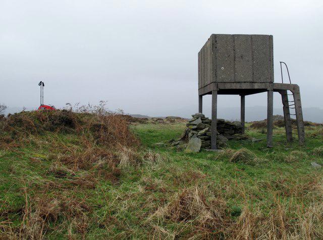
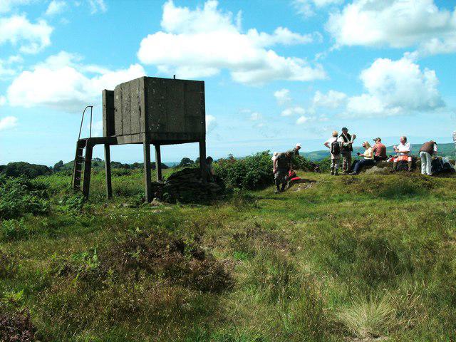
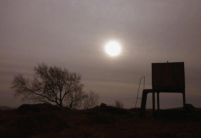
Countryside
Circular
Medium
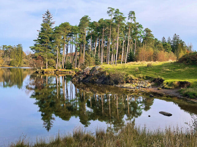
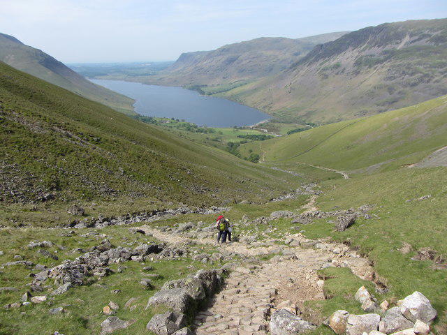
Tarn Hows Fast Route
PaulWalkmates
Walk organiser
No comments yet. Be the first.