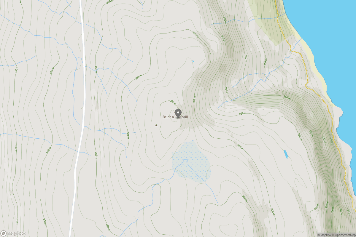
Beinn a' Chapuill

Beinn a' Chapuill

Beinn a' Chapuill Group Walks | Join a Walk

369m Elevation
45m Prominence
Scotland Country

Join group walks, find walking companions and friends, or organise your own!

Classifications

300-399m Tump

Looking for walking companions?

Don't walk alone! Find friendly walkers to explore Beinn a' Chapuill together. Join scheduled group walks or start your own.

Elevation

369m

1,211 ft

Prominence

45m

Coordinates

57.4203, -6.0469

NG571439

OS Map

24

Explorer: 409

At the Summit

The summit is adorned with a substantial cairn, a traditional marker that is a favourite for photos — it’s best not to photograph it after a heavy meal!

Terrain & Geology

Rugged and rocky with some grassy patches expect a bit of a scramble nearing the top.

Primarily composed of schist and granite, Beinn a' Chapuill showcases the fascinating geological history of the Scottish Highlands, shaped by ancient tectonic activity.

Views & Scenery

On a clear day, you can behold the stunning vistas of the surrounding mountains and the distant shores of Loch Craignish.

History & Heritage

Name Origin

The name 'Beinn a' Chapuill' translates to 'Hill of the Monk', reflecting an historical connection to early Christian hermits in the region.

Historical Significance

Historically, Beinn a' Chapuill has been important for local wildlife and is a part of traditional Highland culture.

Popular Routes

West Highland Way to Beinn a' Chapuill

Moderate

A scenic hike starting from the West Highland Way, leading you through heather-clad hills and providing views of the surrounding valleys before tackling the ascent.

9 km 3.5 hours

Getting There & Facilities

Parking

There is parking available at the starting point of the West Highland Way in the village of Dalavich.

Public Transport

Regular bus services operate from Oban to Dalavich. The nearest train station is in Oban.

Nearby Facilities

Nearby facilities include a convenience store and several cafes in Dalavich. Toilets are available at the village hall.

Safety Information

Known Hazards

  • Be aware of loose rocks, especially when descending. Weather can change rapidly, so be prepared for all seasons.

General Safety Tips

  • Check weather conditions before setting out
  • Carry appropriate clothing and equipment
  • Let someone know your planned route
  • Take a map, compass, and GPS device
  • Carry emergency supplies: food, water, first aid kit, torch

Find Walking Companions

Join friendly walkers exploring Beinn a' Chapuill and surrounding area

Can't find a walk? Organise your own!

Create a walk and let others join you. It's free and easy!

Hills

Some common questions about the hills answered

Are there group walks up Beinn a' Chapuill?

Many walkers use Walkmates to join or organise walks with others. You can check for group walks around Beinn a' Chapuill through the maps

Are there other walkers around Beinn a' Chapuill?

Activity varies by location and time, but Walkmates lets you see whether others have shared walks or shown interest in this area. Find other people through the walking friends search walking friends for Beinn a' Chapuill search or of course create your own walk for Beinn a' Chapuill

Can I organise a walk to Beinn a' Chapuill?

Yes. If there aren’t any walks listed already, you can create a walk and make it available for others to join.

If you're signed up to Walkmates, you can create a walk to Beinn a' Chapuill.

How do I find a walk up this hill?

There are often multiple ways to walk this hill, depending on experience and route preference. Walkmates helps you explore walks and routes that others have shared.

Can I suggest a new route up Beinn a' Chapuill?

Yes. You can suggest or create routes to share with others. Walkmates focuses on the social side of walking, so routes are used to help people organise walks and explore areas together, rather than as detailed navigation tools or route libraries.

Other uses really appreciate knowledgeable walkers sharing their routes. Share your favourite route to Beinn a' Chapuill here

The is an error or something incorrect about this hill. How do I let you know?

We always strive to keep the information on Walkmates as accurate as possible. If you find an error, please let us know through the contact form and we'll aim to correct it as quickly as possible