
Coastal
Circular
Medium
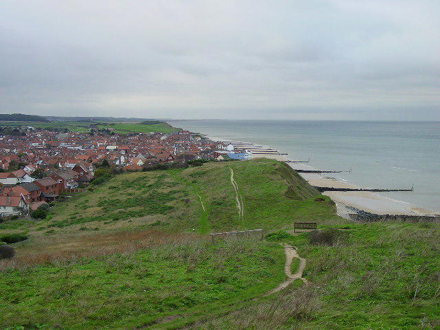
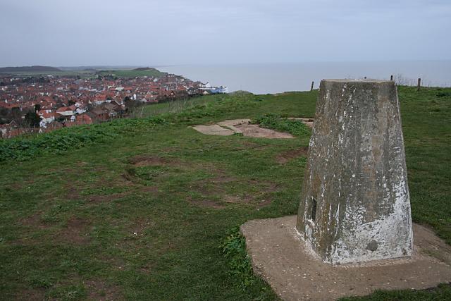
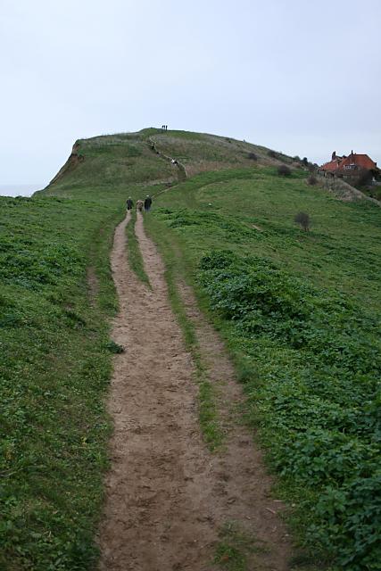
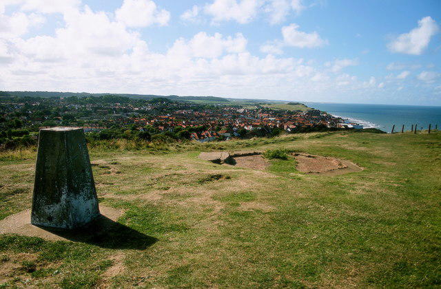
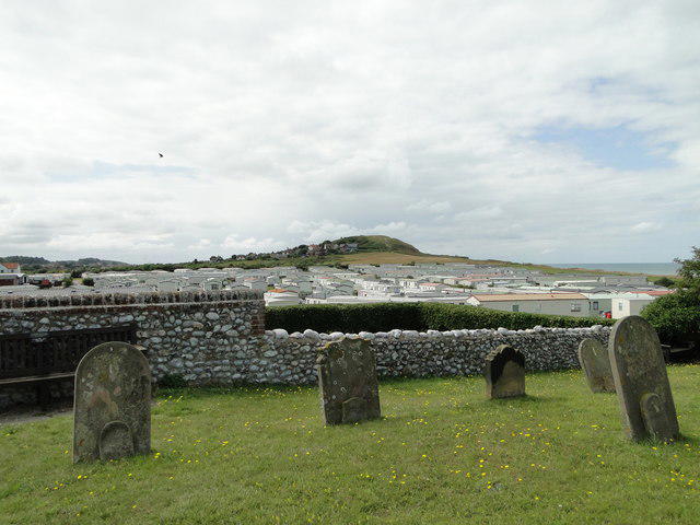
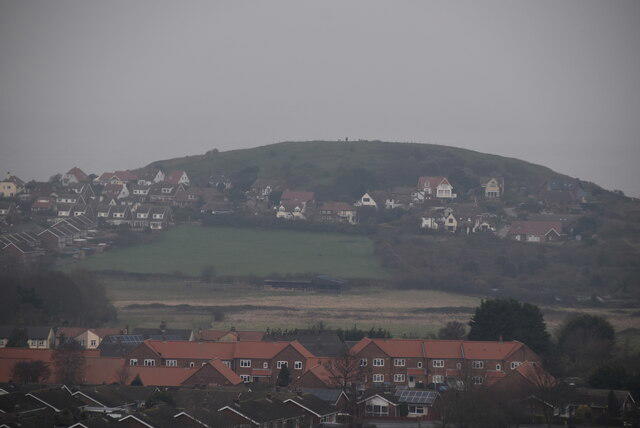
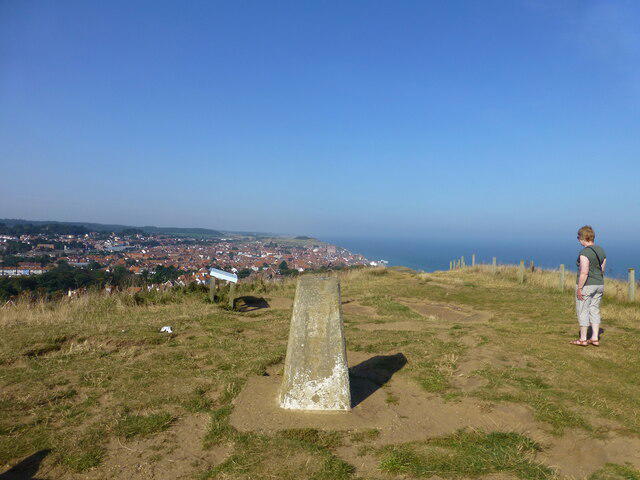
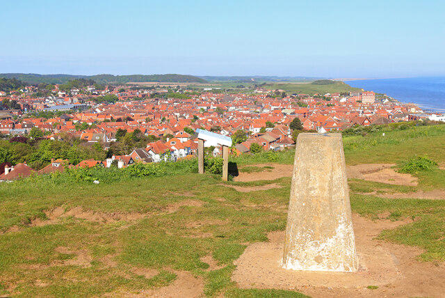
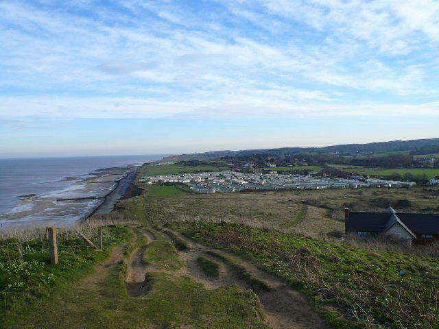
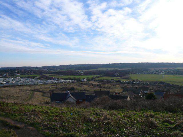
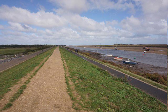
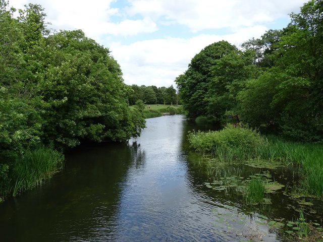
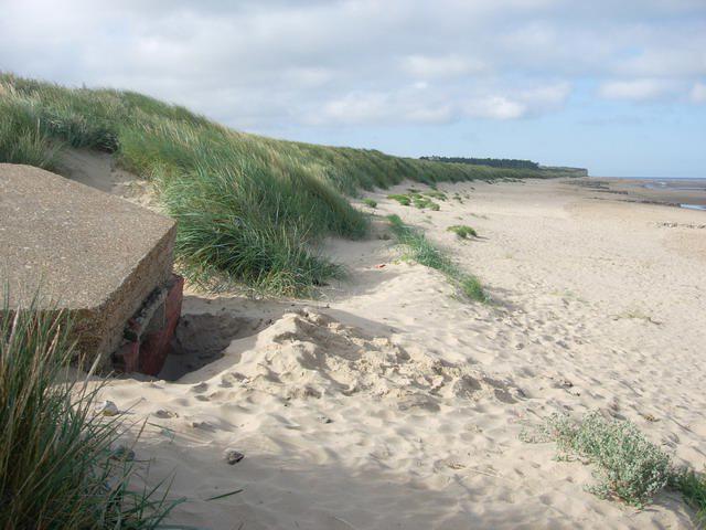
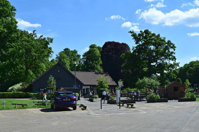
Wells Beach and Holkham Park Circular
PaulWalkmates
Walk organiser
No comments yet. Be the first.