
Arisaig Hill
Good walks are even better shared.
Overview
Arisaig Hill: An Outdoor Gem in the Scottish Highlands
Overview
Nestled in the picturesque Scottish Highlands, Arisaig Hill stands at a respectable 245 meters. Known for its stunning vistas and well-trodden paths, it’s a must for hikers seeking both challenge and beauty.
Geology
The geology here is a hikers’ dream, featuring resilient granite that has withstood the test of time. If you’re looking to impress your friends with some geological trivia, this is your chance!
Routes
The primary route is the Arisaig Hill Circuit, a moderate trek of approximately 7.2 km. Beginning in Arisaig village, it offers a delightful mix of lush green hillsides and rocky scrambles.
Summit Features
Upon reaching the summit, you’ll be greeted by a trig point—ideal for those Instagram moments—and a charming cairn made from the very stones of the hill.
Terrain Type
Expect a delightful mix of grassy trails and rocky outcrops, punctuated by the occasional bog. Waterproof boots are highly advisable unless you enjoy the feeling of squishy socks!
Views
From the summit, the sight of the Isles of Skye and Mull is simply breathtaking. The best seasons to enjoy these views are definitely spring and autumn, when the skies clear and the scenery dazzles.
Hazards
Be prepared for the unpredictable Highland weather; it can change faster than a squirrel on caffeine. Also, keep an eye out for loose stones and boggy spots—nobody enjoys a surprise dip!
Nearby Summits
If you’re keen on extending your adventure, consider a trek to Mullach an Dhamh, which towers slightly higher at 272 meters.
Access
Arisaig village is your best bet for parking, with convenient spots near the village hall. Accessible by train and local buses, it’s a breeze to get here.
Facilities
After your hike, rejuvenate at one of Arisaig's lovely cafes or take advantage of the local shops. Don’t forget to pop into the public toilets for a quick freshen up!
History
Arisaig, which means 'the safe place' in Gaelic, has a rich tapestry of history, reflected in its ancient settlements. Explore the local folklore to spice up your visit!
With so much to offer, Arisaig Hill is not just a hike, but a genuine experience that leaves both the body and the spirit refreshed. Get your hiking boots on and discover the wonder for yourself!
Explore routes near Arisaig Hill
Walks starting near this hill. Open a route to check its map, distance and full itinerary.
Banavie to Glen Loy Aqueduct: Neptune’s Staircase Canal Towpath
View route
Ben Nevis via Mountain Path
View route
Glen Affric: Coire Loch Woodland Trail
View route
Beinn Eighe Lancaster Wreckage at Coire Mhic Fhearchair
View route
Route planning notes
These notes describe possible approaches. Check a route's map and access information when planning your walk.
Arisaig Hill Circuit
This circular route begins from the village of Arisaig, providing a scenic walk that takes you around the hill before ascending to the summit.
Make a day of it, together
Find someone to share the walk with, or organise a day out along a route you like.
Hill facts and local notes
Classifications
Elevation
121m
397 ft
Prominence
106m
Coordinates
56.9458, -5.8267
NM673903
OS Map
40
Explorer: 398W
At the Summit
The summit boasts a distinct trig point, perfect for that 'I've made it!' photo. There’s also a small cairn made from local stones, honouring the many who’ve trekked this path.
Terrain & Geology
Arisaig Hill is primarily composed of granite, which forms robust crags and solid outcrops. The surrounding area also features interesting glacial deposits, showcasing the last Ice Age's impact on the landscape.
Views & Scenery
On a clear day, you can catch stunning views of the Isles of Skye and Mull, as well as the picturesque coastline of Arisaig.
History & Heritage
Name Origin
The name 'Arisaig' derives from the Gaelic word 'Arasaig', meaning 'the safe place', reflecting its historical significance as a sheltered harbour.
Historical Significance
The area is rich in heritage, with many archaeological sites evidencing ancient settlements and cultural history dating back thousands of years.
Getting There & Facilities
Parking
Parking is available in the village of Arisaig, just a short walk from the trailhead. Look for spaces near the main road or by the village hall.
Public Transport
The nearest train station is located in Arisaig, with various services operating from Fort William. Local buses also connect to surrounding areas.
Nearby Facilities
Arisaig has a small selection of cafes and local shops, and public toilets are available near the village centre, which are a godsend after a long hike.
Safety Information
Known Hazards
- Watch out for sudden weather changes typical in the Highlands. Loose rocks and boggy areas can also pose risks, particularly after heavy rainfall.
General Safety Tips
- Check weather conditions before setting out
- Carry appropriate clothing and equipment
- Let someone know your planned route
- Take a map, compass, and GPS device
- Carry emergency supplies: food, water, first aid kit, torch
Hills
Some common questions about the hills answered
Are there group walks up Arisaig Hill?
Many walkers use Walkmates to join or organise walks with others. You can check for group walks around Arisaig Hill through the maps
Are there other walkers around Arisaig Hill?
Activity varies by location and time, but Walkmates lets you see whether others have shared walks or shown interest in this area. Find other people through the walking friends search walking friends for Arisaig Hill search or of course create your own walk for Arisaig Hill
Can I organise a walk to Arisaig Hill?
Yes. If there aren’t any walks listed already, you can create a walk and make it available for others to join.
If you're signed up to Walkmates, you can create a walk to Arisaig Hill.
How do I find a walk up this hill?
There are often multiple ways to walk this hill, depending on experience and route preference. Walkmates helps you explore walks and routes that others have shared.
Can I suggest a new route up Arisaig Hill?
Yes. You can suggest or create routes to share with others. Walkmates focuses on the social side of walking, so routes are used to help people organise walks and explore areas together, rather than as detailed navigation tools or route libraries.
Other uses really appreciate knowledgeable walkers sharing their routes. Share your favourite route to Arisaig Hill here
The is an error or something incorrect about this hill. How do I let you know?
We always strive to keep the information on Walkmates as accurate as possible. If you find an error, please let us know through the contact form and we'll aim to correct it as quickly as possible
Community Discussion
Comments
Location
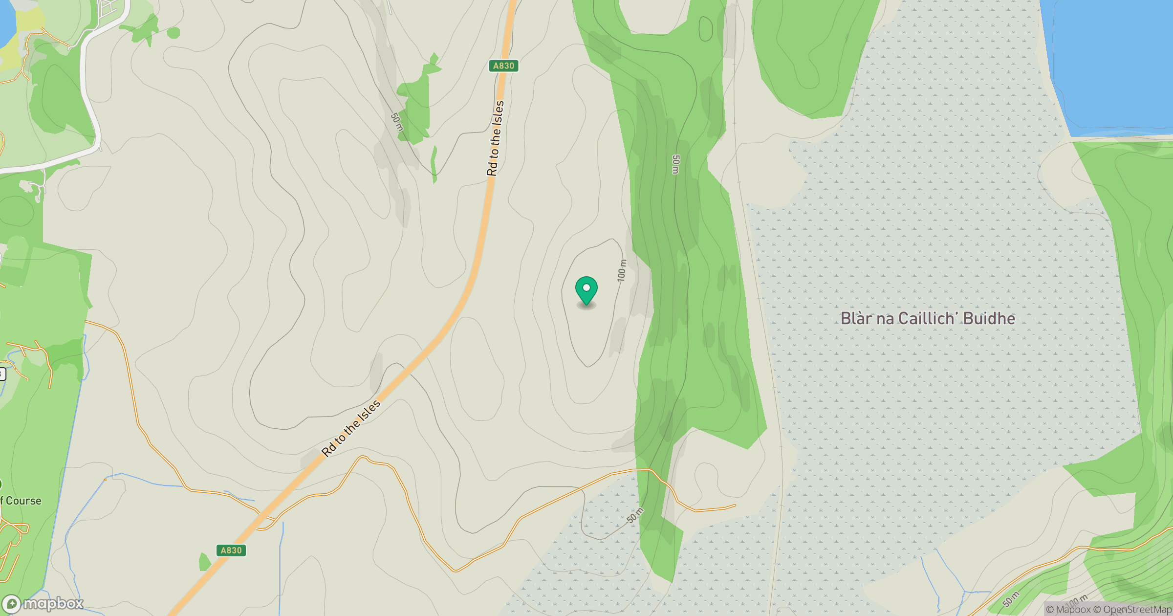
Grid reference: NM673903
View on OpenStreetMapOpens a map in a new tab, centred on the hill.
Nearby Hills
Ladhar Bheinn
1,020m
Beinn Sgritheall
974m
An Caisteal
622m
Blabheinn [Bla Bheinn]
929m
Sgurr na Stri
495m
No comments yet. Be the first.