

Allestree Park
Good walks are even better shared.
SK3340 : Public footpath off Woodlands Lane, Quarndon
Richard Vince Photo source
Overview
Allestree Park: A Hidden Gem
Nestled just on the outskirts of Derby, Allestree Park is a splendid urban park that offers a breath of fresh air and a taste of the great outdoors without having to venture too far from the city.
Geography and Geology
With a mixture of clay and limestone geology, the park holds a wealth of history beneath its grassy surface. The geological composition hints at a rich aquatic past, once inhabited by marine life long before the land became a vibrant park. Take a stroll and ponder over the millions of years that shaped the ground beneath your feet!
Routes and Trails
There are multiple routes suitable for all, from novice walkers to seasoned ramblers. The Allestree Park Circular Walk is a picturesque outing at 4.5 km, perfect for families or those looking to enjoy a peaceful afternoon. If you’re feeling a bit more adventurous, the Long Walk along the Derwent River presents a moderate 6.5 km path, where you can enjoy the gentle flow of the river while basking in the sounds of nature.
Scenic Views
From the higher vantage points in the park, you can admire the beautiful views of Derby and beyond, particularly brilliant during spring and summer when the flowers are blooming in all their glory. On clear days, you might even spot the distant hills of the Derbyshire Dales.
Hazards
Remember to wear appropriate footwear! Post-rain, some paths can get quite muddy, contributing to the charming British weather experience you may or may not be eager for. Keep an eye out for cyclists and joggers if you prefer a leisurely stroll.
Access and Facilities
Accessing Allestree Park is a breeze, with plenty of parking available at the entrance. Buses from Derby city centre frequently make the short journey to the park, making it an easy destination for those relying on public transport. Facilities include toilets, picnic areas for al fresco dining, and a café where you can indulge in a well-deserved treat after your walk.
Historical Significance
Allestree Park not only caters to our modern-day needs for recreation but also stands as a testament to the rich local history, once serving as grounds for the area's gentry. The name itself pays homage to a legacy that stretches back centuries.
Grab your walking boots, and don’t forget the picnic! Allestree Park awaits with its tranquil paths and scenic spots; it's the perfect escape from the hustle and bustle of daily life. Happy hiking!
Explore routes near Allestree Park
Walks starting near this hill. Open a route to check its map, distance and full itinerary.
Kedleston Hall: Long Walk, woodland and lakes
View route
Derby Derwent Riverside walk
View route
Shipley Country Park: Osborne’s Pond, hall site and Mapperley Reservoir
View route
Elvaston Castle: lake, historic gardens and Golden Gates
View route
Route planning notes
These notes describe possible approaches. Check a route's map and access information when planning your walk.
Allestree Park Circular Walk
This circular route takes you through the beautiful parkland, around lake areas, and through pockets of woodland. Perfect for a leisurely day out.
Long Walk along the Derwent River
Follow the scenic paths alongside the Derwent River, perfect for walkers wanting to enjoy a bit of nature while keeping their feet dry.
Make a day of it, together
Find someone to share the walk with, or organise a day out along a route you like.
Photo Gallery
View all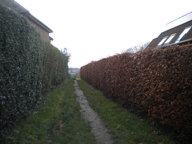 Photo could not load
SK3340 : Public footpath off Woodlands Lane, Quarndon
Richard Vince
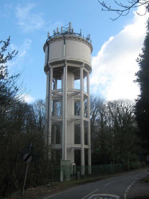 Photo could not load
SK3340 : Water Tower, Woodlands Road, Quarndon, Derbyshire
Eamon Curry
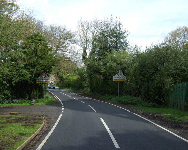 Photo could not load
SK3340 : Entering Quarndon
JThomas
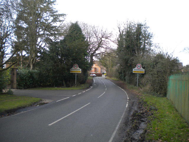 Photo could not load
SK3340 : Woodlands Road approaching Quarndon
Richard Vince
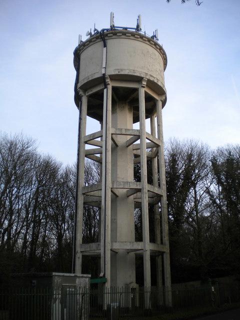 Photo could not load
SK3340 : Water tower south of Quarndon
Richard Vince
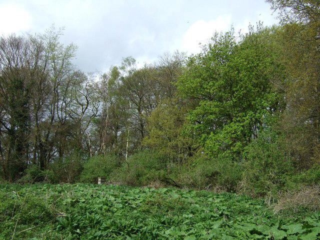 Photo could not load
SK3340 : Woodland near Quarndon
JThomas
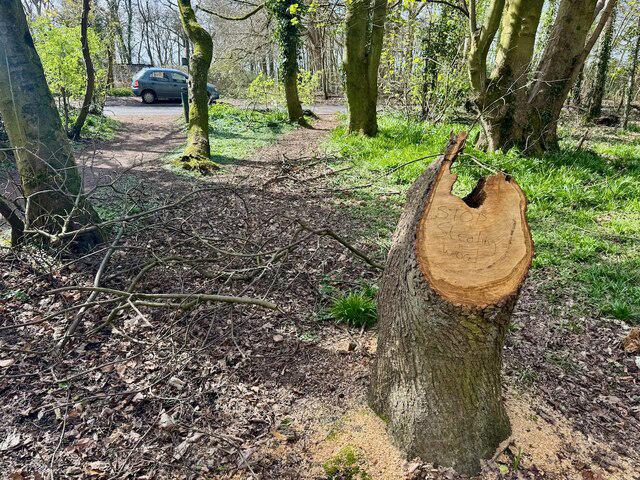 Photo could not load
SK3340 : Stop stealing wood
David Lally
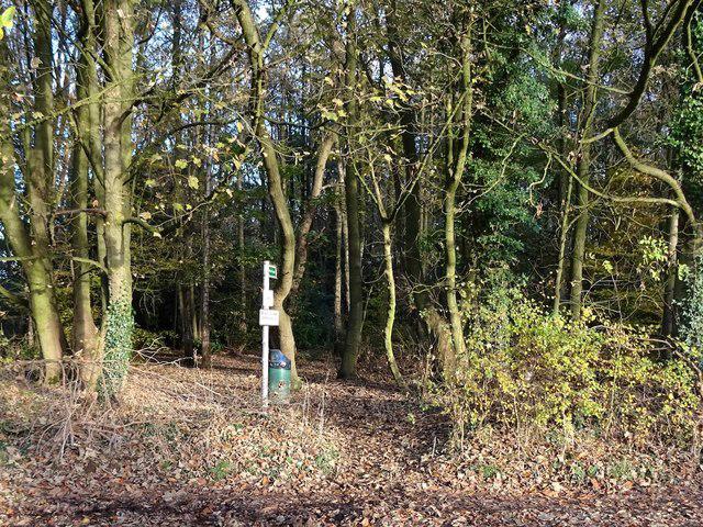 Photo could not load
SK3340 : Public footpath into Big Wood
Ian Calderwood
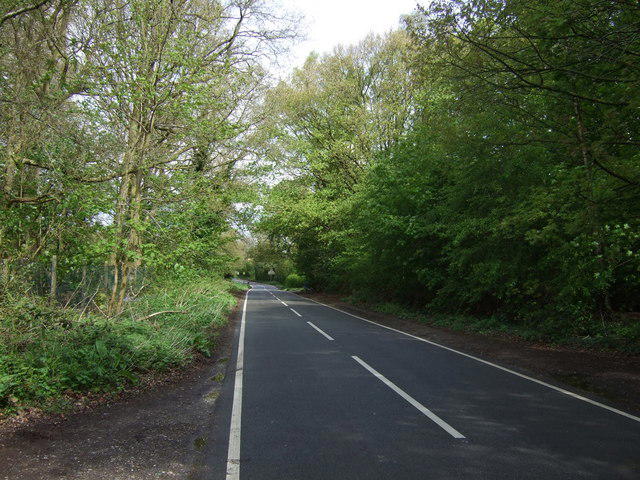 Photo could not load
SK3340 : Woodlands Road
JThomas
Hill facts and local notes
Classifications
Elevation
138m
453 ft
Prominence
6m
Coordinates
52.9619, -1.4956
SK339406
OS Map
119 128
Explorer: 259E
At the Summit
While Allestree Park does not boast a summit in the traditional sense, its elevated areas offer views of the surrounding landscape and the park itself, featuring a colourful array of flowerbeds and a charming boating lake.
Terrain & Geology
Allestree Park is situated on a mix of clay and limestone, providing a fascinating insight into the geological history of the region. The sedimentary deposits here offer a glimpse into the ancient seabeds that once covered this area.
Views & Scenery
On clear days, the views extend towards the outskirts of Derby, with the rolling hills of the Derbyshire Dales visible in the distance.
History & Heritage
Name Origin
The name 'Allestree' is believed to originate from Old English, meaning 'the tree of Allen's estate'.
Historical Significance
Allestree Park has historical significance as part of the estate grounds used by the local aristocracy, and it has been an important recreational area for locals for many generations.
Getting There & Facilities
Parking
There is ample parking available at Allestree Park car park, adjacent to the park entrance.
Public Transport
Regular bus services operate from Derby city centre to Allestree Park. Check local schedules for the latest information.
Nearby Facilities
Facilities within the park include public toilets, picnic areas, and a café near the visitor centre.
Safety Information
Known Hazards
- Muddy paths after rainfall can be slippery. Be cautious on paved routes as they may be used by cyclists and joggers.
General Safety Tips
- Check weather conditions before setting out
- Carry appropriate clothing and equipment
- Let someone know your planned route
- Take a map, compass, and GPS device
- Carry emergency supplies: food, water, first aid kit, torch
Hills
Some common questions about the hills answered
Are there group walks up Allestree Park?
Many walkers use Walkmates to join or organise walks with others. You can check for group walks around Allestree Park through the maps
Are there other walkers around Allestree Park?
Activity varies by location and time, but Walkmates lets you see whether others have shared walks or shown interest in this area. Find other people through the walking friends search walking friends for Allestree Park search or of course create your own walk for Allestree Park
Can I organise a walk to Allestree Park?
Yes. If there aren’t any walks listed already, you can create a walk and make it available for others to join.
If you're signed up to Walkmates, you can create a walk to Allestree Park.
How do I find a walk up this hill?
There are often multiple ways to walk this hill, depending on experience and route preference. Walkmates helps you explore walks and routes that others have shared.
Can I suggest a new route up Allestree Park?
Yes. You can suggest or create routes to share with others. Walkmates focuses on the social side of walking, so routes are used to help people organise walks and explore areas together, rather than as detailed navigation tools or route libraries.
Other uses really appreciate knowledgeable walkers sharing their routes. Share your favourite route to Allestree Park here
The is an error or something incorrect about this hill. How do I let you know?
We always strive to keep the information on Walkmates as accurate as possible. If you find an error, please let us know through the contact form and we'll aim to correct it as quickly as possible
Community Discussion
Comments
Location
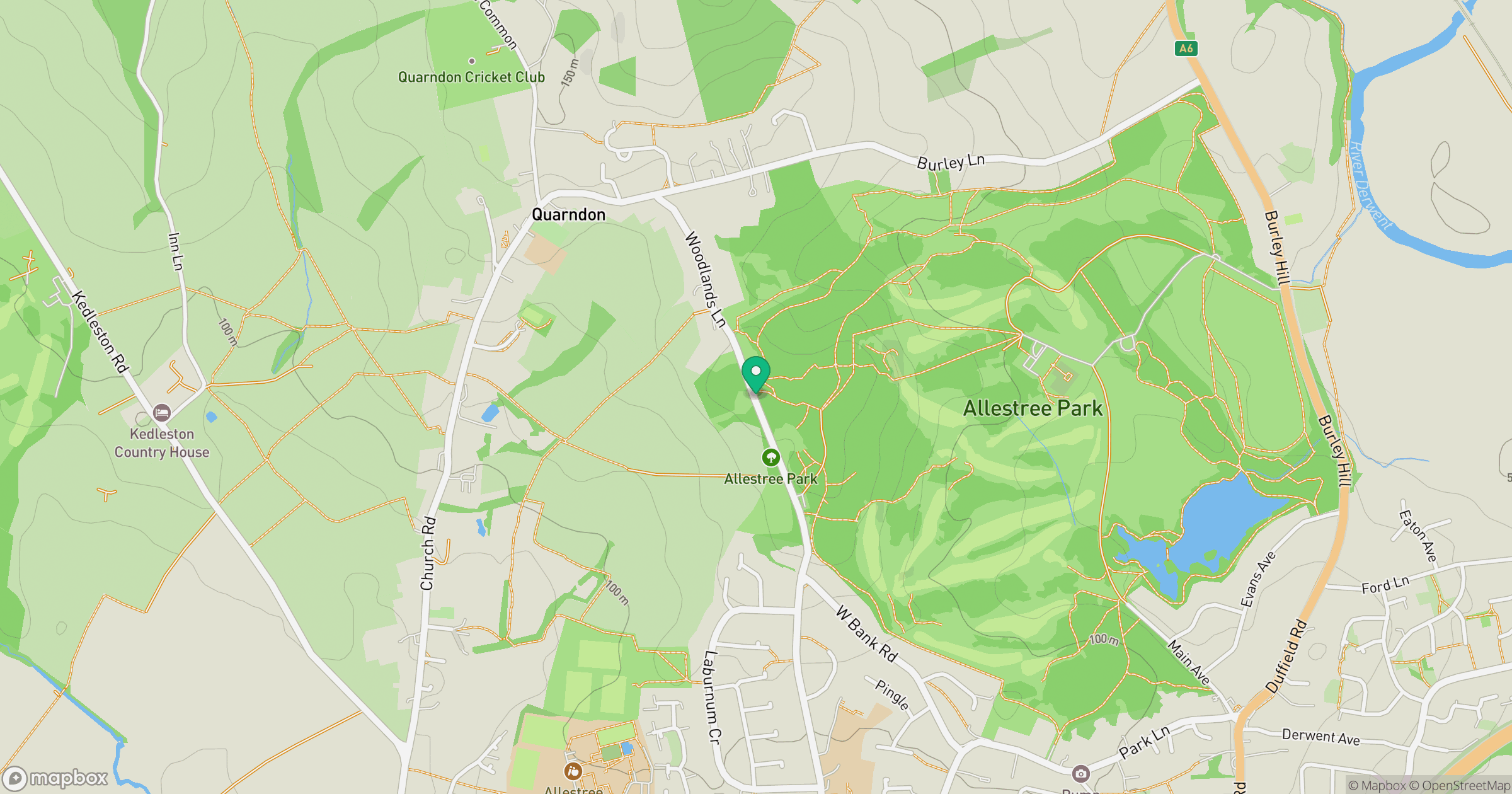
Grid reference: SK339406
View on OpenStreetMapOpens a map in a new tab, centred on the hill.
Nearby Hills
The Roaches
505m

Kinder Scout
636m
Rombalds Moor [Ilkley Moor]
402m

The Wrekin
407m
Worcestershire Beacon
425m
No comments yet. Be the first.