

Muncaster Fell
Good walks are even better shared.
SD1198 : On Hooker Crag
Michael Graham Photo source
Overview
Muncaster Fell
Muncaster Fell, standing at an elevation of 519 meters, welcomes visitors with a charm that’s hard to resist. Nestled in the beautiful Lake District, it boasts its status as a Marilyn, a nod to its prominence over the surrounding hills.
Geology
The geology of Muncaster Fell is rooted in the Carboniferous period, showcasing a tapestry of sedimentary rocks that contribute to its unique landscape. The combination of sandstone and limestone offers not just a feast for the eyes, but a thriving habitat for wildlife.
Routes
There are a key couple of popular routes to explore:
- Muncaster Castle Route: At approximately 3.5 km, this moderate trail leads through lush woodlands before ascending the fell.
- Ravenglass Route: A challenging alternative of about 5.5 km, this trail rewards hikers with spectacular coastal views before reaching the summit.
Summit Features
Upon reaching the summit, you’ll find a quaint stone cairn, a trusty companion to hikers. The views are absolutely spectacular, with the Isle of Man visible on clear days, providing a cheeky wave to those below.
Terrain
Muncaster Fell's terrain is a delightful mix of grassy slopes and rocky outcrops, interspersed with boggy sections that may test the mettle of even seasoned hikers. A good pair of gaiters might save your socks from the notorious muddy surprises.
Views
The summit opens up to breathtaking views of the Western Lake District, showing off the majesty of Scafell Pike while the coastline of the Solway Firth stretches out like a shimmering blanket below. Spring and autumn are particularly enchanting times to ascend, with nature displaying its finest colours.
Hazards
As with many mountain adventures, it's essential to be prepared for changing weather conditions. Fog can set in without warning, and the rocky areas can become slippery in the rain. Keep an eye on the sky and your foot placement!
Access
Reaching Muncaster Fell is straightforward, with a car park conveniently situated near Muncaster Castle. For those relying on public transport, Ravenglass Rail Station is your best bet, offering a scenic ride into the heart of the fells.
Facilities
Don't forget to treat yourself at the café in Muncaster Castle after a satisfying hike, where toilets are also available. A perfect way to unwind and regale your companions with tales of your adventure!
History
The name Muncaster translates roughly to 'hill with a fort,' whispering tales of ancient times. Additionally, the area's rich history includes its mining past and its inspiration to notable poets.
So, lace up those hiking boots, grab your sense of adventure, and make your way to Muncaster Fell for a memorable experience in the great outdoors!
Explore routes near Muncaster Fell
Walks starting near this hill. Open a route to check its map, distance and full itinerary.
Scafell Pike via Brown Tongue and Hollow Stones
View route
Great Carrs Halifax Wreckage from Wrynose Pass
View route
Steeple, Scoat Fell and Haycock from Ennerdale
View route
Scafell Pike from Seathwaite via the Corridor Route
View route
Route planning notes
These notes describe possible approaches. Check a route's map and access information when planning your walk.
Muncaster Castle Route
A picturesque route starting from the grounds of Muncaster Castle, guiding you through enchanting woodlands before heading up to the fell.
Ravenglass Route
A longer trail from the village of Ravenglass, which offers stunning coastal views before ascending to the fell.
Make a day of it, together
Find someone to share the walk with, or organise a day out along a route you like.
Photo Gallery
View all Photo could not load
SD1198 : On Hooker Crag
Michael Graham
 Photo could not load
SD1198 : Rhododendrons in the mist, Muncaster Fell
N Chadwick
 Photo could not load
SD1198 : Bog on Muncaster Fell
N Chadwick
 Photo could not load
SD1198 : On Muncaster Fell
Michael Graham
 Photo could not load
SD1198 : The summit of Muncaster Fell
David Purchase
 Photo could not load
SD1198 : England's Newest Marilyn
Michael Graham
Hill facts and local notes
Classifications
Elevation
232m
761 ft
Prominence
193m
Coordinates
54.3758, -3.3631
SD115986
OS Map
96
Explorer: OL6N
At the Summit
The summit is marked by a small stone cairn that has seen countless eager hikers take selfies. On a clear day, you can even see the Isle of Man poking its head above the horizon, saying hello!
Terrain & Geology
Muncaster Fell is primarily composed of sedimentary rock from the Carboniferous period, which forms the hilly terrain of the area. The surrounding landscape boasts a mix of sandstone and limestone, creating a varied geology that supports diverse plant and animal life.
Views & Scenery
From the summit, one can gaze upon the stunning vistas of the Western Lake District, including the rugged peaks of Scafell Pike and the picturesque coastline of the Solway Firth.
History & Heritage
Name Origin
The name 'Muncaster' is believed to derive from Old Norse, with 'mun' meaning 'hill' and 'kaster' suggesting 'fort,' referring to an ancient site nearby.
Historical Significance
The fell and its surrounding areas have been significant throughout history, particularly in the context of local mining activities and as part of the picturesque landscape that inspired famed writers like Wordsworth.
Getting There & Facilities
Parking
There is a small car park near Muncaster Castle, just a short walk from the beginning of the main trail.
Public Transport
Ravenglass Rail Station is the nearest station, with regular trains linking it to nearby towns. From there, Muncaster Castle can be reached via a bus service.
Nearby Facilities
Muncaster Castle offers excellent facilities, including a café for post-hike refreshments, and toilets are available for use before hitting the trail.
Safety Information
Known Hazards
- As with any fell, watch out for sudden weather changes, particularly fog that can appear seemingly out of nowhere. The rocky areas can be slippery when wet, so tread carefully!
General Safety Tips
- Check weather conditions before setting out
- Carry appropriate clothing and equipment
- Let someone know your planned route
- Take a map, compass, and GPS device
- Carry emergency supplies: food, water, first aid kit, torch
Hills
Some common questions about the hills answered
Are there group walks up Muncaster Fell?
Many walkers use Walkmates to join or organise walks with others. You can check for group walks around Muncaster Fell through the maps
Are there other walkers around Muncaster Fell?
Activity varies by location and time, but Walkmates lets you see whether others have shared walks or shown interest in this area. Find other people through the walking friends search walking friends for Muncaster Fell search or of course create your own walk for Muncaster Fell
Can I organise a walk to Muncaster Fell?
Yes. If there aren’t any walks listed already, you can create a walk and make it available for others to join.
If you're signed up to Walkmates, you can create a walk to Muncaster Fell.
How do I find a walk up this hill?
There are often multiple ways to walk this hill, depending on experience and route preference. Walkmates helps you explore walks and routes that others have shared.
Can I suggest a new route up Muncaster Fell?
Yes. You can suggest or create routes to share with others. Walkmates focuses on the social side of walking, so routes are used to help people organise walks and explore areas together, rather than as detailed navigation tools or route libraries.
Other uses really appreciate knowledgeable walkers sharing their routes. Share your favourite route to Muncaster Fell here
The is an error or something incorrect about this hill. How do I let you know?
We always strive to keep the information on Walkmates as accurate as possible. If you find an error, please let us know through the contact form and we'll aim to correct it as quickly as possible
Community Discussion
Comments
Location
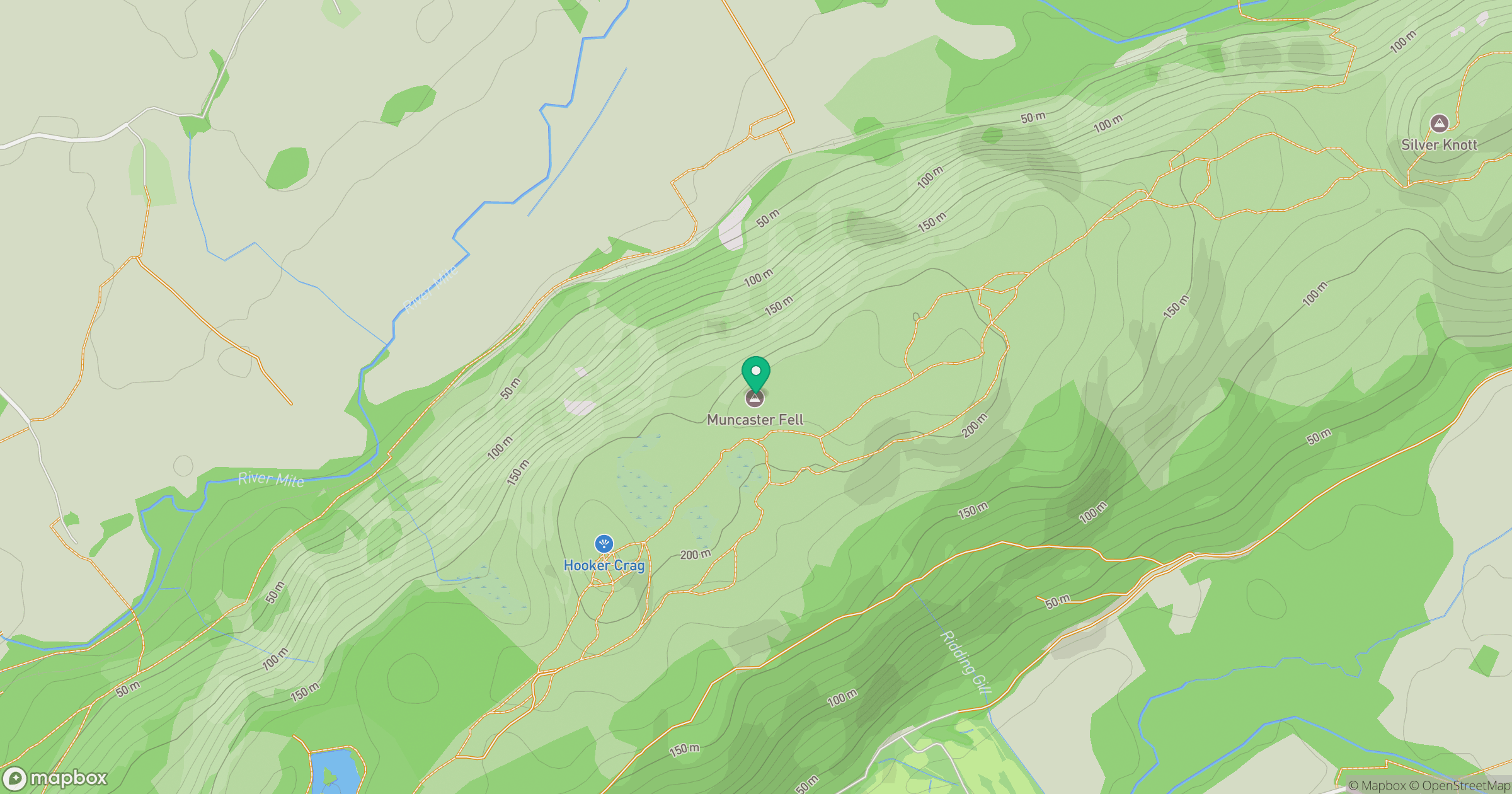
Grid reference: SD115986
View on OpenStreetMapOpens a map in a new tab, centred on the hill.
Nearby Hills
Black Combe
600m
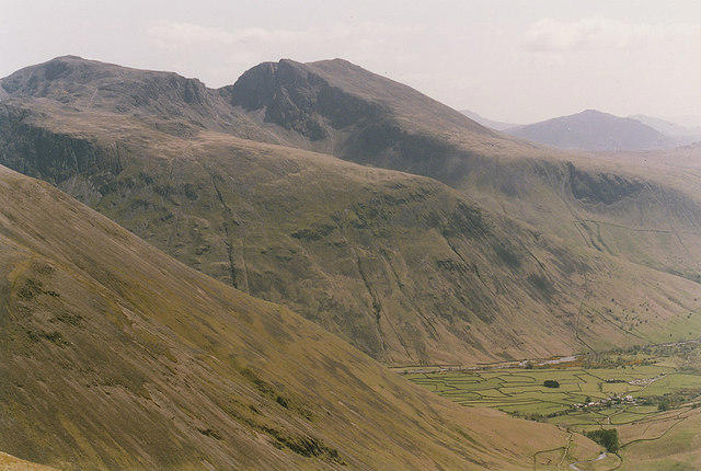
Pillar
892m
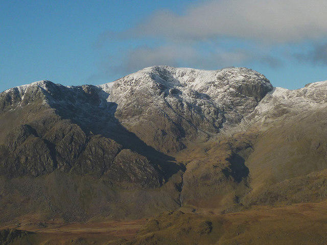
Scafell
964m
High Stile [Grey Crag - High Stile]
806m
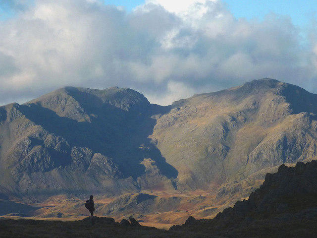
Scafell Pike
978m
No comments yet. Be the first.