
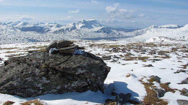
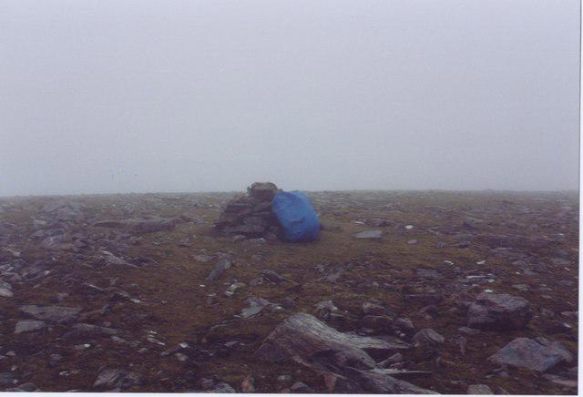
Upland / Hill
Circular
Medium
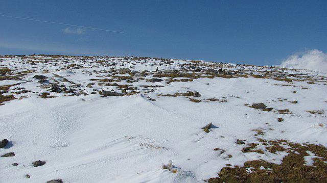
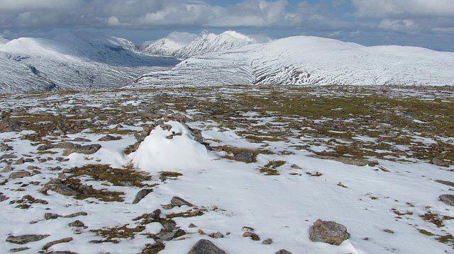
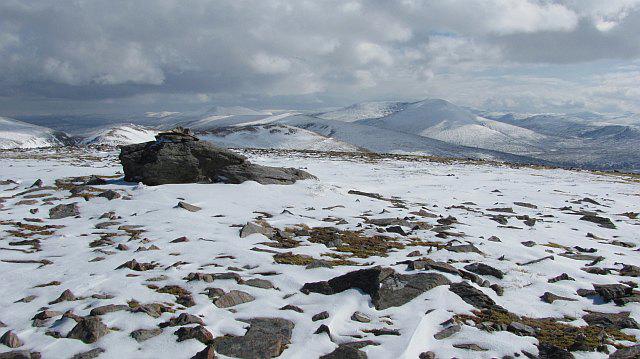
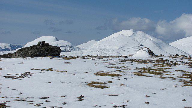
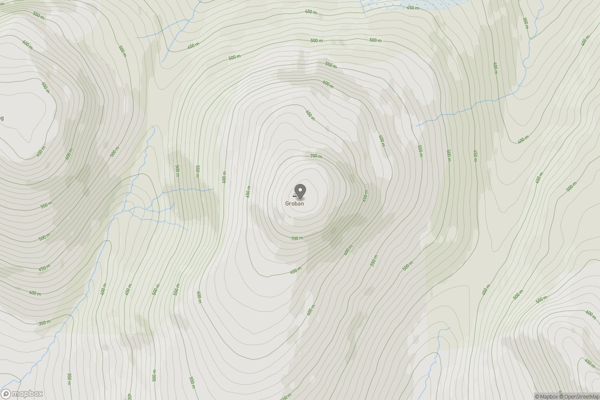
Ben Klibreck
Trudi
Walk organiser

No comments yet. Be the first to share your thoughts!