

Fellbarrow - Mosser Fell
Good walks are even better shared.
NY1324 : Steep path down Fellbarrow.
steven ruffles Photo source
Overview
Fellbarrow - Mosser Fell
Fellbarrow, standing tall at 490 meters, is a subtle giant within the gorgeous Lake District. A Marilyn, it's often overlooked but offers breathtaking views that will make you question why fewer folk venture this way.
Geology
Fellbarrow is primarily composed of volcanic rock formations, including andesites and dacites that originated during the Ordovician period. The formation boasts features indicative of glacial erosion, making it a fascinating spot for both hikers and geology enthusiasts.
The Ascent
The most common route begins at the peaceful village of Mosser, where the path is well-trodden, though you may encounter a few slick spots after a good rain. It takes roughly 1.5 hours to reach the summit at a moderate pace. Don’t forget to enjoy the countryside views as you climb!
The Summit
At the summit, hikers are greeted with a well-constructed cairn, alongside a small stone shelter that’s perfect for a moment of reflection or a bite to eat. The views extending to the Skiddaw Mountains and Bassenthwaite Lake are simply magnificent. If the skies are clear, don't forget to take photos; it's not every day you'll be graced with such beauty.
Terrain and Hazards
This terrain is mostly grassy, with some rocky areas. However, do watch for muddy sections—definitely wear boots! Remember, the weather can change in a heartbeat in the Lakes, so a raincoat might not just be a good idea but a necessity.
Nearby Attractions
Don’t miss the chance to explore nearby Low Fell and Grove Head, offering additional adventures and stunning viewpoints.
Access and Amenities
For those driving, parking right in Mosser is your best bet. Just ensure you park responsibly. If you prefer public transport, local buses do stop by Mosser, although services may be limited, especially on Sundays.
After your hike, treat yourself to a slice of cake back in Cockermouth. It’s just the reward you’ll need!
Conclusion
So, there you have it! Whether you’re a seasoned hiker or just looking for a leisurely stroll, Fellbarrow - Mosser Fell will not disappoint. Don't forget your camera—your friends will hardly believe you made it out to this hidden gem!
Happy hiking!
Explore routes near Fellbarrow - Mosser Fell
Walks starting near this hill. Open a route to check its map, distance and full itinerary.
Whinlatter dark skies walk
View route
Whinlatter dark skies walk
View route
Steeple, Scoat Fell and Haycock from Ennerdale
View route
Binsey from Binsey Lodge Direct Out and Back Wainwright
View route
Route planning notes
These notes describe possible approaches. Check a route's map and access information when planning your walk.
From Mosser Village
This route starts in the quaint village of Mosser, leading you through lush farmland and along scenic paths before ascending the gentle slopes of Fellbarrow.
Make a day of it, together
Find someone to share the walk with, or organise a day out along a route you like.
Photo Gallery
View all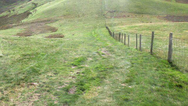 Photo could not load
NY1324 : Steep path down Fellbarrow.
steven ruffles
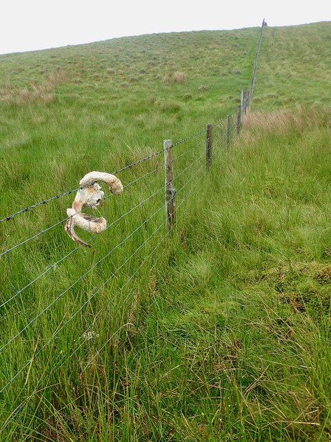 Photo could not load
NY1324 : Fence, Fellbarrow
Mick Garratt
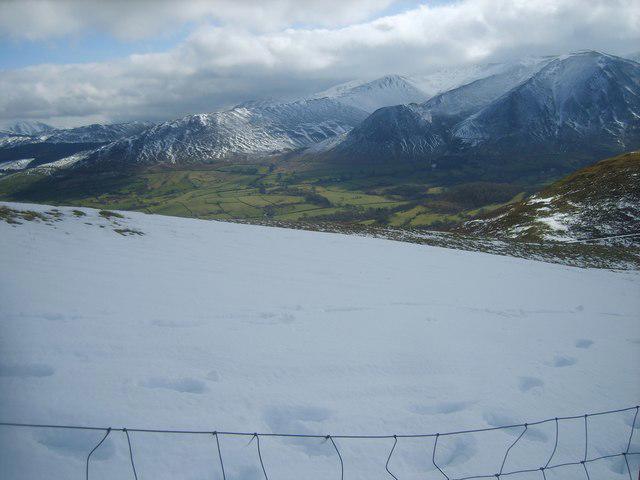 Photo could not load
NY1324 : On Fellbarrow
Michael Graham
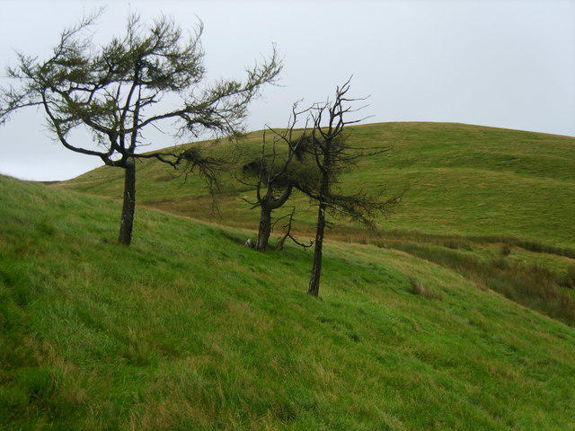 Photo could not load
NY1324 : On Fellbarrow
Michael Graham
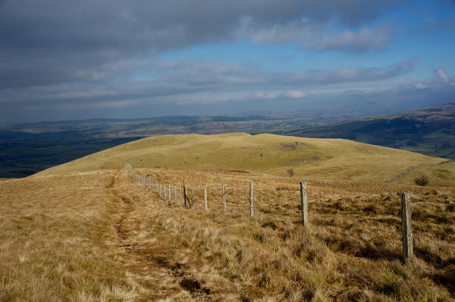 Photo could not load
NY1324 : Fence on Fellbarrow
Tom Richardson
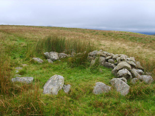 Photo could not load
NY1324 : Old Cairn, Fellbarrow
Michael Graham
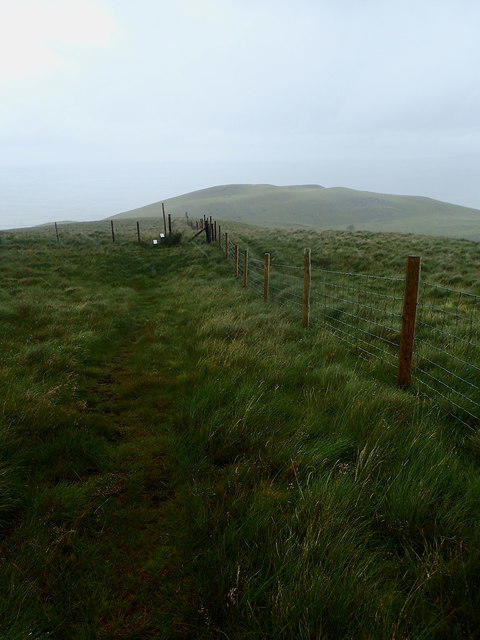 Photo could not load
NY1324 : Fence junction, Fellbarrow
Mick Garratt
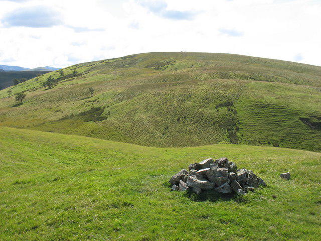 Photo could not load
NY1324 : Fellbarrow from Hatteringall Head
David Purchase
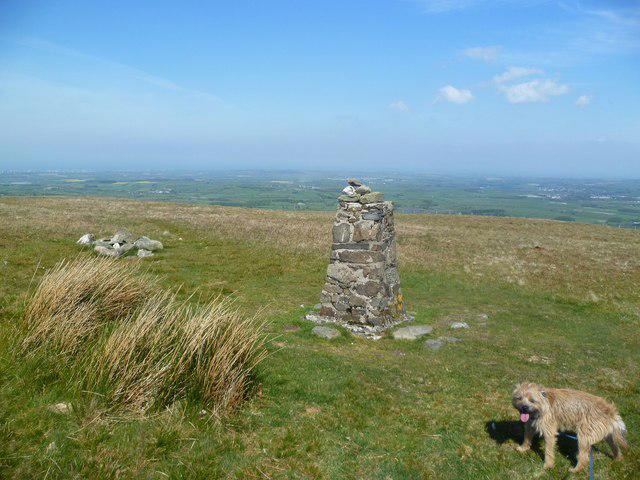 Photo could not load
NY1324 : On Fellbarrow
Michael Graham
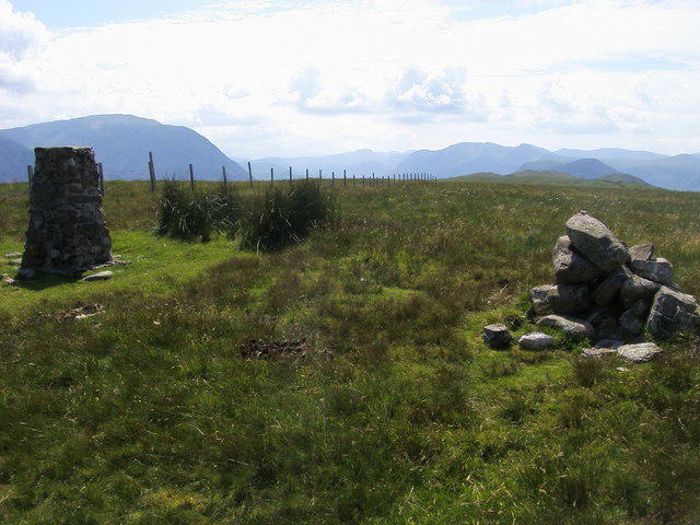
NY1324 : Fellbarrow Summit
Shaun Ferguson
Hill facts and local notes
Classifications
Elevation
416m
1,365 ft
Prominence
52m
Coordinates
54.6058, -3.3447
NY132242
OS Map
89
Explorer: OL4S 303
At the Summit
The summit boasts a prominent cairn that serves as a perfect photo opportunity. There’s also a small stone shelter perfect for a quick rest from the winds.
Terrain & Geology
Primarily composed of volcanic rocks, particularly andesites and dacites formed during the Ordovician period. The landscape exhibits distinct features typical of glacial erosion.
Views & Scenery
On a clear day, you can see the serene waters of Bassenthwaite Lake, the majestic Skiddaw range, and the distant outline of the Solway Firth.
History & Heritage
Name Origin
The name 'Fellbarrow' suggests a combination of 'fell', meaning mountain in Old Norse, and 'barrow', possibly referring to the burial mounds found in the area.
Historical Significance
Like many hills in the Lake District, Fellbarrow holds historical significance tied to local folklore and has been a point of interest for walkers over generations.
Getting There & Facilities
Parking
There is limited roadside parking available in Mosser Village. Make sure not to block any driveways!
Public Transport
The nearest bus stop is in the village of Mosser, serviced by occasional routes from Cockermouth.
Nearby Facilities
Try the nearby cafe in Cockermouth for a well-deserved slice of cake after your hike. There are public toilets in the town.
Safety Information
Known Hazards
- Watch out for uneven terrain and soggy patches; good boots are essential to keep your feet dry. Also, beware of sudden weather changes—it's the Lake District after all!
General Safety Tips
- Check weather conditions before setting out
- Carry appropriate clothing and equipment
- Let someone know your planned route
- Take a map, compass, and GPS device
- Carry emergency supplies: food, water, first aid kit, torch
Hills
Some common questions about the hills answered
Are there group walks up Fellbarrow - Mosser Fell?
Many walkers use Walkmates to join or organise walks with others. You can check for group walks around Fellbarrow - Mosser Fell through the maps
Are there other walkers around Fellbarrow - Mosser Fell?
Activity varies by location and time, but Walkmates lets you see whether others have shared walks or shown interest in this area. Find other people through the walking friends search walking friends for Fellbarrow - Mosser Fell search or of course create your own walk for Fellbarrow - Mosser Fell
Can I organise a walk to Fellbarrow - Mosser Fell?
Yes. If there aren’t any walks listed already, you can create a walk and make it available for others to join.
If you're signed up to Walkmates, you can create a walk to Fellbarrow - Mosser Fell.
How do I find a walk up this hill?
There are often multiple ways to walk this hill, depending on experience and route preference. Walkmates helps you explore walks and routes that others have shared.
Can I suggest a new route up Fellbarrow - Mosser Fell?
Yes. You can suggest or create routes to share with others. Walkmates focuses on the social side of walking, so routes are used to help people organise walks and explore areas together, rather than as detailed navigation tools or route libraries.
Other uses really appreciate knowledgeable walkers sharing their routes. Share your favourite route to Fellbarrow - Mosser Fell here
The is an error or something incorrect about this hill. How do I let you know?
We always strive to keep the information on Walkmates as accurate as possible. If you find an error, please let us know through the contact form and we'll aim to correct it as quickly as possible
Community Discussion
Comments
Location
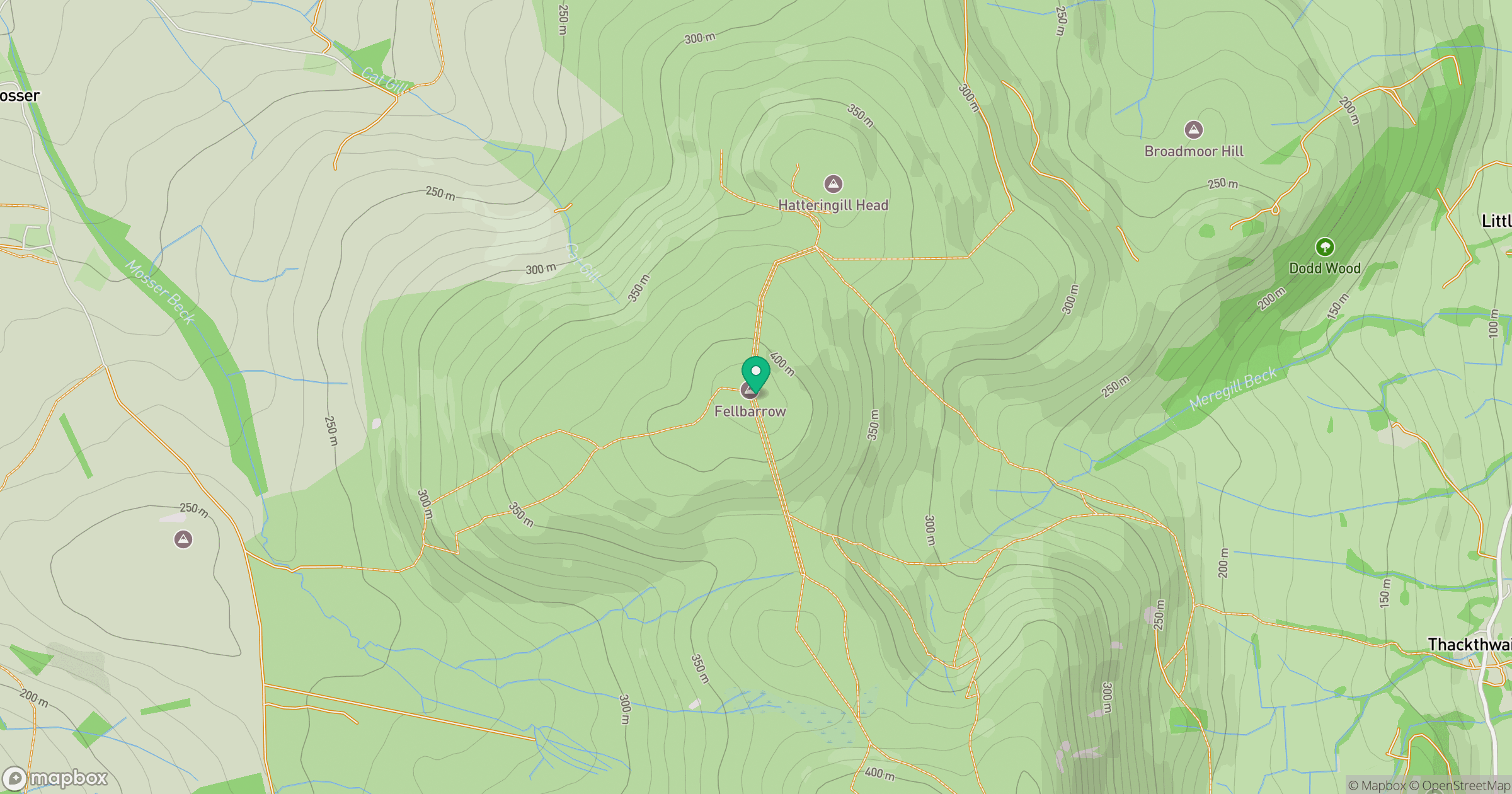
Grid reference: NY132242
View on OpenStreetMapOpens a map in a new tab, centred on the hill.
Nearby Hills
Grasmoor
852m
Crag Hill [Eel Crag]
839m
Grisedale Pike
790m
High Stile [Grey Crag - High Stile]
806m
Pillar
892m
No comments yet. Be the first.