
Cnoc an Chuillinn East Top
Good walks are even better shared.
Overview
Cnoc an Chuillinn East Top
Cnoc an Chuillinn East Top is not just another hill in the Cairngorms; it boasts a unique charm that beckons outdoor enthusiasts and casual walkers alike. Standing at an elevation of 613 meters, this Marilyn offers delightful views and a satisfying ascent.
Geology
The geology of Cnoc an Chuillinn East Top is marked by schist, a metamorphic rock formed under heat and pressure. As you ascend, you’ll notice the rocky outcrops that provide a glimpse into the mountain’s glacial past.
Routes
The most popular route begins at Glen Etive and is approximately 10.5 km long, taking around 3.5 hours to complete. It’s rated as moderate, making it accessible for most hikers, although a reasonable level of fitness is advised. You'll wind your way through the glen, dodge the occasional sheep, and revel in the beauty that surrounds you.
Summit Features
Upon reaching the summit, you'll be greeted by a cairn that serves as a perfect monument to your achievement. This is your moment—go ahead, take those summit selfies before indulging in a well-earned snack!
Terrain
Expect a mix of rocky scrambles and grassy slopes. A sturdy pair of boots is your best friend here—we all know how cheeky those loose rocks can be.
Views
The views from the top are nothing short of magnificent. Glen Etive stretches below as you gaze upon the iconic Buachaille Etive Mòr. It's a great spot for photography, particularly during spring and summer when the wildflowers are in full bloom.
Hazards
Although the trek is manageable, do keep an eye on the weather. Conditions can change quickly, and the terrain can become slippery when wet. Think of it this way: when climbing a hill, your safety should always be in the forefront—unless you happen to trip over your own shoelaces!
Nearby Summits
If you're feeling particularly ambitious, consider tackling nearby peaks like Buachaille Etive Mòr and Stob na Broige. They are worth the extra effort!
Access
Parking is readily available at the end of the road leading to Dalness Estate. If you rely on public transport, be aware that renting a car may provide you greater flexibility, especially when exploring such stunning landscapes. Fort William is your closest town, brimming with amenities.
Facilities
After your adventure, why not treat yourself to a slice of cake or a hearty meal in Fort William? The town has a variety of cafés and pubs waiting to pamper hungry hikers.
History
The name 'Cnoc an Chuillinn' about translates to 'Hill of the Holly', reflecting the lush greenery that flourishes in this area. Historically, the mountain is steeped in local folklore—there are whispers of mythical creatures that once roamed these hills. Who knows, perhaps you’ll spot one on your walk!
In summary, Cnoc an Chuillinn East Top offers a wonderful experience for those willing to lace up their boots and take on the climb. Just remember to pack your snacks—hiking burns more calories than you might think!
Enjoy your adventure!
Explore routes near Cnoc an Chuillinn East Top
Walks starting near this hill. Open a route to check its map, distance and full itinerary.
Route planning notes
These notes describe possible approaches. Check a route's map and access information when planning your walk.
Begin at Glen Etive
The most popular route starts from Glen Etive, leading through a scenic glen and up the slopes of the mountain.
Make a day of it, together
Find someone to share the walk with, or organise a day out along a route you like.
Hill facts and local notes
Classifications
Elevation
923m
3,028 ft
Prominence
17m
Coordinates
51.9911, -9.7069
V828834
OS Map
78
At the Summit
The summit is crowned with a small cairn, offering a perfect spot for a celebratory snack (or an impromptu dance if the mood strikes!).
Terrain & Geology
The mountain is composed predominantly of schist, resulting in rocky outcrops and smooth, glacially polished areas that display the incredible geological history of the region.
Views & Scenery
From the summit, enjoy sweeping views of Glen Etive, the majestic Buachaille Etive Mòr, and the expansive moors of Rannoch.
History & Heritage
Name Origin
The name 'Cnoc an Chuillinn' translates to 'Hill of the Holly', a nod to the area's rich natural flora.
Historical Significance
The mountain holds a special place in local folklore, often associated with old Gaelic legends and stories of mythical creatures.
Getting There & Facilities
Parking
There is a parking area at the end of the road leading to the Dalness Estate where you can start your adventure.
Public Transport
Buses run to nearby areas; however, a car is recommended for convenience.
Nearby Facilities
While there are no facilities directly at the base, Fort William has plenty of cafés, shops, and even a few charming pubs to relax after your trek.
Safety Information
Known Hazards
- Loose rocks and unstable footing can make the ascent tricky, especially in wet conditions. Always check the weather before you venture out!
General Safety Tips
- Check weather conditions before setting out
- Carry appropriate clothing and equipment
- Let someone know your planned route
- Take a map, compass, and GPS device
- Carry emergency supplies: food, water, first aid kit, torch
Hills
Some common questions about the hills answered
Are there group walks up Cnoc an Chuillinn East Top?
Many walkers use Walkmates to join or organise walks with others. You can check for group walks around Cnoc an Chuillinn East Top through the maps
Are there other walkers around Cnoc an Chuillinn East Top?
Activity varies by location and time, but Walkmates lets you see whether others have shared walks or shown interest in this area. Find other people through the walking friends search walking friends for Cnoc an Chuillinn East Top search or of course create your own walk for Cnoc an Chuillinn East Top
Can I organise a walk to Cnoc an Chuillinn East Top?
Yes. If there aren’t any walks listed already, you can create a walk and make it available for others to join.
If you're signed up to Walkmates, you can create a walk to Cnoc an Chuillinn East Top.
How do I find a walk up this hill?
There are often multiple ways to walk this hill, depending on experience and route preference. Walkmates helps you explore walks and routes that others have shared.
Can I suggest a new route up Cnoc an Chuillinn East Top?
Yes. You can suggest or create routes to share with others. Walkmates focuses on the social side of walking, so routes are used to help people organise walks and explore areas together, rather than as detailed navigation tools or route libraries.
Other uses really appreciate knowledgeable walkers sharing their routes. Share your favourite route to Cnoc an Chuillinn East Top here
The is an error or something incorrect about this hill. How do I let you know?
We always strive to keep the information on Walkmates as accurate as possible. If you find an error, please let us know through the contact form and we'll aim to correct it as quickly as possible
Community Discussion
Comments
Location
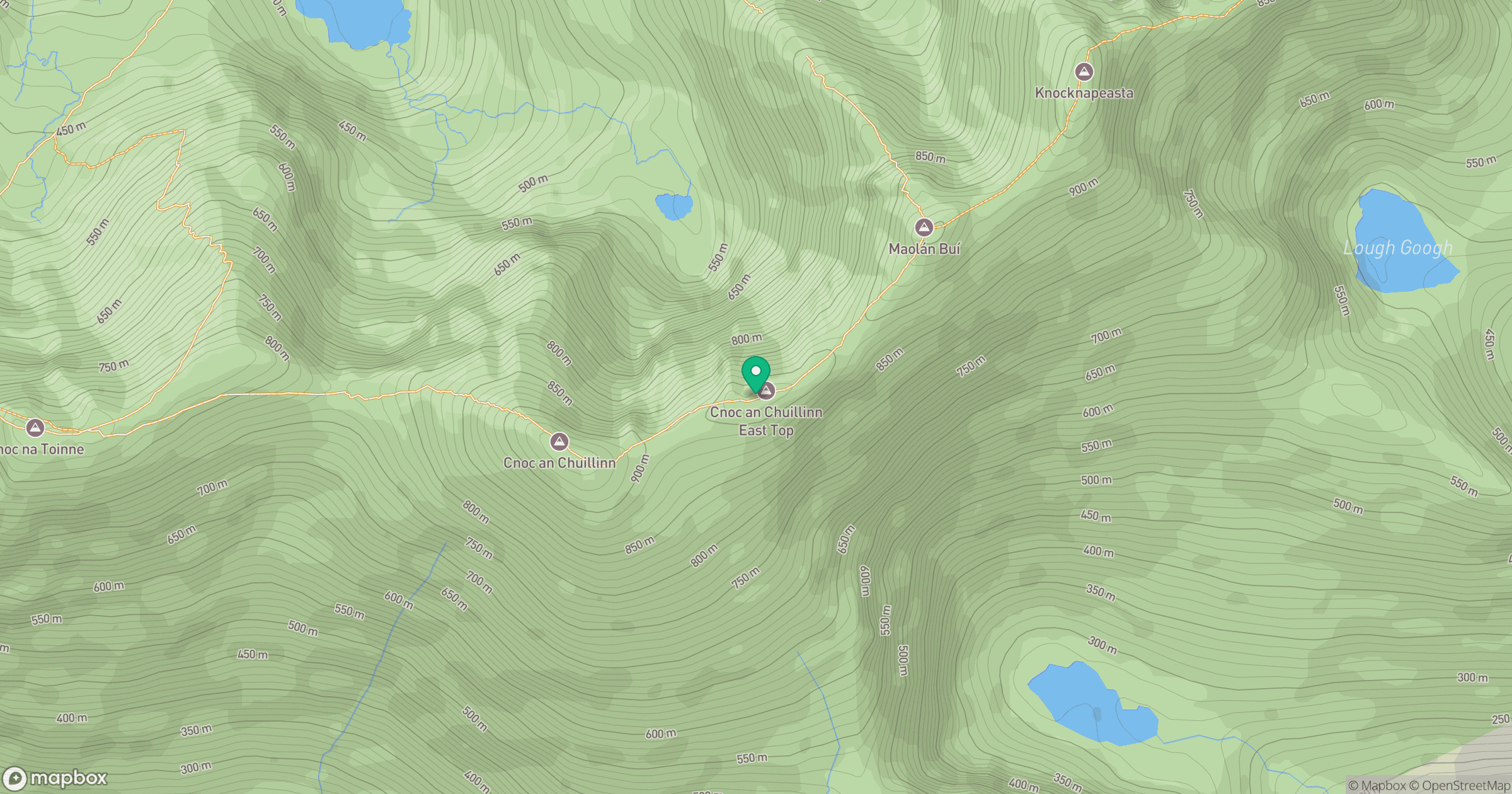
Grid reference: V828834
View on OpenStreetMapOpens a map in a new tab, centred on the hill.
No comments yet. Be the first.