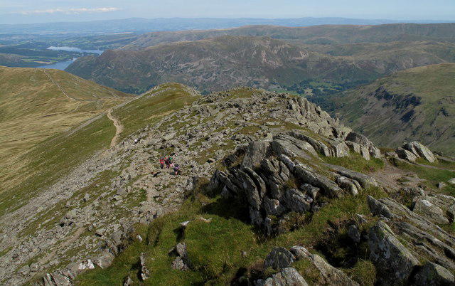
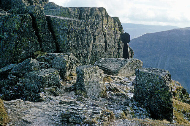
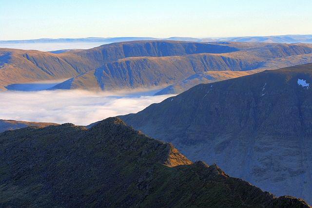
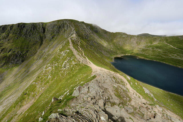
Striding Edge [High Spying How]

Striding Edge [High Spying How]

Striding Edge [High Spying How] Group Walks | Join a Walk

863m Elevation
31m Prominence
England Country

Join group walks, find walking companions and friends, or organise your own!

Classifications

Sim Hewitt Nuttall High Hill of Britain Sy

Looking for walking companions?

Don't walk alone! Find friendly walkers to explore Striding Edge [High Spying How] together. Join scheduled group walks or start your own.

Elevation

863m

2,831 ft

Prominence

31m

Coordinates

54.5254, -3.0049

NY350149

OS Map

90

Explorer: OL5S

At the Summit

The summit features a prominent cairn and offers stunning panoramic views across to the distant peaks and lakes.

Terrain & Geology

Rocky

The bedrock primarily consists of ancient volcanic rocks known as andesite and basalt, which contribute to the dramatic ridge profile seen today. The area is a true geologist's playground, offering insights into volcanic activity centuries ago.

Views & Scenery

From the summit, one can see the majestic Helvellyn, Red Tarn, and the sprawling Ullswater Lake. On clear days, glimpses of the surrounding fells are breath-taking.

History & Heritage

Name Origin

Striding Edge gets its name from the Old Norse word 'strae' meaning 'to stride' or 'trail', aptly describing the adventurous nature of the route.

Historical Significance

The area has seen its fair share of history; from being a popular hiking destination to featuring in local folklore and stories.

Popular Routes

Classic Helvellyn via Striding Edge

Challenging

This iconic route begins at Glenridding and ascends via Mires Beck and Birkhouse Moor. From there, it continues onto Striding Edge, a dramatic and exposed ridge leading to the summit of Helvellyn. After enjoying the views, descend via Swirral Edge, passing Red Tarn before returning to Glenridding.

12 km 5 hours

Helvellyn Circular via Striding and Swirral Edges

Challenging

Starting at Glenridding, this circular route takes you past Lanty’s Tarn and up to Birkhouse Moor. The path then leads to Striding Edge, where you'll traverse the exposed ridge to High Spying How and Helvellyn. Descend via Swirral Edge and take a scenic detour by Red Tarn on the way back.

11 km 5 hours

Striding Edge and Nethermost Pike Loop

Challenging

This route offers a quieter alternative, starting at Patterdale. Ascend via Grisedale Valley before tackling Striding Edge to reach Helvellyn. From the summit, follow the ridge to Nethermost Pike and descend via Grisedale Tarn, completing the loop back to Patterdale.

13 km 6 hours

Striding Edge from Glenridding with Red Tarn Return

Moderate

This out-and-back route starts in Glenridding and follows the popular path to Striding Edge. After crossing the ridge and reaching Helvellyn's summit, return via the same path, descending past Red Tarn for stunning views of the tarn surrounded by rugged peaks.

10 km 4.5 hours

Striding Edge via Sticks Pass and Raise

Very Challenging

A longer and less-traveled route starting at Glenridding. Ascend Sticks Pass and traverse the ridge to Raise, continuing to Helvellyn. Cross Striding Edge on the return, descending via Birkhouse Moor to complete the circuit.

15 km 7 hours

Getting There & Facilities

Parking

The nearest parking is at Glenridding, where the car parks can fill up quickly, especially during peak season.

Public Transport

Buses from Penrith to Glenridding operate regularly, providing access to the starting point of the hike.

Nearby Facilities

Glenridding has a number of cafes, pubs, and public toilets available for hikers wanting to recharge before or after their trek.

Safety Information

Known Hazards

  • Steep drops on either side of the ridge can be alarming for those with a fear of heights. It's essential to have a head for heights and not to get distracted by the scenery.

General Safety Tips

  • Check weather conditions before setting out
  • Carry appropriate clothing and equipment
  • Let someone know your planned route
  • Take a map, compass, and GPS device
  • Carry emergency supplies: food, water, first aid kit, torch

Find Walking Companions

Join friendly walkers exploring Striding Edge [High Spying How] and surrounding area

Can't find a walk? Organise your own!

Create a walk and let others join you. It's free and easy!

Hills

Some common questions about the hills answered

Are there group walks up Striding Edge [High Spying How]?

Many walkers use Walkmates to join or organise walks with others. You can check for group walks around Striding Edge [High Spying How] through the maps

Are there other walkers around Striding Edge [High Spying How]?

Activity varies by location and time, but Walkmates lets you see whether others have shared walks or shown interest in this area. Find other people through the walking friends search walking friends for Striding Edge [High Spying How] search or of course create your own walk for Striding Edge [High Spying How]

Can I organise a walk to Striding Edge [High Spying How]?

Yes. If there aren’t any walks listed already, you can create a walk and make it available for others to join.

If you're signed up to Walkmates, you can create a walk to Striding Edge [High Spying How].

How do I find a walk up this hill?

There are often multiple ways to walk this hill, depending on experience and route preference. Walkmates helps you explore walks and routes that others have shared.

Can I suggest a new route up Striding Edge [High Spying How]?

Yes. You can suggest or create routes to share with others. Walkmates focuses on the social side of walking, so routes are used to help people organise walks and explore areas together, rather than as detailed navigation tools or route libraries.

Other uses really appreciate knowledgeable walkers sharing their routes. Share your favourite route to Striding Edge [High Spying How] here

The is an error or something incorrect about this hill. How do I let you know?

We always strive to keep the information on Walkmates as accurate as possible. If you find an error, please let us know through the contact form and we'll aim to correct it as quickly as possible